709-218-7927 The Landfall Garden House 60 Canon Bayley Road CANADA A0C 1B0 |
|
|---|
.JPG)
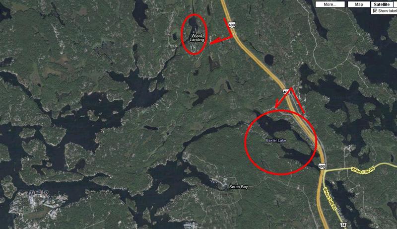
Wood Landing
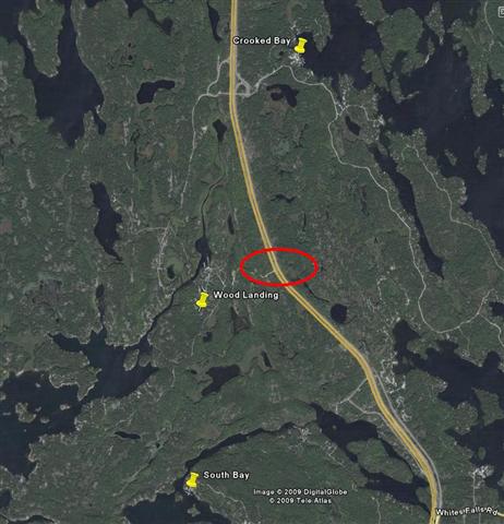
Take Highway 400 past the Honey Harbor/Port Severn exit. Take Crooked Bay exit #168 and IMMEDIATELY LOOP WEST under the highway and re-enter to travel SOUTH back down Highway 400 and take the Wood Landing exit (“Hidden Glen Road”).
The abrupt exit road, shown dead center of the screenshot, is North of Whites Falls Road and Joe King Road, and South of Crooked Bay Road. There appears to be no exit from the northbound lanes.
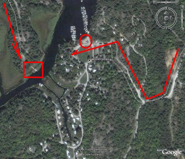
Above is a detailed view of the small settlement of Wood Landing. Enter along Hidden Glen Road from the top-right of the image.
I have outlined our launch spot, and indicated the general route to the store/office.
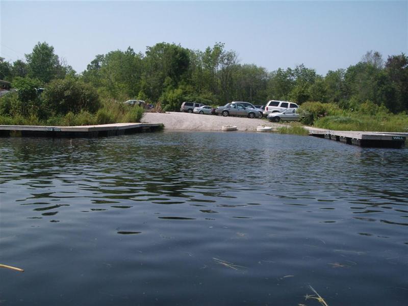
We were warmly received and paid $5 to park.
Bonus: They sell many ice-creams out of a chest-freezer right there in the store.
It is possible to have an ice-cream both before and after a paddle.
We know.
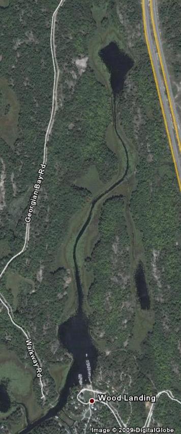
Wood Landing is fed by a small stream from a pond quite close to the Crooked Bay exit from Highway 400. The stream drains the pond.
Downstream from Wood Landing the stream turns into a river channel, bordered by ragged patches of trees and numerous power-boat equipped cottages.
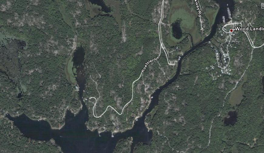
A small bay at the end of Koesler Lane promises a swampy marsh with small wildlife; we did not explore this bay. (Experience tells us that “small wildlife” is a term which encompasses everything from beavers to mosquitoes and black flies).
Near Wood Landing (Photo)
Near Wood Landing (Photo)
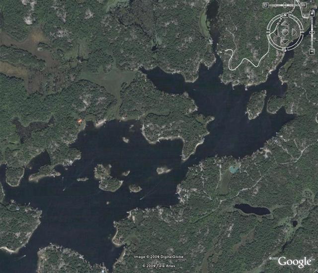
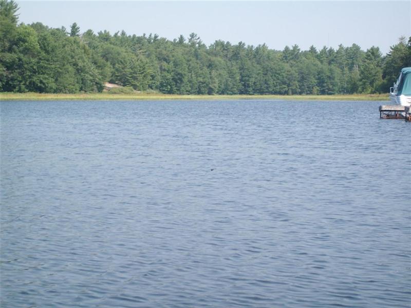
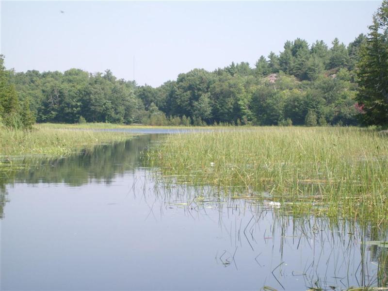
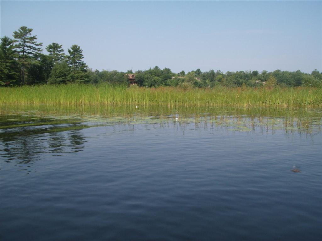
The stream opens out into a set of ragged bays and inlets, dotted with small islands. This area offers a chance to weave in and out of the beauty spots.
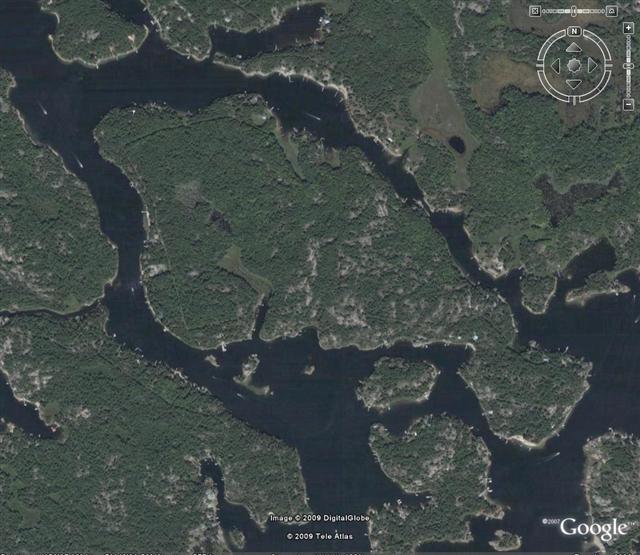
A narrow channel to the North-east, skirting the northern shores of (Picnic Island) leads into Georgian Bay proper, via the Northern shores of the larger Beausoleil Island.
A broader channel to the South West sees us facing a crescent-shaped island, either side of which takes us to Honey Harbor and East to South Bay .
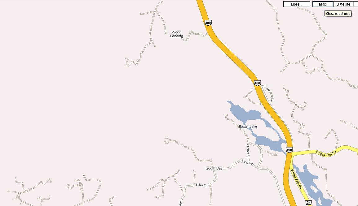
Immediately south of this spot is Baxter Lake which is, however, gained from the NORTHbound Highway 400 lanes.
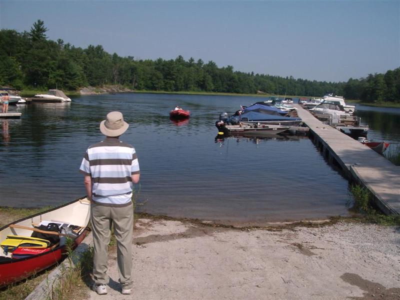
Launching was delayed while Fred finished his ice-cream.
Here we are staring at Fred staring out into the bay between the two jetties. The swampy area in the distance is the mouth of the stream that drains the diamond-shaped pond north of Wood Landing.
I, of course, had finished MY ice-cream well before Fred.
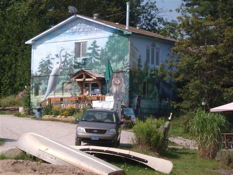
Here is a shot of the store from which we purchased the ice-creams and to which, I feel confident, we will return.
And it's OFF for another action-packed day of drifting around on water.
First towards the mouth of the creek.
A faint breeze hits our backs, which tells us that after we have turned around and headed south, past our launch point, we'll have a tail-wind for our return.
There is a visible current draining down this stream. We can see the long water weeds bent by the current, and every now and then we pass a set of ripples indicating the current.
Weeds and lilies line each side.
Where are the Holsteins? (footnote 1)
Paddling up the creek we are plagued with deer flies and/or black flies. The breeze is at our backs.
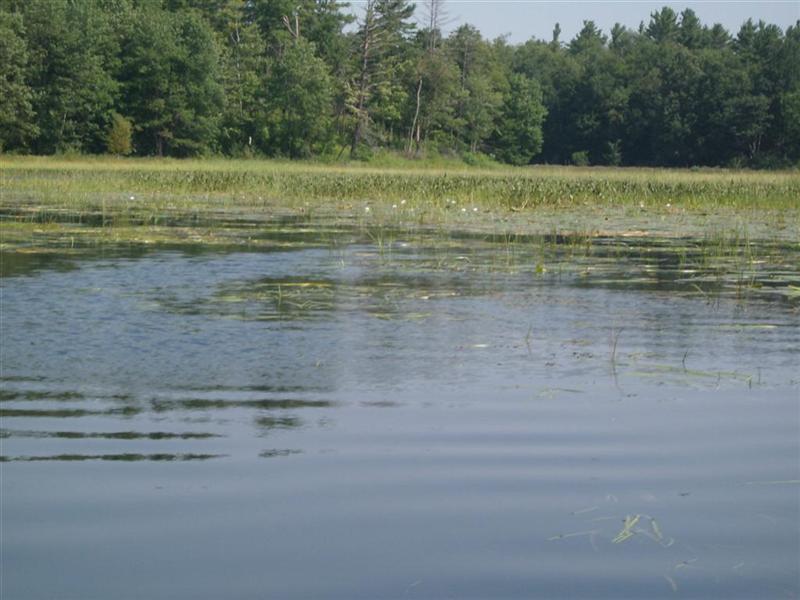
Ahead is the pond.
Keep your eye on that lump of rock peeking out from the pine trees.
Once in the lake there is not a lot to see on account of the pink hands waving across the face of the face to brush away the flies.
That chunk of rock was a piece of the Southbound Highway 400.
Back we go, down-stream, into the breeze.
We paddle like dragon-boat racers for thirty seconds, but these seems only to wake up the flies who, it appears, are always up for a Saturday-morning challenge.
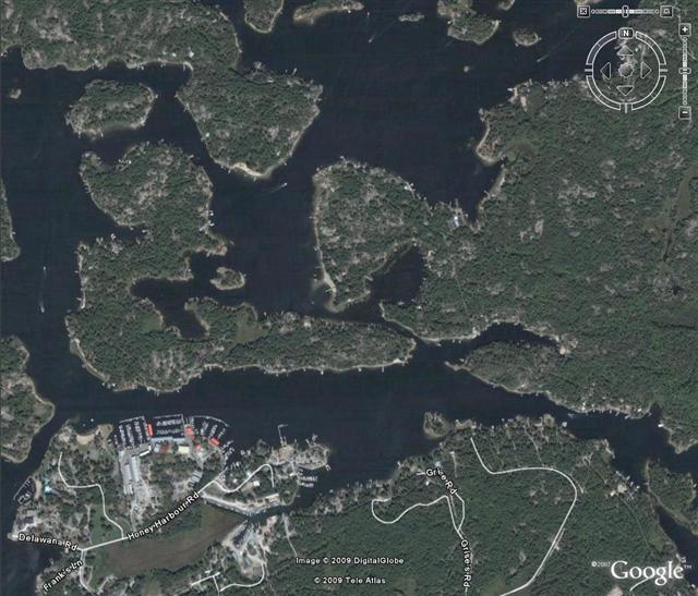
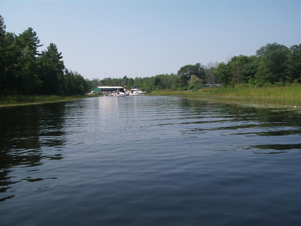
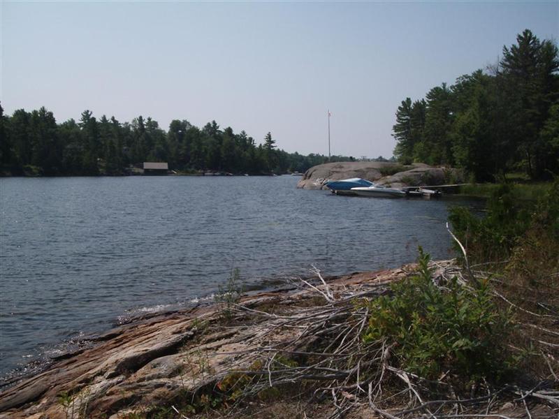
Up ahead you see the Wood Landing Marina at the foot of Walkway Road. I marked that launch spot with a red rectangle on the map way above; we have not essayed with that marina.
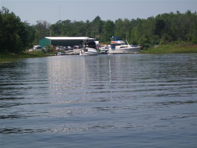
A close shot of the boat ramp at the marina as we glid by.
Reed beds dot the shore of the river as we head down towards the lake.
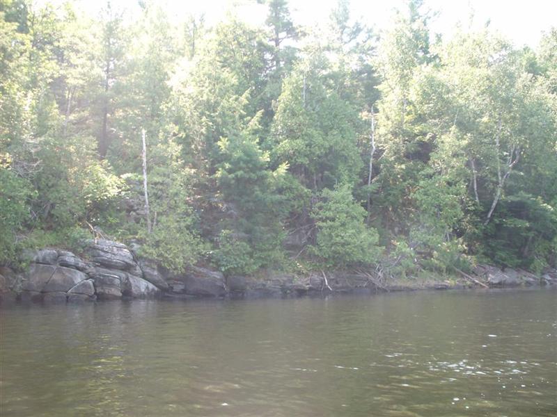
The banks are truly beautiful; trees, shade (it was a hot day), and there are many spots where one could climb out and stretch.
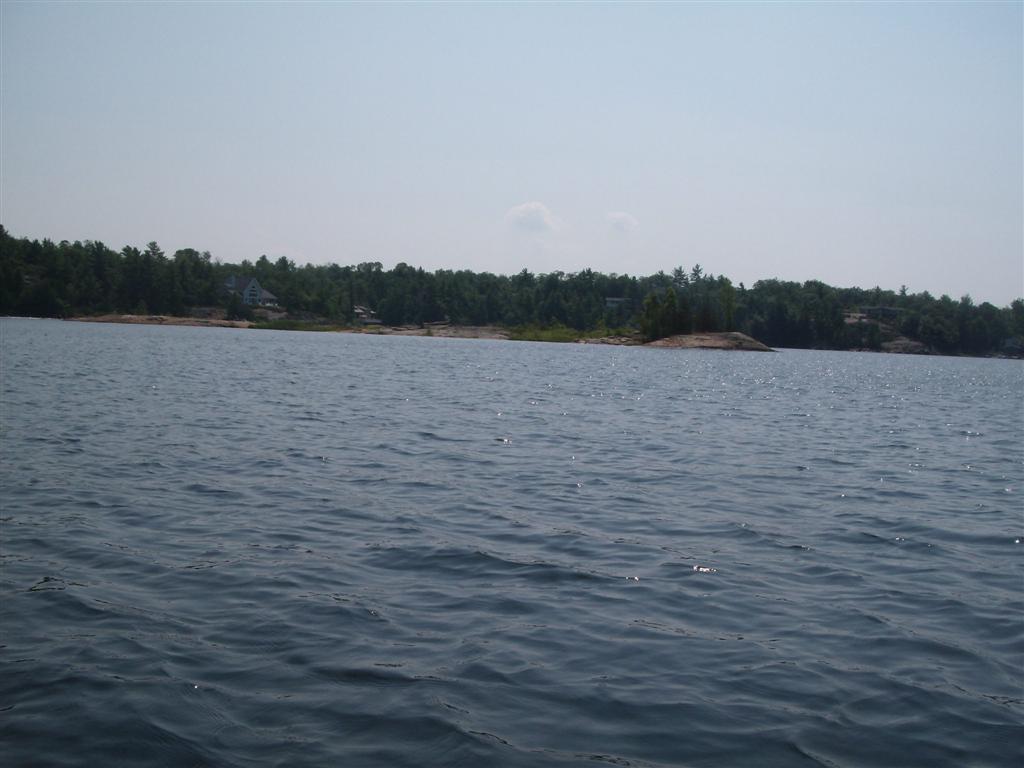
The scenery as we approach the lake promises more beauty.
And fulfills its promise.
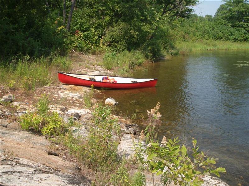
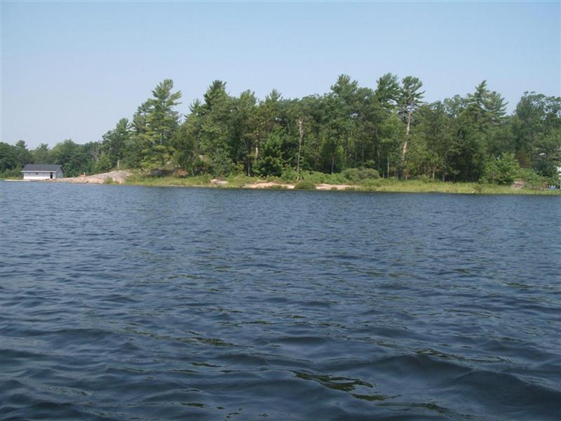
Our lunch spot is marked with a small circle on the outward journey; a flat rock, probably on private property, but off the beaten track of speed boats.
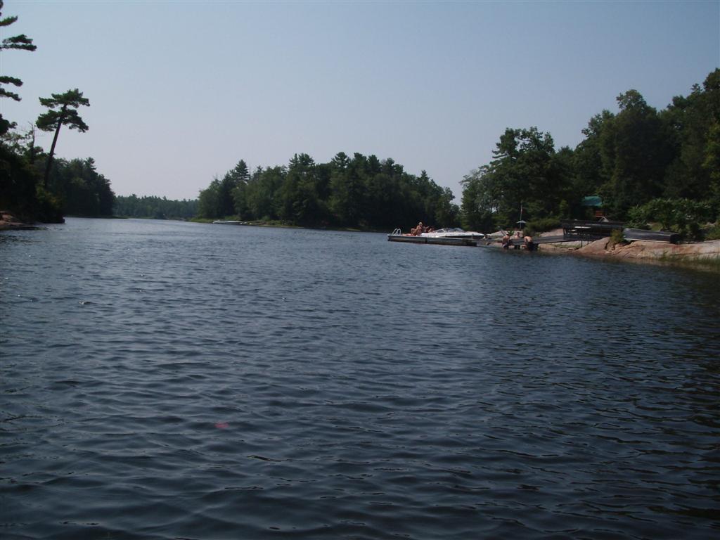
Here is a view from picnic rock looking south towards the channel through which we will soon paddle.
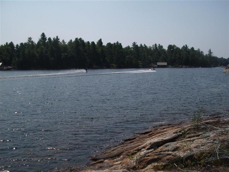
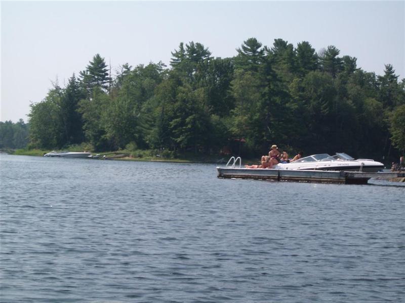
And yup! It's Saturday, and the boaters are out.
We were plagued with waves from inconsiderate louts who either don't know or don't care about their effect on canoeists.
By comparison Crooked Bay was quiet, but that trip was taken on a Friday.
Time was we went paddling on Thursdays, and those days are quieter still.
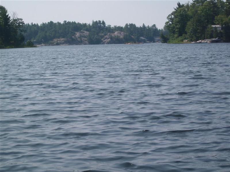
Through the gap we head. The lake opens out with islands, bays, paths to the left of us, to the right and straight ahead.
We try to decide which direction will have the least speedboats.
We were wrong.
The lakeshore scenery is beautiful; we spend some time drooling at "cottages"
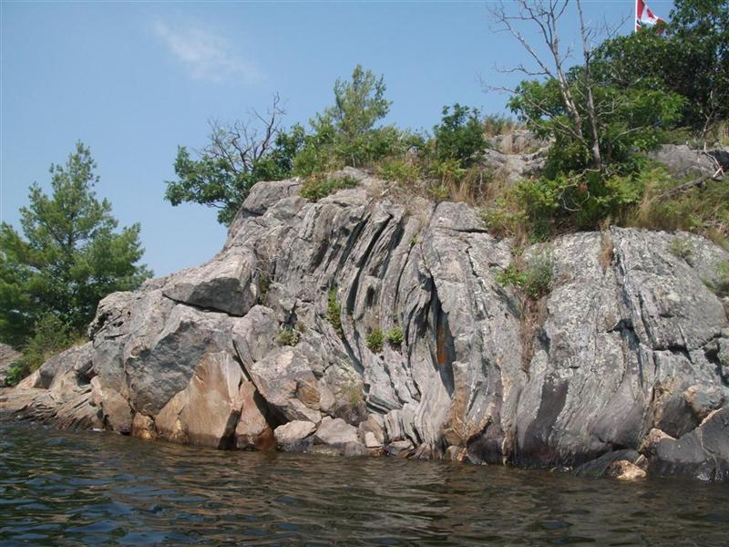
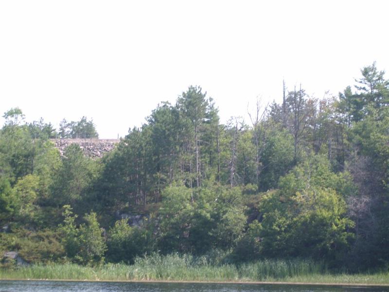
With my background (a looong way back!) in geology I am fascinated by the rock formations.
The rock is granite, but here we can see it has been folded by great heat and pressure.
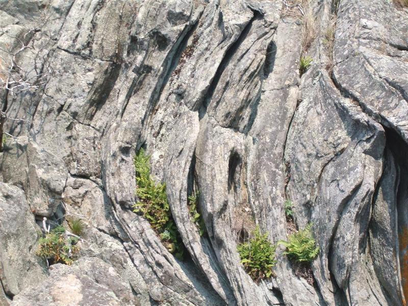
Here is a close-up of that formation.
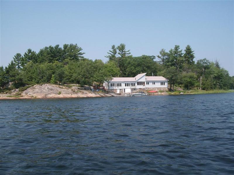
Some cottages take on the dimensions of boarding-houses.
More rock; this shot was taken into the sun with the canoe in motion – sorry!
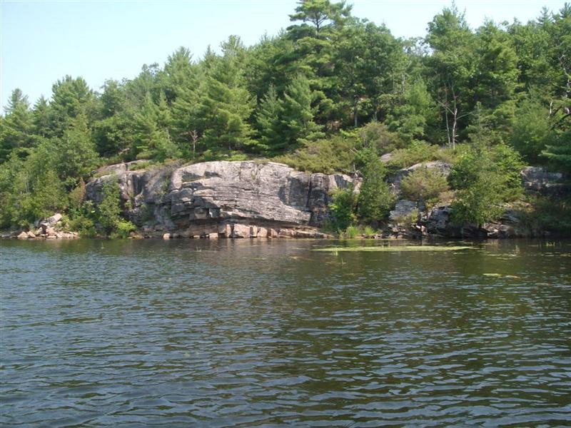
Another fascinating rock formation.
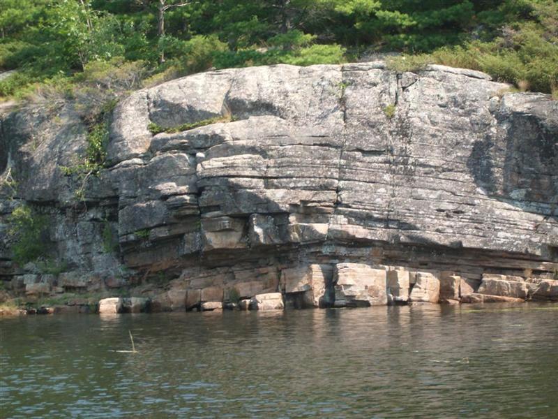
Close up we can see that the granite has fractured into rectangular slabs.
I'm not used to seeing that in the Yilgarn. My guess is that the heat/pressure in this region (from the two-mile glacial overload?) has left week seams, into which water can creep and freeze.
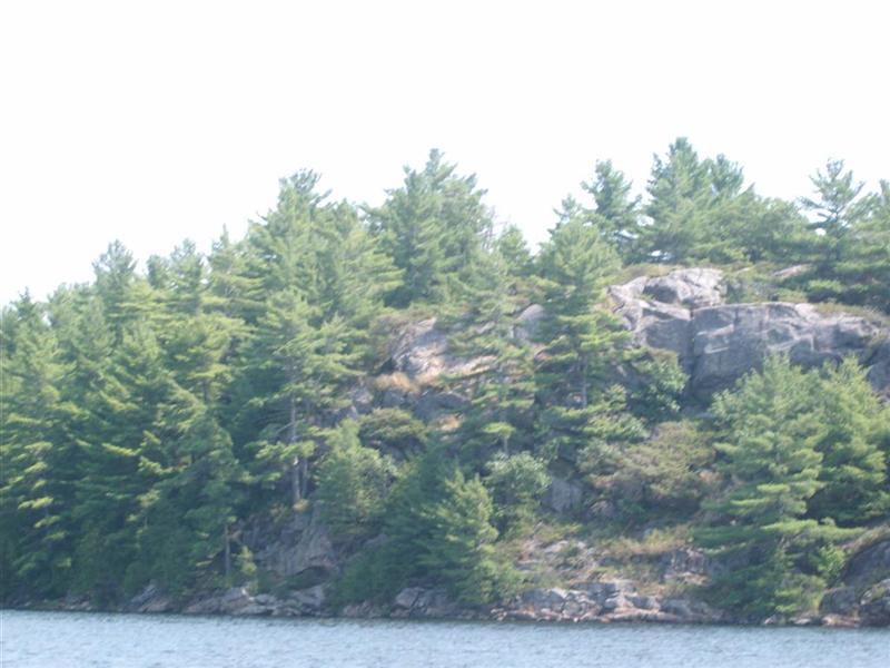
After cruising the islands we head back up the river.
Here's another shot of the "Walkway Road" marina.
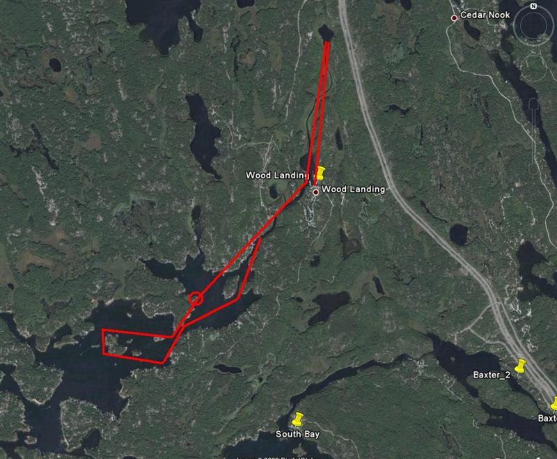
So where did we paddle? From the marina, north to the pond, back down into the lake (lunch is the small circle) and back to Hidden Glen Marina.
(1) That's a reference for those who grew up with "The Invaders" by A. A. Milne.
709 218 7927 CPRGreaves@gmail.com Bonavista, Friday, December 04, 2020 6:52 PM Copyright © 1996-2020 Chris Greaves. All Rights Reserved. |
|---|