709-218-7927 The Landfall Garden House 60 Canon Bayley Road CANADA A0C 1B0 |
|
|---|
.JPG)
Honey Harbor
Maps
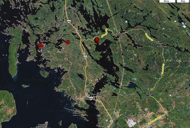
Here were our three options, from left to right, Honey Harbor, South Bay and Whites Falls. We chose to launch at Honey Harbor and paddled to South Bay and back.
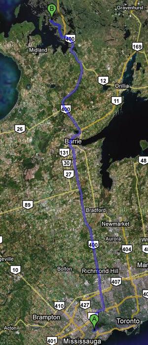
Here is the trip up Highway 400 from Toronto. Head North, young man!
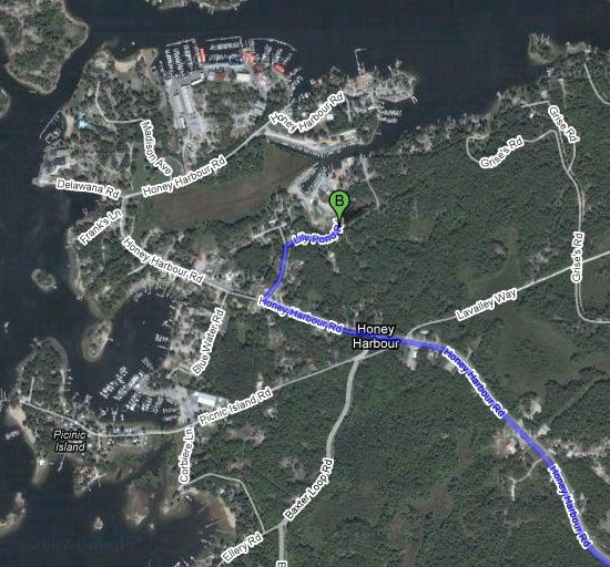
And here we are arriving at the marina, having first toured the town and spotted several ice-cream dispensaries.
The Trip
To the best of our knowledge, no free boat launches in Honey Harbor. Well, you get two hours next door to the Georgian Bay Park, but who paddles for a mere two hours. So we paid our $7 (no receipt, as usual) at the marina at the end of Lily Pond Road and set off.
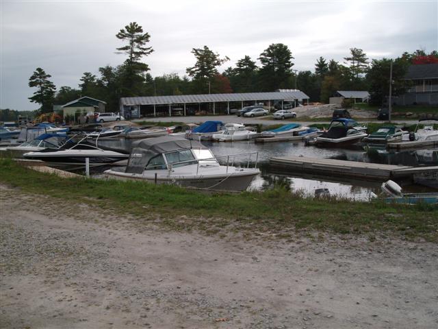
Here’s a view of the marina office (in the distance). I took this shot while My Man was getting the boat ready.
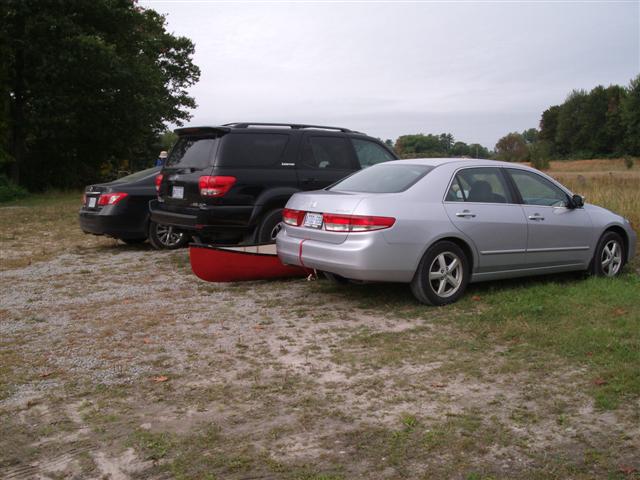
Here you can see the boat is not ready. For some reason My Man is stalking off into the distance. I wonder if I said something to upset him? Oh Well!
Now we are back on track, and the best of friends again. The maps and coats are stowed, life vests ready to don, paddles ready for use and, most important, luncheon bags and boxes.
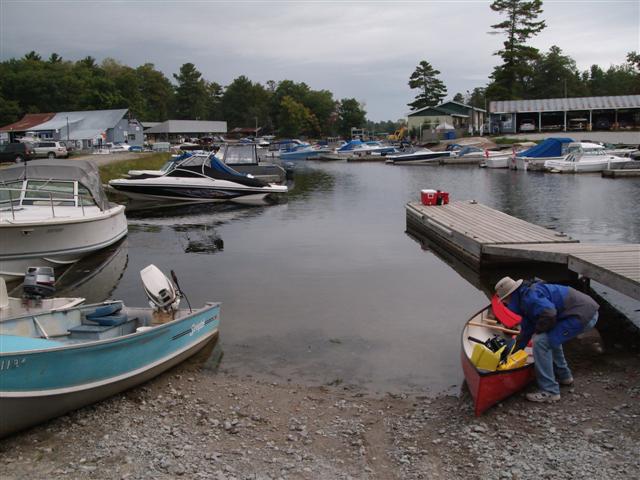
And off we go. Out of the Marina, down the channel into the first bay
A sweet and cloudy day, no brilliant sunshine reflecting off a million ripples to blind us. “Muted greys and greens!” I yell excitedly to Fred, who mumbles something about “muted passengers”.
Power boats zoom (in some cases) past us and we must negotiate the bow waves created by the cretins. (“Cretins” comes from the Greek word which means “Those who create bow waves”).
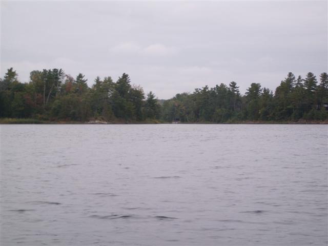
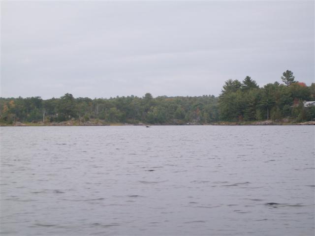
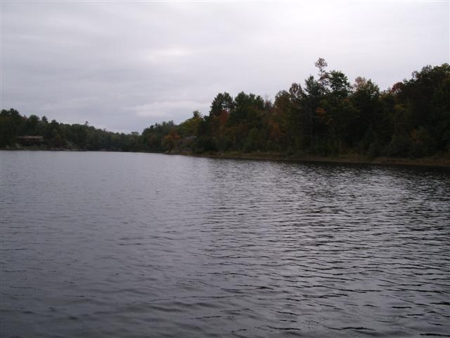
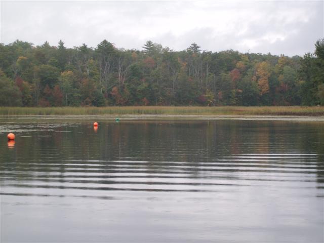
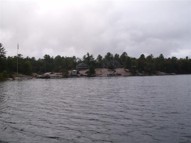
Large islands dot the bay, as do small islands. The larger islands have cottages.
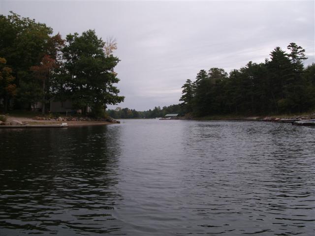
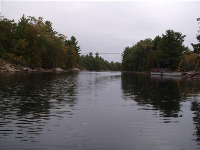
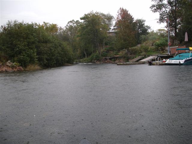
Here’s a view from the lake to the mouth of the river, marked “A” in the Google Earth map at the end of this page.
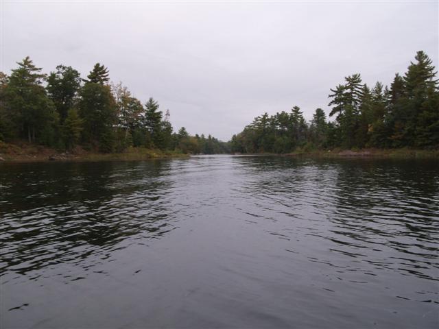
And up the river we go, away from the power boats, into the quiet leafy waters.
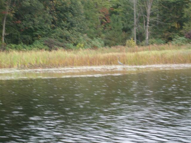
Fred spots two herons, but by the time I unship my camera, we are zooming past and zooming out of focus. Sorry!
The area is dotted with barges. Also specs of foam on the water. What can that mean? (Hint: See here )
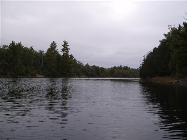
Past the barge, up the river. Not much wildlife here, but restful scenery. A great change from my apartment with a Ginger Cat who thinks he is a Border Collie.
The wind picks up a bit, but are we deterred? NO!
The water starts to fall as rain as we round a bend and reach the, well, the water falls. Those are rain drops hitting the water instead of my head.
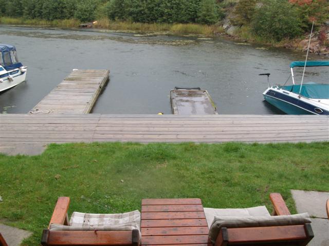
We pull up by what looks suspiciously like a private lodge, and take shelter under some trees while we eat our lunch and try to outlive the rain. That’s the tip of the canoe peeking coyly under the dock.
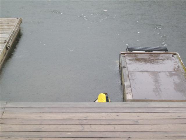
And just to prove it – here’s a close-up.
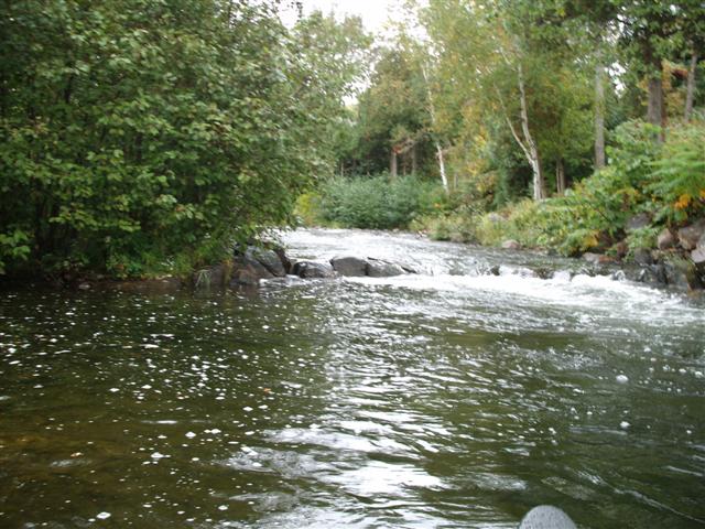
The rain stops (temporarily as it turns out) so we investigate the falls.
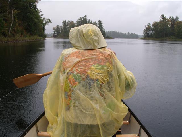
The Hunchback of Oxtongue Lake re-appears, this time shrouded in a map-of-the-world jacket (for show) and a duckling-yellow poncho for effect.
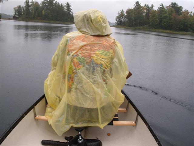
Through the incessant drumming of the rain I call out “Where are we?” and Fred replies “Tibet!”.
Aaaaaaaargh.
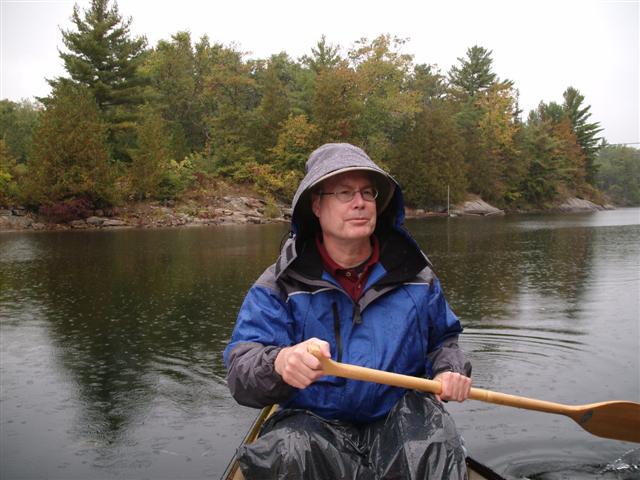
Fred is decked out in an expensive modern lightweight waterproof fleecy-lined zip-tight thing he bought out of a catalogue. I hate people who have better rain-gear than me. That’s one of my garbage bags he has draped over his legs.
Out of the river and hang a left to explore South Bay. South Bay (marked “B” in the Google Earth map at the end of this page) is car-accessible from two access roads, one from Honey Harbor Road, and one from a Highway 400 exit.
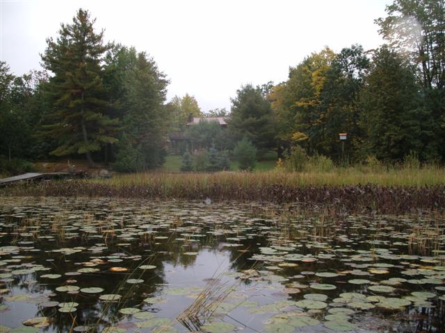
The bay is bordered by swampy reed beds.
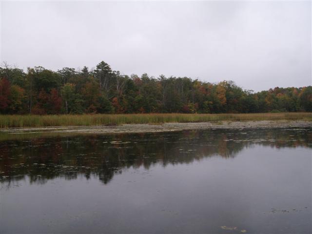
And the fall colors are starting.

We are quite close to South Bay Road, and there’s a road sign to prove it!
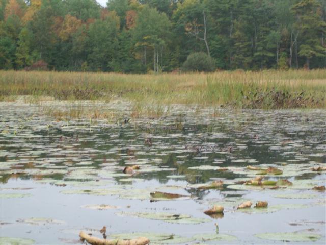
Plant tubers have been torn up, or have floated to the surface. They take on the appearance of dead baby otters, on their backs with their feet in the air.
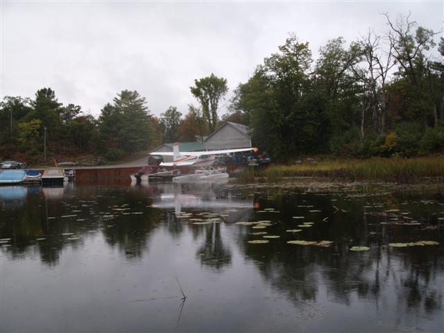
We spy a float plane.
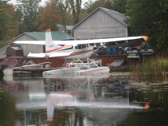
Fred tells me that the wing tips are fitted with a kit for STOL, likewise the tail is modified. Makes sense to me. The rain has kicked in again and my mind keeps drifting away from ice-cream towards toasted crumpets with honey.
At last – a cottage that I can afford on my income!
Here’s a close-up view of same.
In the front yard, a HUGE Canada Goose.
Made out of cement.
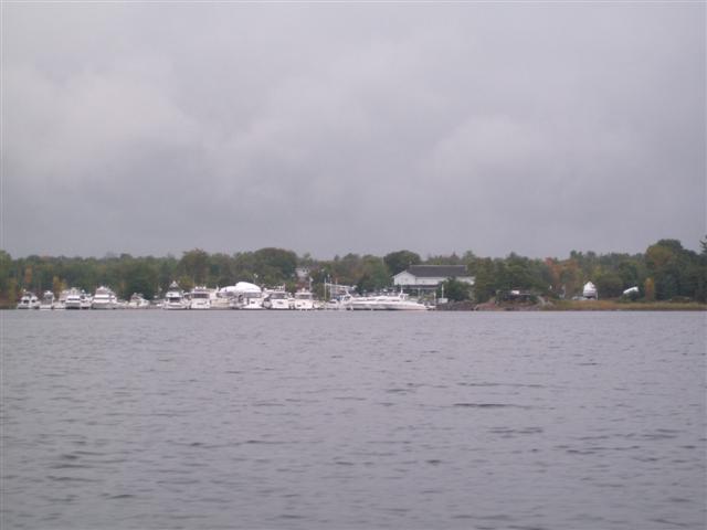
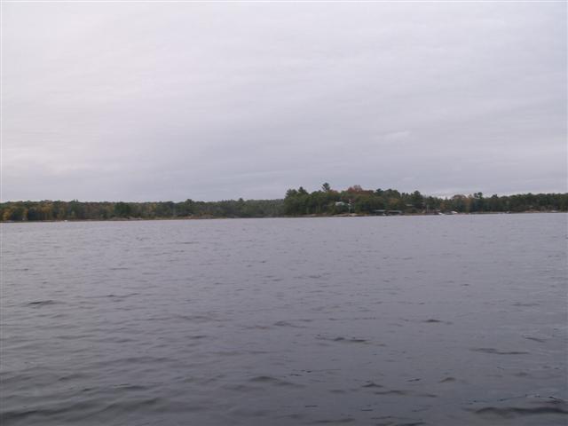
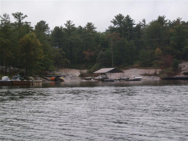
Each bay holds a marina and each marina seems to hold huge boats by the half-dozen or so.
We spot a house on a huge granite outcrop (“huge” was on special when I opened up Microsoft Word this morning!). The black line snaking down the centre of the image is a set of stairs hewn and cast into the rock face.
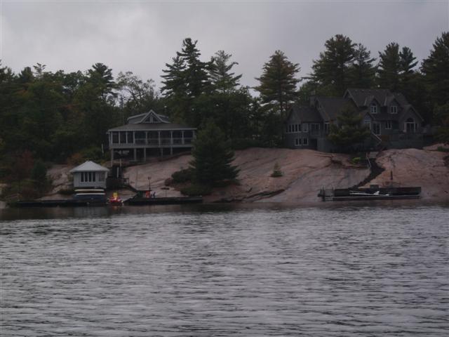
Here’s a closer look at those stairs.
The rock continues away to our left.
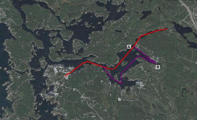
Here’s a view of our day, the vermillion marks the trip out, the magenta the different route back. Yes, that’s Highway 400 running across the top-right corner.
709 218 7927 CPRGreaves@gmail.com Bonavista, Friday, December 04, 2020 6:48 PM Copyright © 1996-2020 Chris Greaves. All Rights Reserved. |
|---|