709-218-7927 The Landfall Garden House 60 Canon Bayley Road Bonavista, Newfoundland CANADA A0C 1B0 |
|
|---|
.JPG)
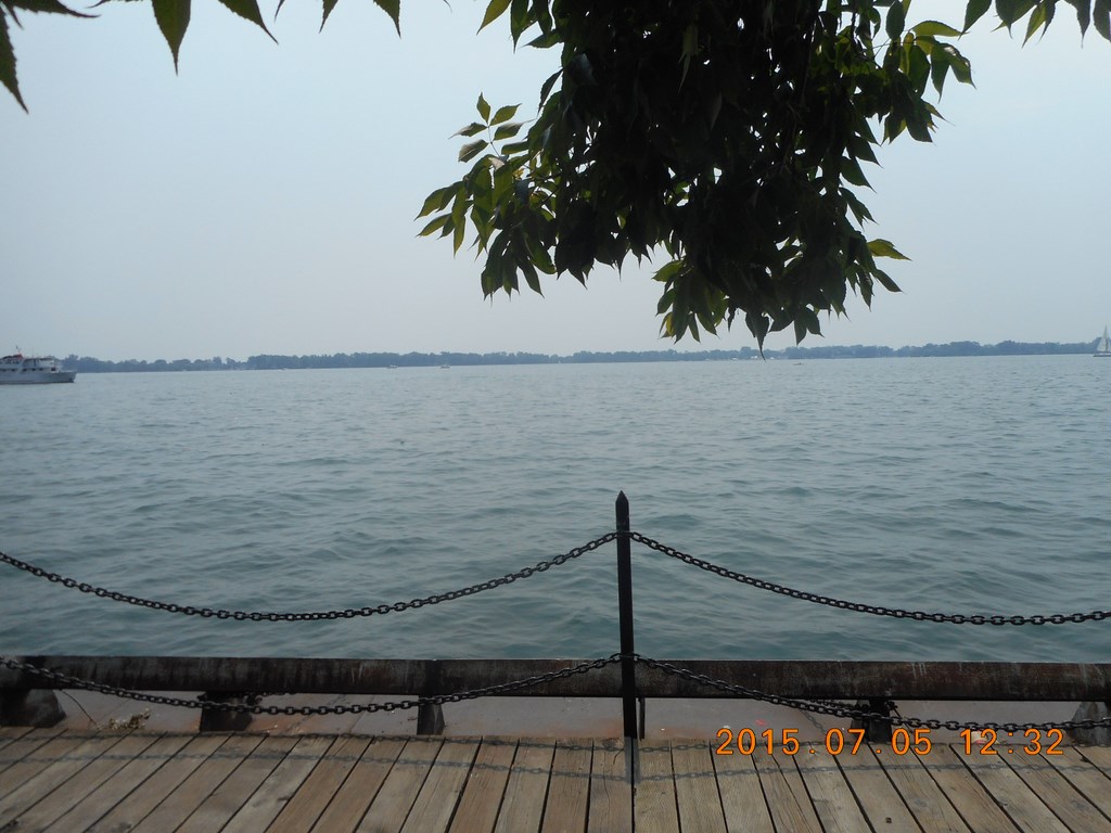
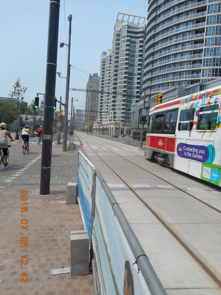
Queens Quay
This is the western side of the area described in The Gardiner Expressway .
My walk is spray-painted above in Purple, from near College Subway Station south down Bay Street to Queens Quay and then east along the waterfront, as much as possible, enjoying the sunshine, fresh air, and the lap-lap-lap of wavelets on the shore.
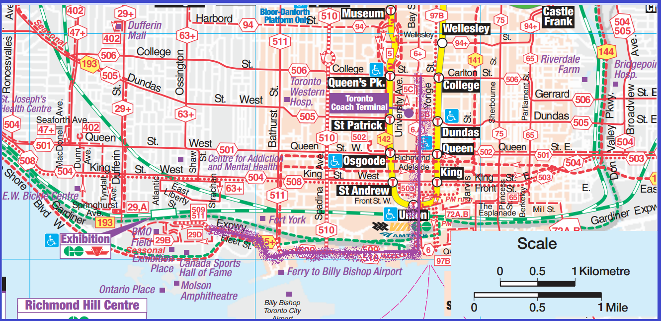
The gun-toting Toronto Police are much in evidence. This one was lurking in the shadows of one of the entrances to The Westin Harbor Castle until I took out my camera. What you can’t see are pairs of cops loitering all around the hotel. Given the propensity of police to Kettle law-abiding citizens during the G20 summit, we have reason to be more afraid of the police than of terrorists.
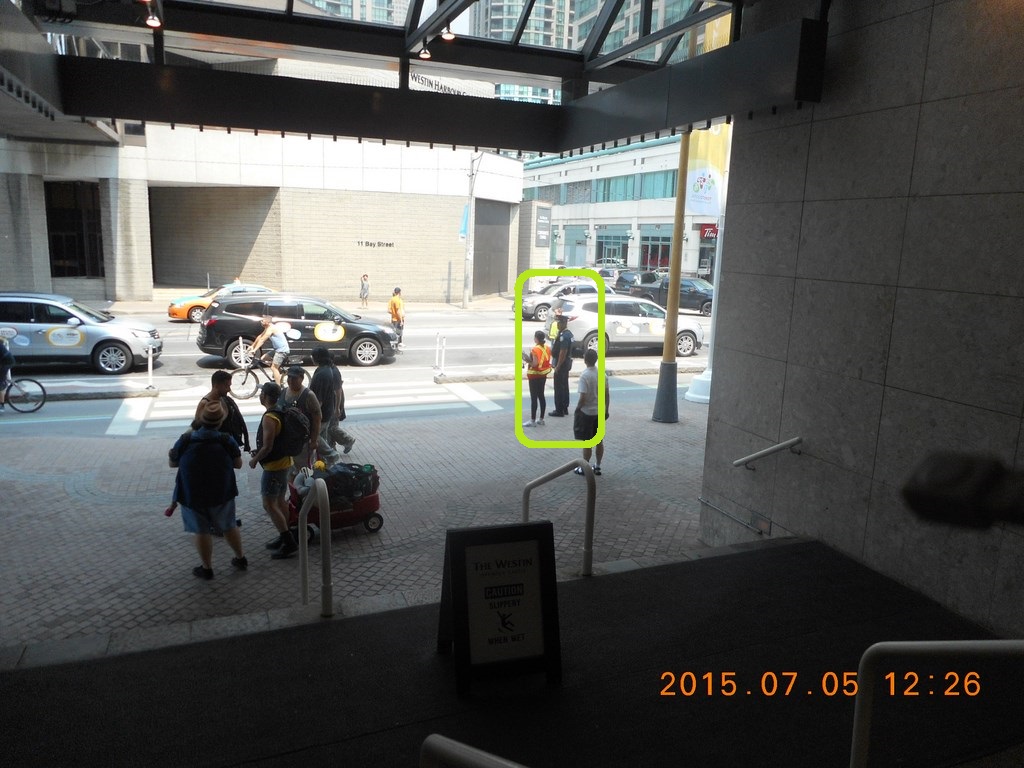
This is part of the line-up for the Toronto Transit Commission Ferries to the Toronto Islands. The line starts near Yonge Street, to the left of the photo, snakes along the north face of the Westin Harbor Castle and then down the west side of Westin Harbor Castle until it reaches the crush at the Toronto Transit Commission ticket wickets.
Don’t be deceived by the thinness of the line at this point. People are walking and so the line is temporarily thinned out. Why are people walking? Because a ferry left ten minutes ago and the “move up” wave has only just reached this part of the queue.
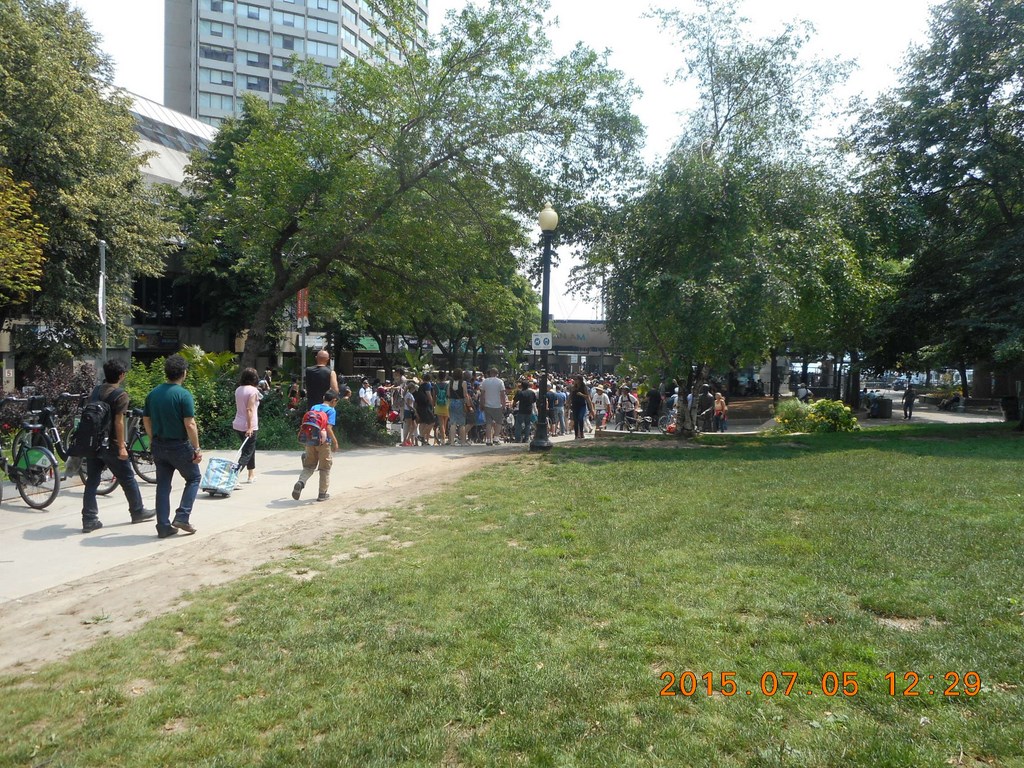
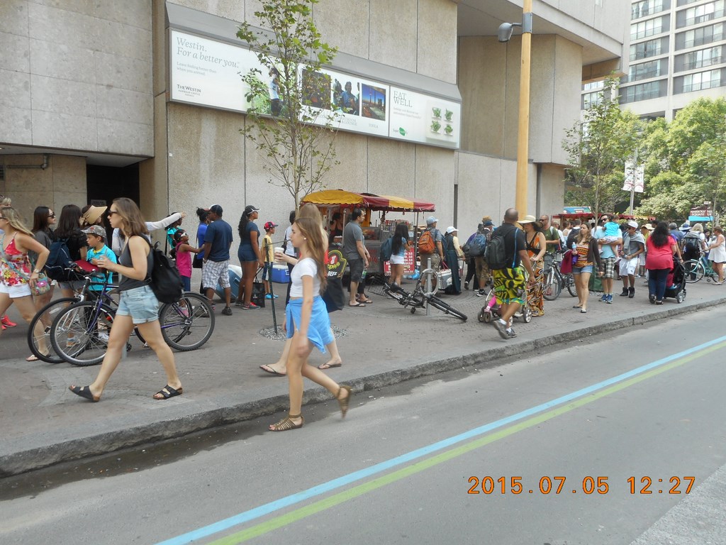
I move to the west, right a little bit and walk closer to the waterfront. Here we see a more advanced portion of the crowd, all waiting for a chance to transform into a crowd on a ferry.
Still more crowd.
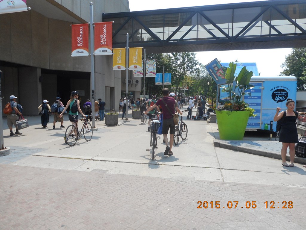
Dead centre of this photo the crowd darkens as it clusters around the Toronto Transit Commission ticket wicket. To the right of that you can see an empty gap, a gateway with a man strolling across the gateway. That man could be me!
That man IS me! Here I am in the gateway showing the Toronto Transit Commission booth peeking coyly out from the left. In the centre are the security staff making sure that none of the caged mammals escape from the barred cages until the next ferry arrives.
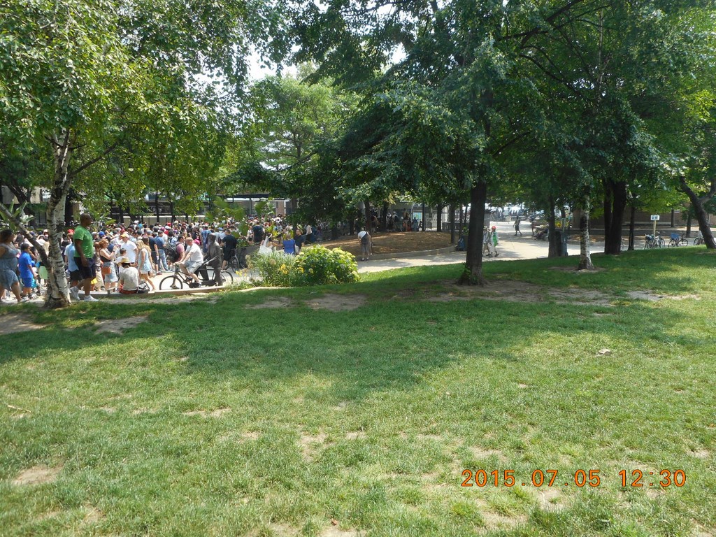
I swivel on the balls of my feet. Where would you rather be? In a queue of sweaty people where you will wait for an hour or more just for a chance to join the crowds on The Toronto islands, or eating a picnic lunch under a shady tree on the mainland?
OK.
Of course it’s different if you have little kids ...
Then you definitely wouldn’t want to stand in a line-up for hours, right?
I cross the grass and here we see the great joke we play on tourists who walk down here to “see Lake Ontario”. You can’t see lake Ontario! You CAN see Toronto Harbor and The Toronto Islands, but if you want to really see Lake Ontario you’ll have to join the line-up for the Toronto Transit Commission ferries and then walk across to the south side of The Toronto Islands.
Go to the end of the queue, please, and be patient.
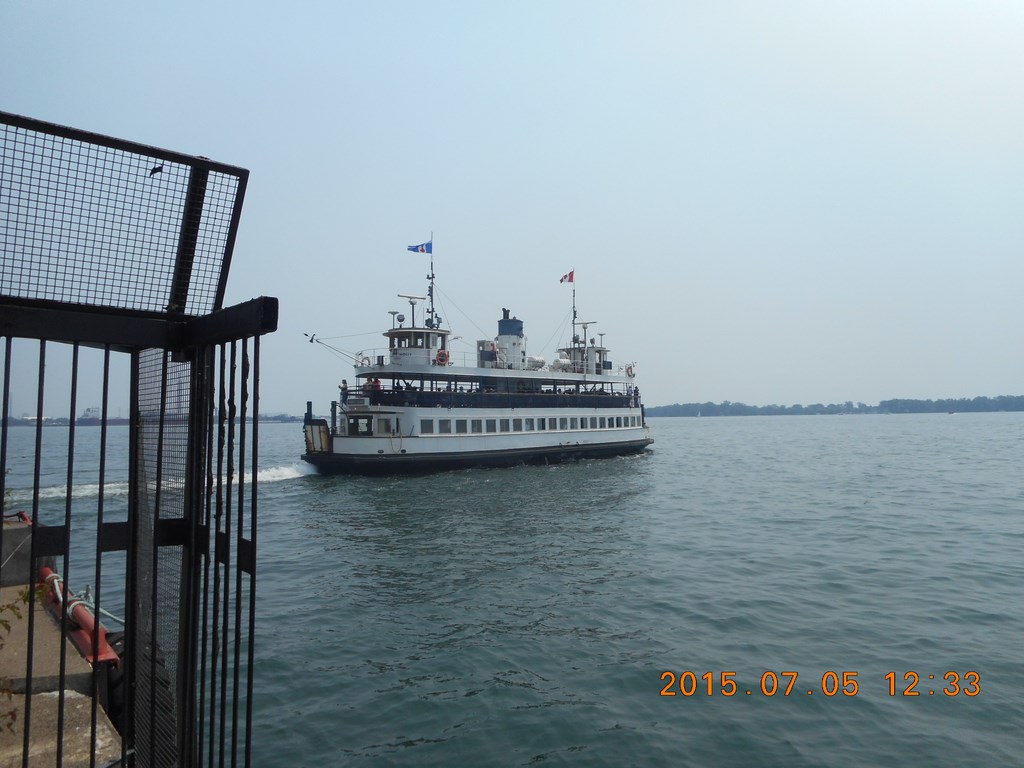
Toot-Toot! goes the ferry. Chug-Chug! goes the ferry, and backs out of its berth and sets off only half-full to cross to one of the three berths that isn’t Centre Island, where almost everyone wants to go.
Why is the ferry only half-full, when there are so many people waiting? Because it is going to Hanlan’s Point or to Wards island, neither of which have overpriced slices of pizza and fun rides.
Here’s another question: Why doesn’t the Toronto Transit Commission run a shuttle bus service from those two berths to Centre Island (that is, run shuttle buses ON the islands) and offer people a ride on the underused ferries if they will tolerate a shuttle bus to where they want to go?
People would spend more time travelling – perhaps an extra 50% - but waaaaay less time standing in line waiting to board a ferry.
Or you could just pay a bit more and travel to The Toronto Islands by a private ferry service.
“You pays your money and you takes your pick, lady!”
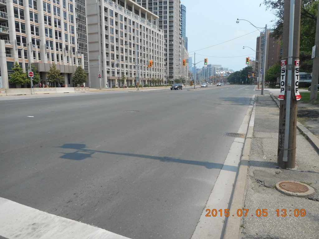
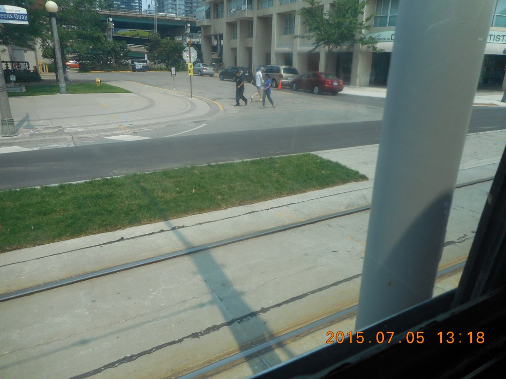
Much has been written since the long-delayed (it’s a Toronto project!) Queens Quay Revitalization Project which wrapped up temporarily a week or two ago. “Temporarily” because any Toronto project that involves streetcar rails usually involves relaying the rails, or fixing the concrete, or something the next year.
The current debate centres on the contention that the road surfaces confuse the drivers.
From this point it is hard to see why that should be so.
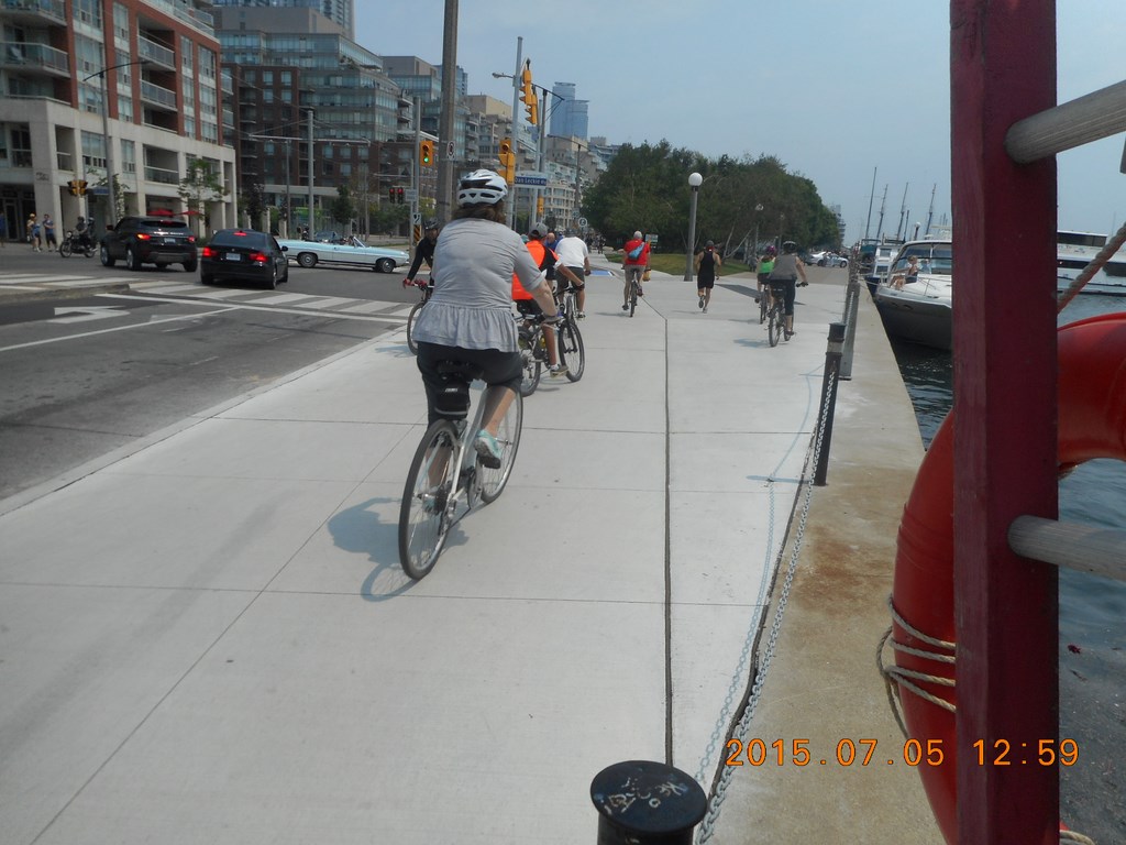
On the far left, circled in yellow, is the pedestrian race. I have temporarily left that area to stand in no-mans-land to take this photo.
Then we have the cycle lanes, with four cyclists in view, three of whom appear to be enjoying themselves.
Then we have a bit of no-mans-land.
Next comes the streetcar right-of-way – obvious enough done in an appealing shade of Toronto-City-Unimaginative-Grey. Who knows? Maybe next year they’ll buy some appealing shade of Toronto-City-Imaginative-Green.
Beyond that you can see a Becks taxicab competing for road space with a private vehicle, and beyond that the pedestrian footpath on the north side of Queens Quay.
Got it?
From south to north, colour-designated areas for pedestrians, cyclists, streetcars, road vehicles, and pedestrians.
Not a problem, as far as I can see.
Which is about a hundred yards.
Just to prove it, here is a shot of a regular (i.e. not one of the delayed-delivery) streetcars using its right-of-way, westbound.
Ding-Ding! Goes the streetcar, only there are no pedestrians for it to warn with its Ding-Ding!. Who knew that a streetcar could have a habit that is hard to break.
Or maybe it has a habit like that because it is hard to brake?
Ah! This is way better than lining up to fight my way onto a ferry and get cola spilled all over my trouser legs.
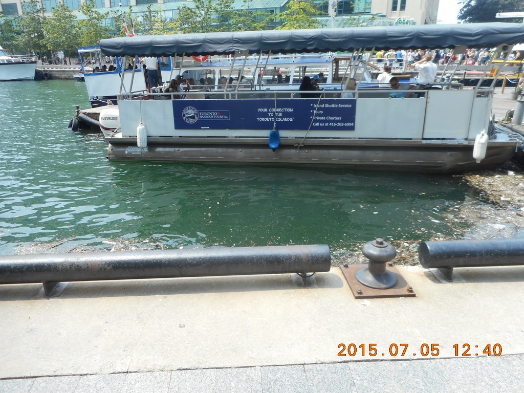
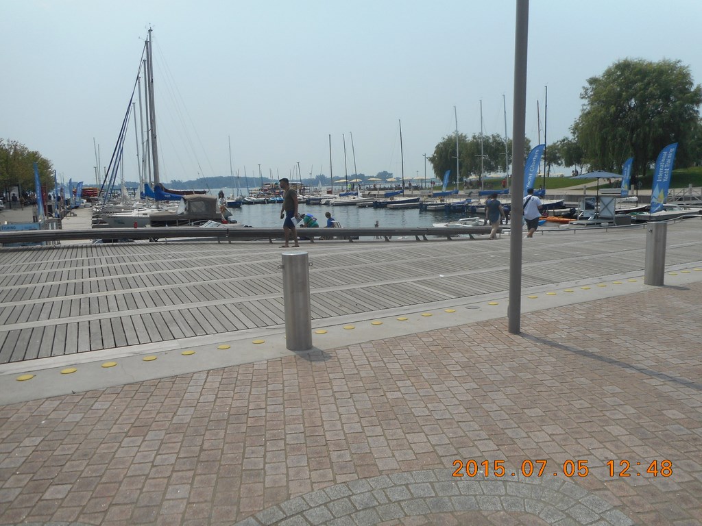
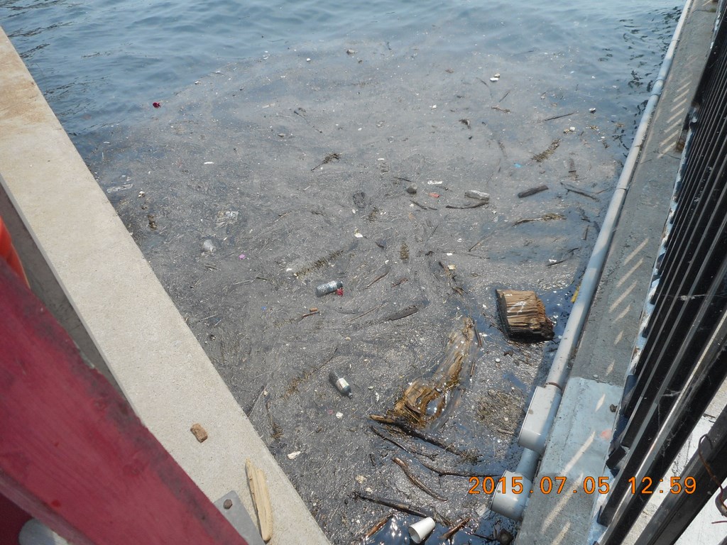
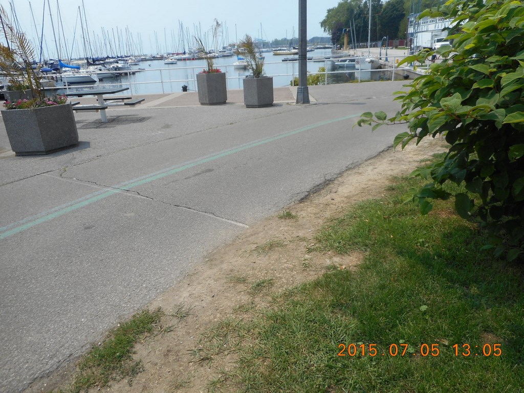
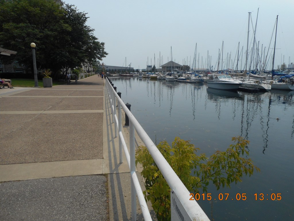
Here is a shot of one of the many little bays set into the shoreline. If you like staring at other people’s boats, or if you just like watching seagulls hover for the chance of a crumb of pizza dough, there are many spots along Queens Quay to satisfy your lusts.
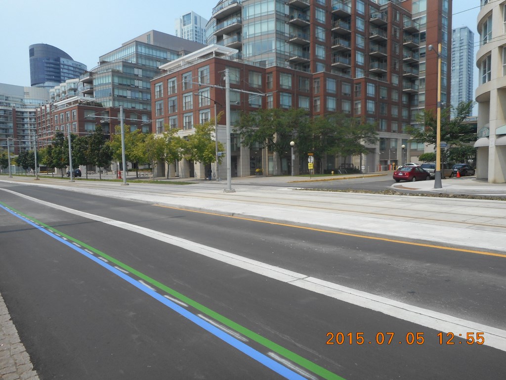
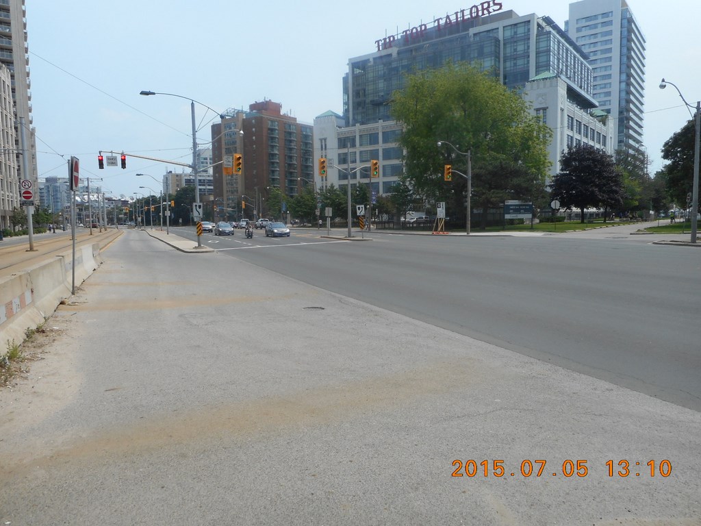
Remember how I couldn’t see more than a hundred yards? That’s because EVERYTHING CHANGES!
Change is good, right? Now we have a pedestrian area (as before) but the bike lanes share a chunk of bitumen roadway with motorized vehicles. True, a strong white line separates bikes from cars, but only if bikes and cars don’t stray over a painted line.
Then comes the streetcar right of way, then the westbound vehicular traffic, then the pedestrian footpath on the north side, and then a side street.
There is a yellow No Exit sign on the street; fair enough. But when you do exit the street back on to Queens Quay, you’re going westwards. You don’t have an option of eastwards; not here.
And now that you’ve gotten used to the change, EVERYTHING CHANGES! Again.
Now we no longer have a bike path. It’s a pedestrian footpath, used in the main by clusters of speeding cyclists.
Also we now have two lanes for eastbound vehicular traffic.
Still, at least we are close to the water.
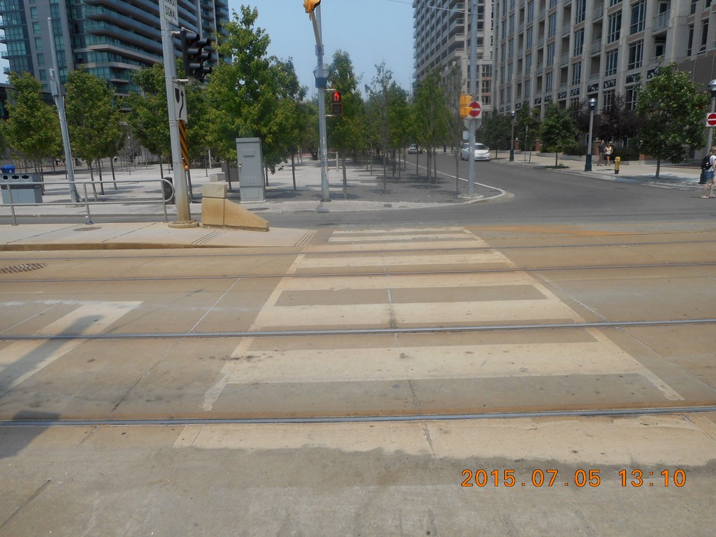
After crossing the line of Bathurst Street the pedestrian footpath disappears completely and I am confronted with walking (illegally?) on what is clearly a bike path, and that is really only wide enough for two bikes – one in each direction.
Please Walk On The Grass.
To the south of me is the Toronto islands Airport. I’ll swear there was a Porter Airlines turbo-prop taxiing by as I clicked the shutter.
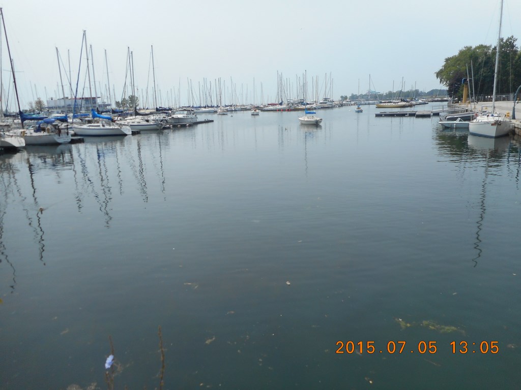
Still in the same spot, lotsa boats on lotsa water,
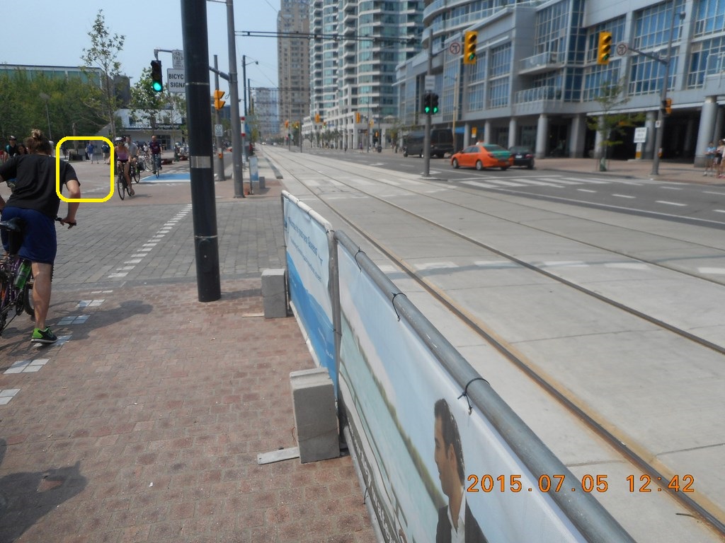
I walk further east to a point roughly at the line of Ossington Avenue, I think, although Ossington stops at King Street, pretty well.
Reading from right to left:-
(1) A Toronto Transit Commission temporary sign telling me that this is no longer a temporary streetcar stop
(2) At least five unmarked lanes for vehicular traffic; three go eastwards and at least two come westwards.
(3) Where you see green traffic lights, we have no pedestrian crossing at all, and no buttons to change the lights. We are at the mercy of road users.
(4) Where I stand you can see (bottom left of the photo) a smidgen of white STOP line for eastbound vehicles when their lights go red. We have no pedestrian crossing here either, and no buttons to change the lights. We are at the mercy of road users.
(5) To the left of the black car waiting at the stop lights is the streetcar right of way. That’s right: Now that you’ve gotten used to the change, EVERYTHING CHANGES! Again.
Now it is two-way traffic for road users and then the streetcar right of way over to the north side of Queens Quay.
(6) Around about this point I gave up on figuring pedestrian footpaths or sidewalks. Since there are no pedestrian crossings I assume that we ought to have no pedestrians.
On the other foot, I did walk here though!

Two Asian ladies concur (as in “with, run”) that now is a good time to disobey the law and cross five or six lanes of traffic while there is no traffic; the lights have not changed. There is no cross-traffic to make them change. And there are no pedestrian buttons to make them change.
Nothing changes; except the sidewalks, streetcar rights-of-way, cycle paths and traffic flows.
In the photo I am looking south, back to where I stood to take the previous two photos. You can just make out the temporary Toronto Transit Commission notice saying that the temporariness of the stop is no longer, directly below the stop light assembly.
If you are into puzzles, try to work out why left-turns are prohibited at this intersection, when three lanes of traffic can stream eastwards anyway.
I swivel a bit to my left and now we see that we have three lanes westwards as well as the three eastwards.
No one knows what that empty lane is for, but it is for eastbound traffic.
So from right to left:
(1) Pedestrian sidewalk on the south side of Queens Quay but no pedestrian crossings.
(2) Three lanes of eastbound vehicular traffic, but no bike lanes.
(3) Three lanes of westbound vehicular traffic, and no bike lanes.
(4) One lane of eastbound vehicular traffic, possibly able to make a left turn at some point east of here. Maybe not.
(5) Streetcar right-of-way
(6) Pedestrian sidewalk on the north side of Queens Quay
(7) Nowhere to grab a cup of coffee and have a sit-down
I swivel even more to my left, facing north. Now we have a pedestrian crosswalk that leads to where I stand – but there is no continuation of the crosswalk behind me - to the south side of Queens Quay!
Perhaps the idea is that pedestrians can cross only far enough to hop on a streetcar.
Or perhaps in typical Toronto fashion, the project is 95% complete, and that’s good enough to pronounce it complete and everyone can take off on holiday.
My money is on BOTH options.
So I hop on the next streetcar, a regular streetcar, now renamed from “new” to “old” because some half dozen of the new articulated cars have arrived from Bombardier; they are therefore only 54 units behind schedule.
Here’s the catch.
The new streetcars boast Presto card technology; board at any door, tap your Presto card and the magnetism knows/remembers that you have paid your fare.
Strictly speaking an inspector with a hand-held device can interrogate your Presto Card and determine that you have, or have not (!) tapped the card to pay the fare.
It’s called Proof-Of-Purchase.
But because the #509 route is now designated as a Proof-Of-Purchase route, you better have proof that you purchased a ride.
Of course, if you are on a new streetcar AND use a Presto Card, the proof is magnetically recorded in the card.
But if you don’t have a Presto Card, or if – like me – you have a Presto Card but board a vehicle that does not have Presto technology (i.e. roughly all but six of the Toronto Transit Commission surface vehicles!), then you better have a paper transfer.
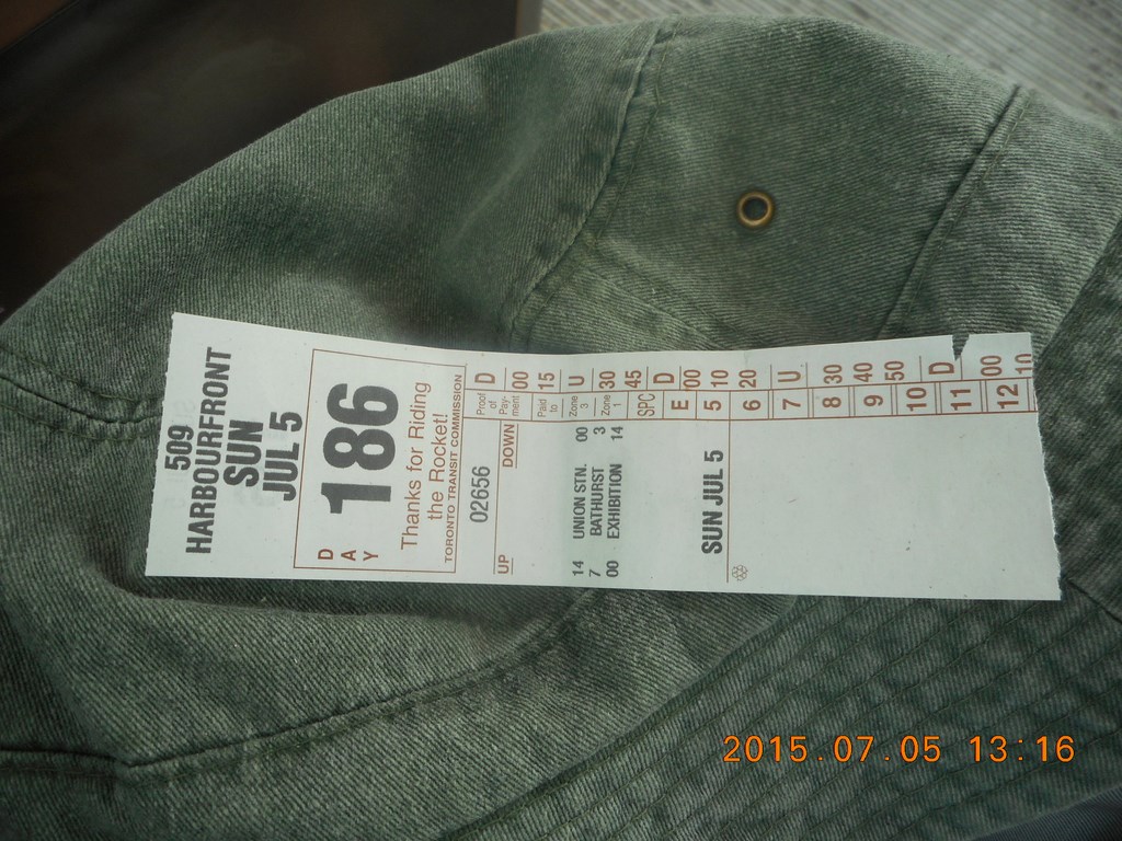
Consequently, the driver HAS to give me a transfer and I HAVE to accept the transfer, even though we both know that I don’t need it, because I am riding this streetcar INTO Union Station where I will not need a transfer to board a subway train home! (Please see also “ Ride all Day ”)
Bizarre is not the word, but I don’t know what is the word for this situation.
Alongside the streetcar right-of-way are narrow grassed strips.
So far so good.
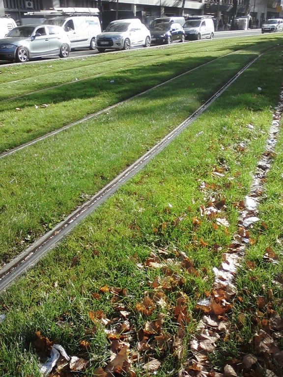
But why not grass the entire right-of-way?
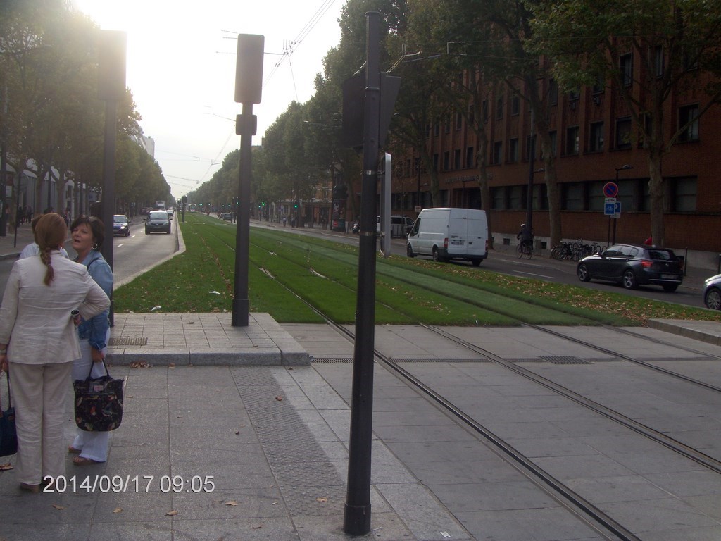
It’s what they do in Paris.
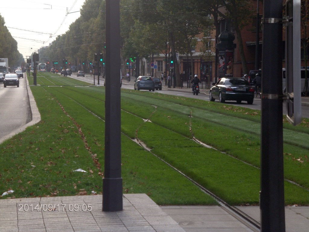
So clever.
So thoughtful.
So smart.
So beautiful.
709-218-7927 CPRGreaves@gmail.com Bonavista, Wednesday, April 12, 2023 8:31 PM Copyright © 1990-2023 Chris Greaves. All Rights Reserved. |
|---|