709-218-7927 The Landfall Garden House 60 Canon Bayley Road CANADA A0C 1B0 |
|
|---|
.JPG)
Wednesday September 4th 2013
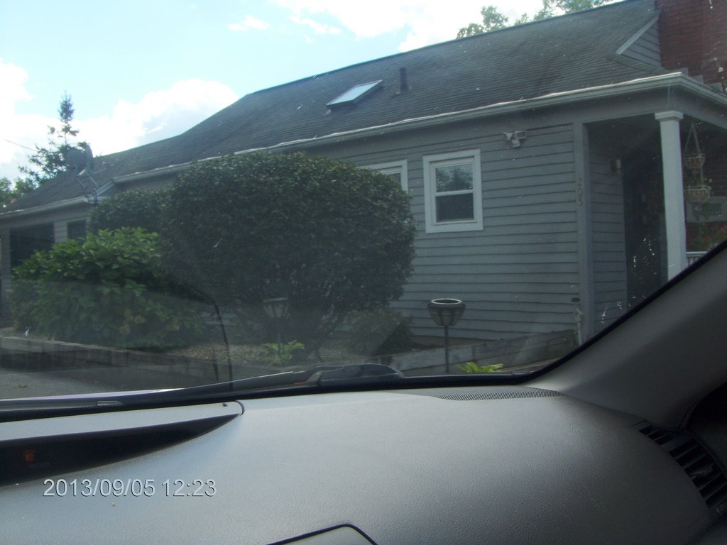
So itĺs off to Auburn; the hotel is booked, and we think weĺve stayed there before. Turns out we havenĺt, but allĺs well that ends well.
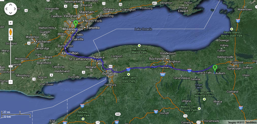
Our plan is to cross the border at Lewiston and head east along I-90 until the exit for Weedsport, then drop due south on Highway 34 to Auburn; a quick trip.
To speed things along I have made a picnic lunch (a.k.a. emptying the Ĺfridge of leftovers) and we sit on a coat on the grass outside a service centre, with our backs to the trucking traffic.
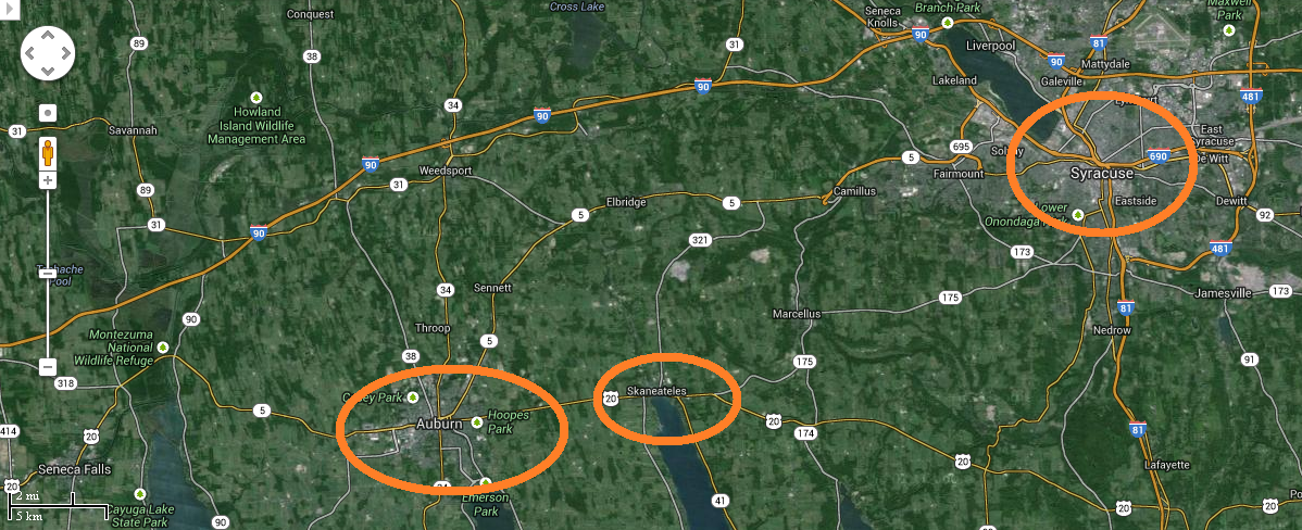
We were told, by a waitress at The Old Erie restaurant in Weedsport, that Skaneateles was the prettiest town in the state, or the USA, or the whole wide world. The Old Erie Restaurant is in Weedsport, at most twenty miles from Skaneateles. Form your own opinion.
We also want to take a peek at Syracuse to see if it warrants a full-day tour. (It does!)
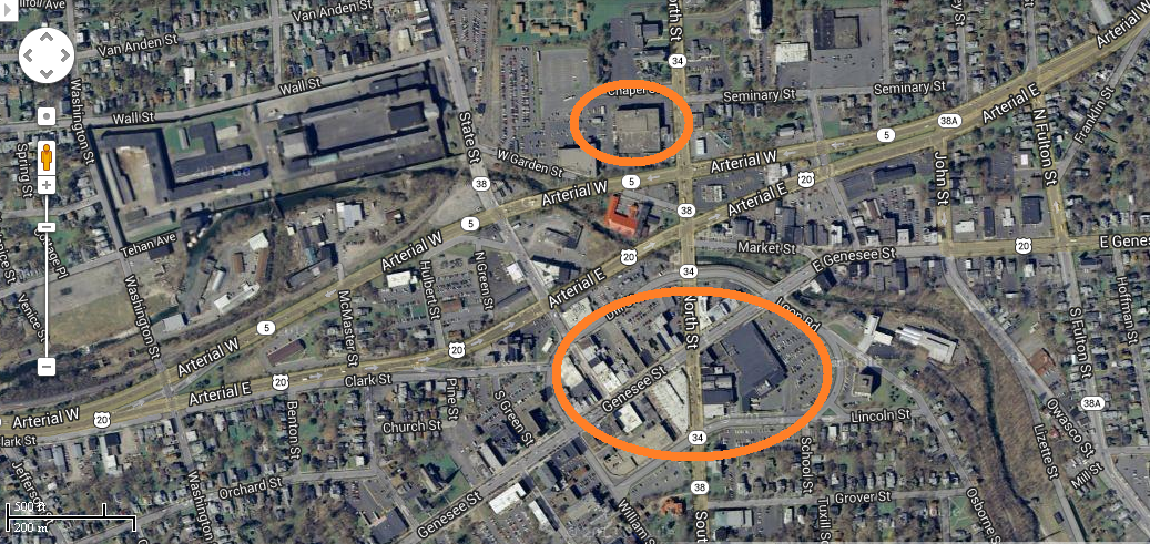
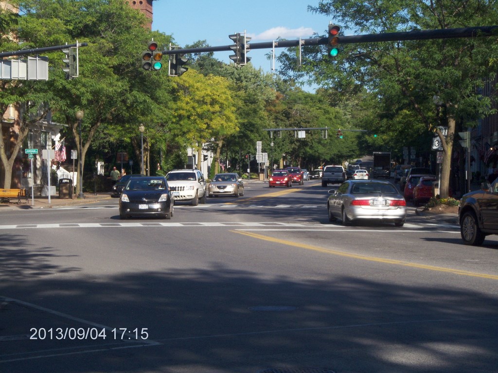
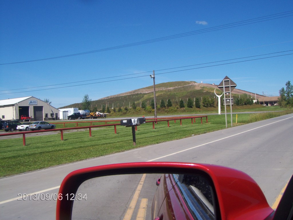
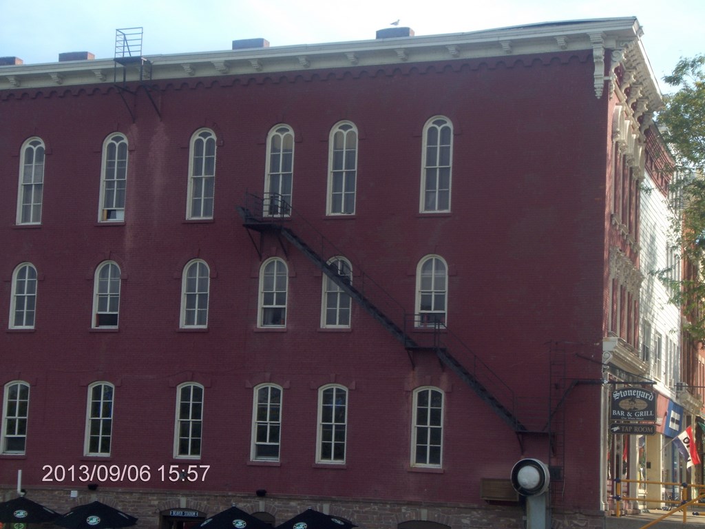
Here is downtown Auburn. We drove in from Weedsport to the north, southwards along Highway 34, swept past the Holiday Inn and whoosh! We were rats-in-a-maze in the one-way loops and eddies of Auburn. I thought I got us back on the right track rather quickly, but we were on Highway 38 north, State Street, which runs past the Auburn Gaol and places we didnĺt recognize after our entry only ten minutes earlier.
So I headed west on Arterial West, but was obviously heading away from downtown, so South down Veterans Memorial Parkway to Genesee Street (as it turns out) and back downtown. Thereĺs a Wegmans (whoosh!). Odd. Donĺt recall seeing that on our first pass; like the Gaol it sprang fully-formed from the earth not ten minutes ago, like a Creationistĺs Dream.
There were a pair of oddly-shaped traffic islands in all this somewhere, but Iĺm not game to go back and check them out.
Whoosh! Past the Hess gas station and our hotel; traffic thundering downhill on Highway 34, so we headed north, out of town until it was safe to turn around, then we trickled back in the right-hand lane and found sanctuary.
We checked into the hotel around 3:30 p.m., dropped our bags, and hopped back in the car to check out Skaneateles before the sun set.
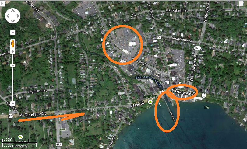
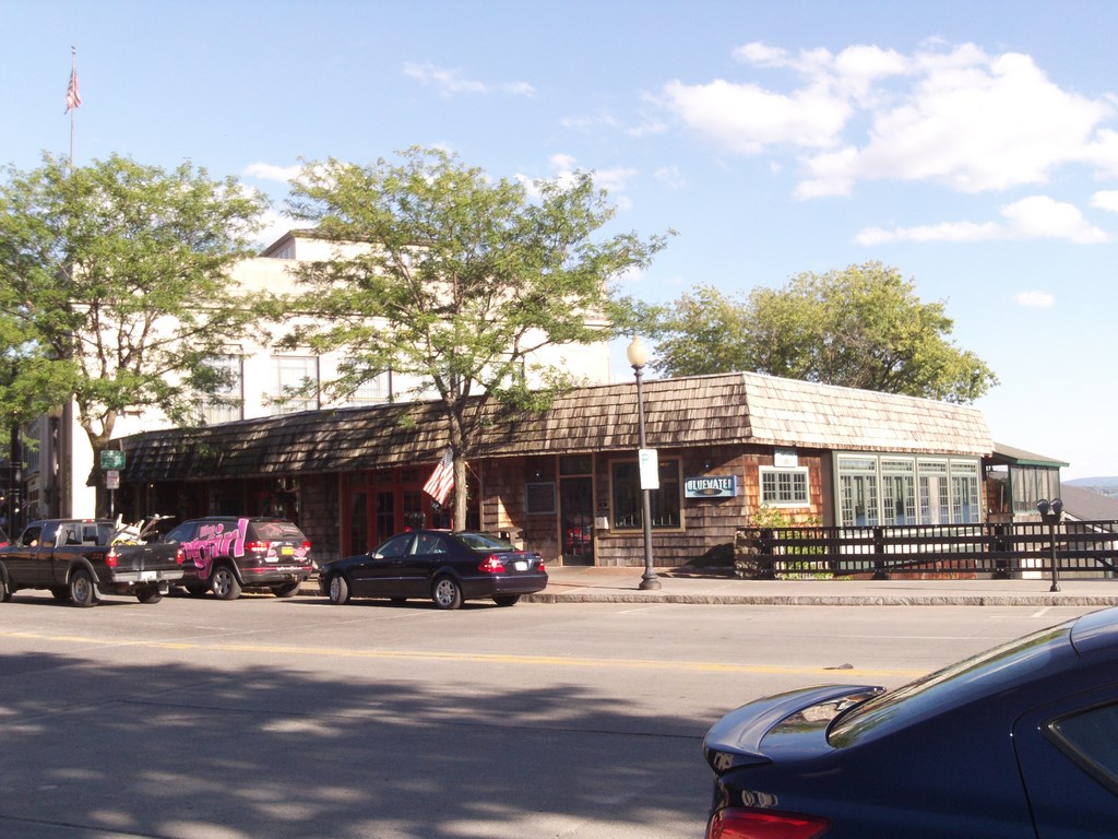
We cruised the little mall in the car; keep moving folks; nothing to see here. Then we parked near the corner of Jordan street and Genesee. Genesee is one of the main streets of Auburn, and doubles as Highway 20 on its run between Auburn and Skaneateles. As such it is populated by Big Trucks.
The main street has some rather nice shops ľ furs, handbags and real estate ľ which, happily for me, were all closed by the time we began our stroll.
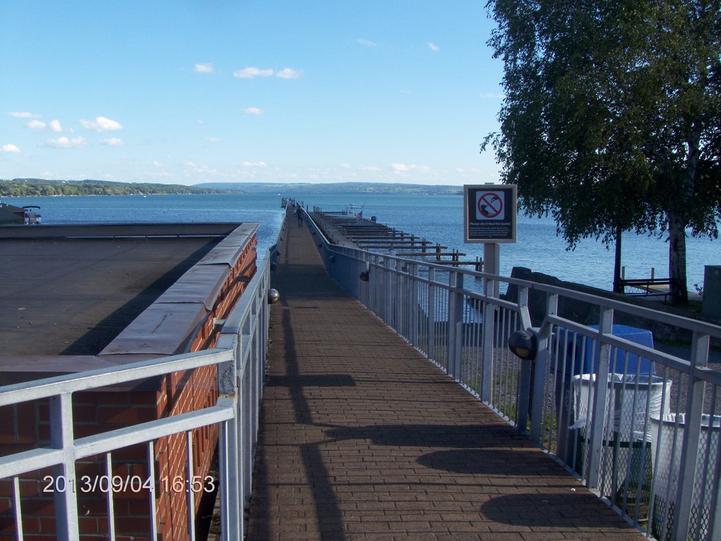
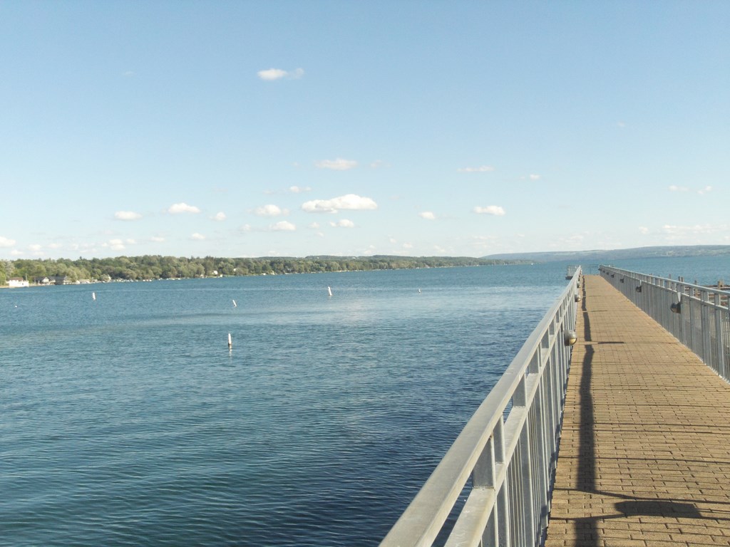
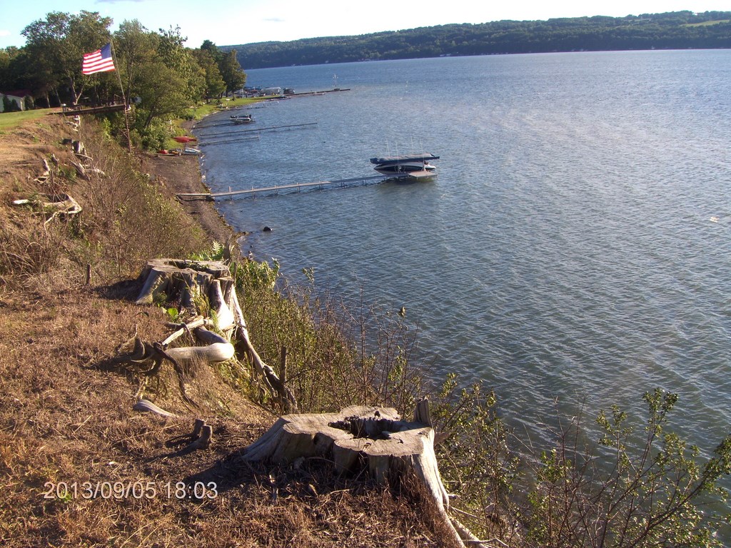
Hereĺs a view along the dock that juts southward from the northern-most point on the lake.
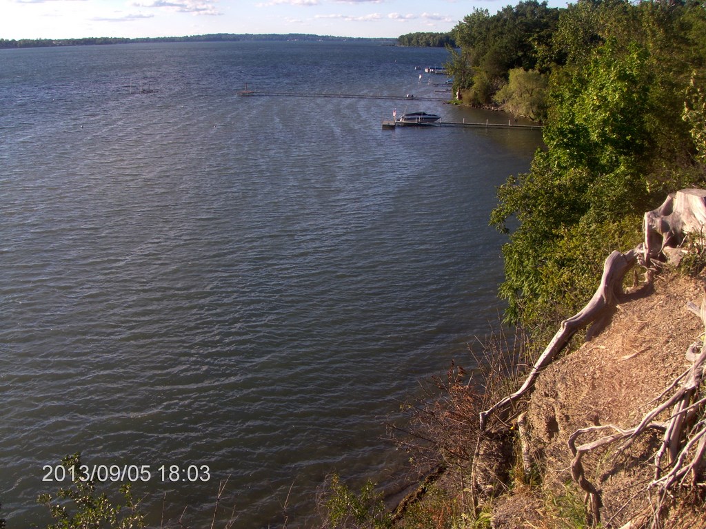
Same dock, but a zoom view trying to show the western bank of the lake.
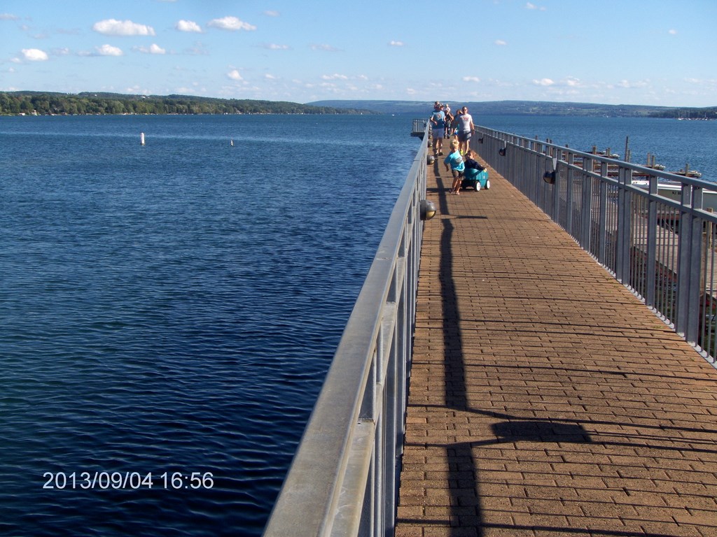
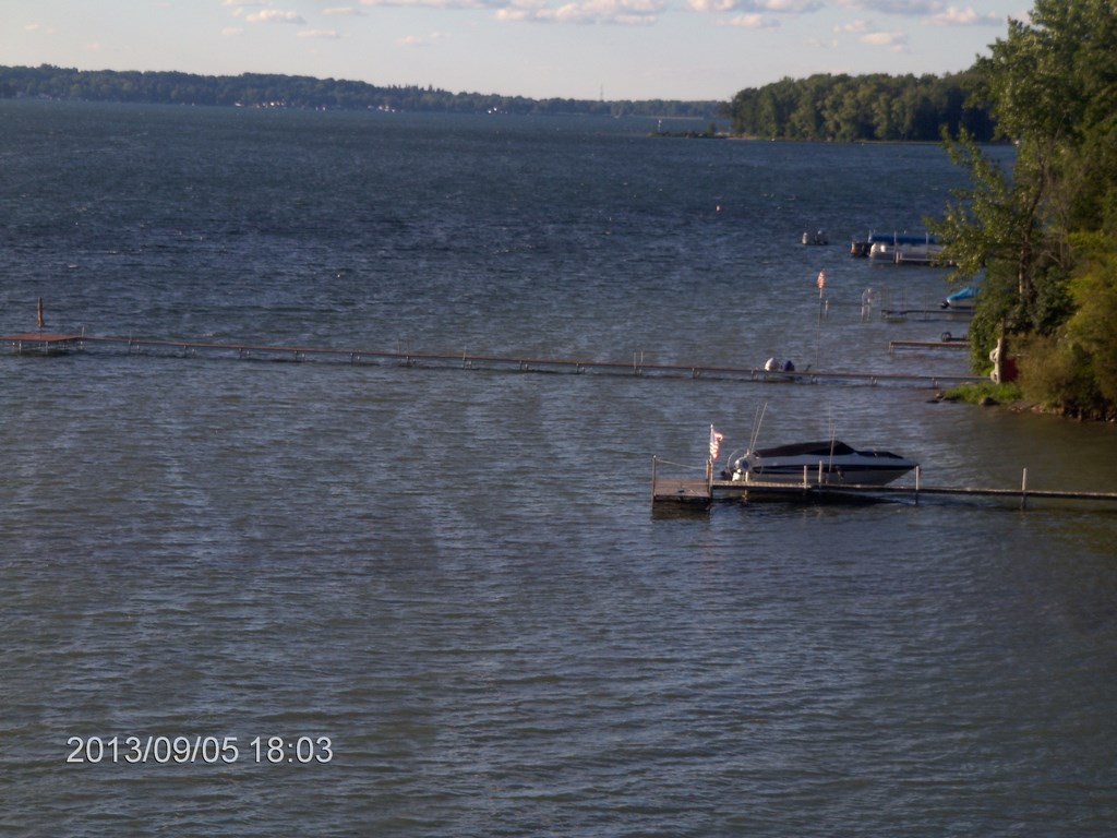
Same dock, another zoom. Ignore the families having a good time. The youngster is earning an ice-cream by towing his two siblings in a cart. I wish my dad had been so understanding.
In the background is part of the eastern bank, but mainly the western bank as it makes its way south.
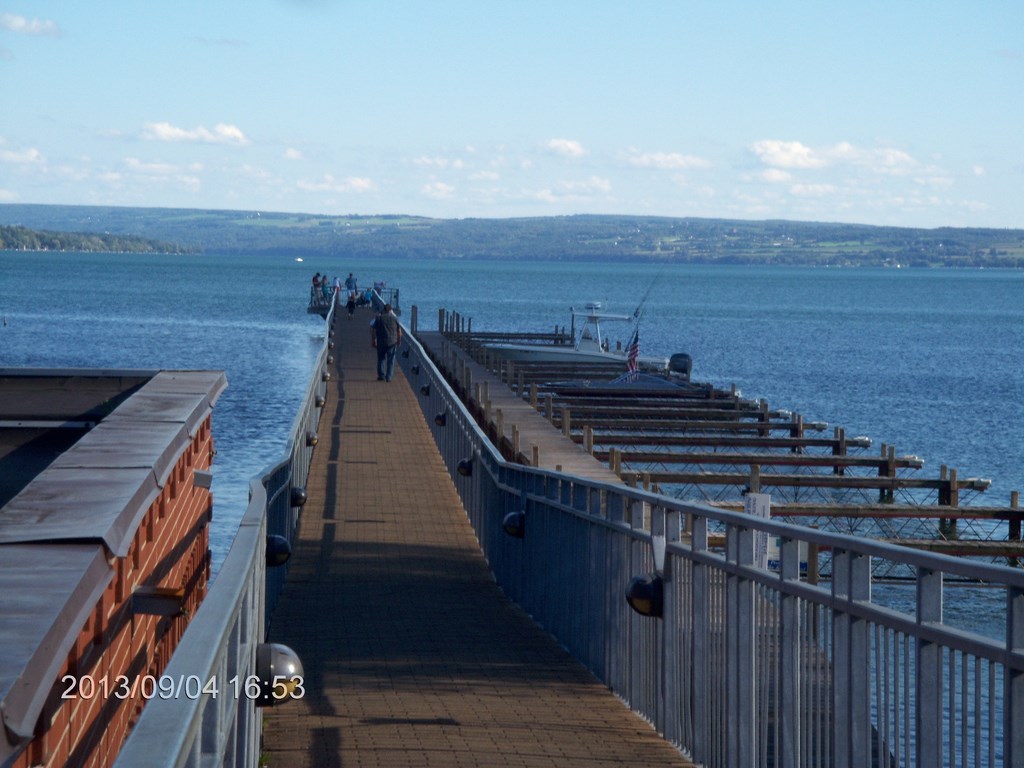
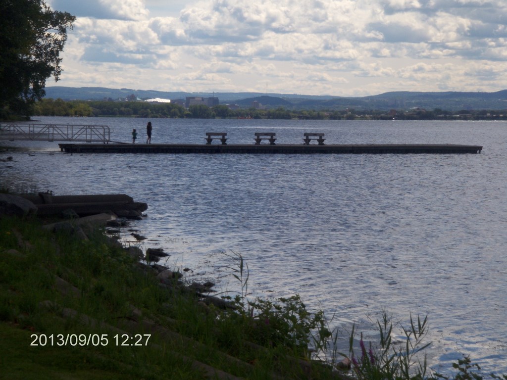
Here we are in Skaneateles, standing on the pier-cum-dock. The church has an ideal setting for The Annual Picnic.
Hereĺs a view along the pier looking south into Lake Skaneateles. A brochure says that Lake Skaneateles is one of the most beautiful lakes in the world; but there again if I were writing about Southern Cross in Western Australia Iĺd say the same thing about Lake Seabrook.
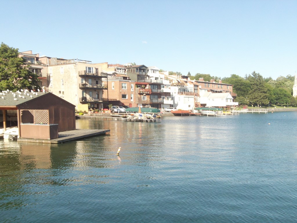
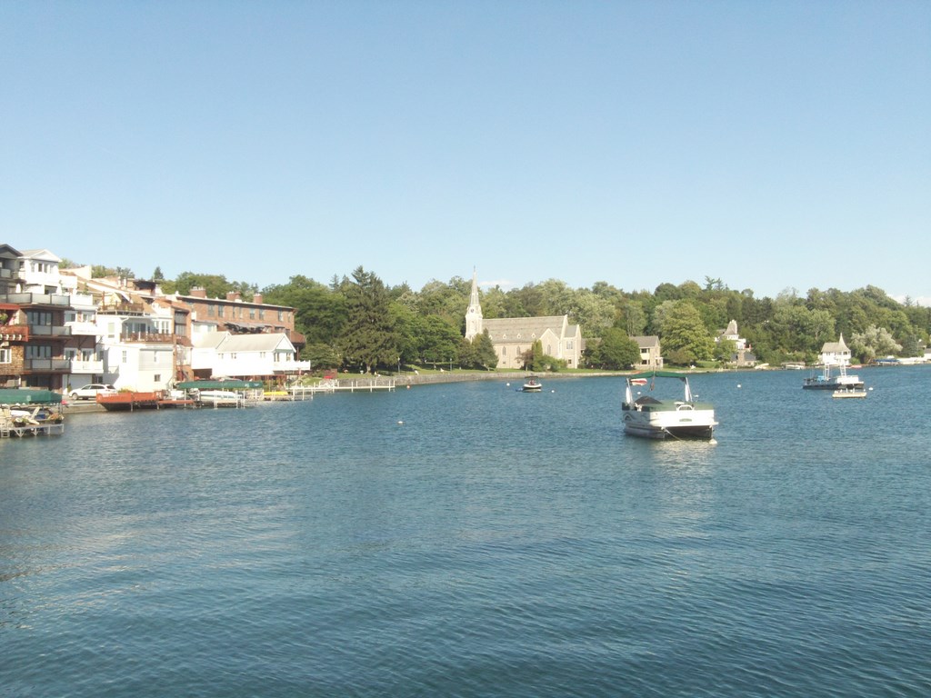
Hereĺs a view to the left (west) of the church. The buildings appear to be converted to apartments, each with its balcony overlooking the lake.
Another shot of town; this time I think looking north over the bridge that carries Highway 20 through town. Highway 20 is one of the primary arteries that span New York State in an east-west traverse.
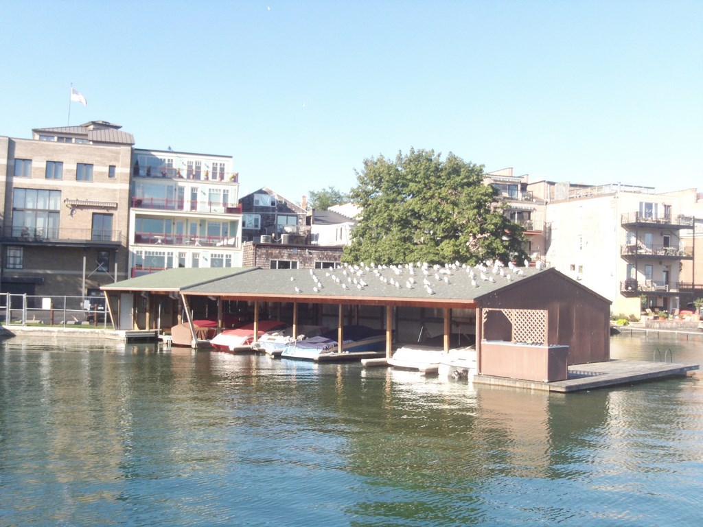
The town is big on apartment buildings with balconies overlooking the water. Also seagulls.
The bridgework would impress any dentist, the tree vegetation is lush, but this accidental shot is here for a different reason. Check out the bit of bench that shows in the lower left-hand corner. Clean, varnished benches are all over town. Skaneateles downtown is littered with benches that are good to sit on while watching the world go by.
And hereĺs the classy restaurant overlooking the lake. We are in the same position, on the bridge for Highway 20, but looking across the street, southwards, down the lake.
Here we are in Skaneateles; a contingency shot. I donĺt know why; this isnĺt a moon-walk.
We are just east of the main intersection. There are two eateries to the left of the photo in that three-storey building.
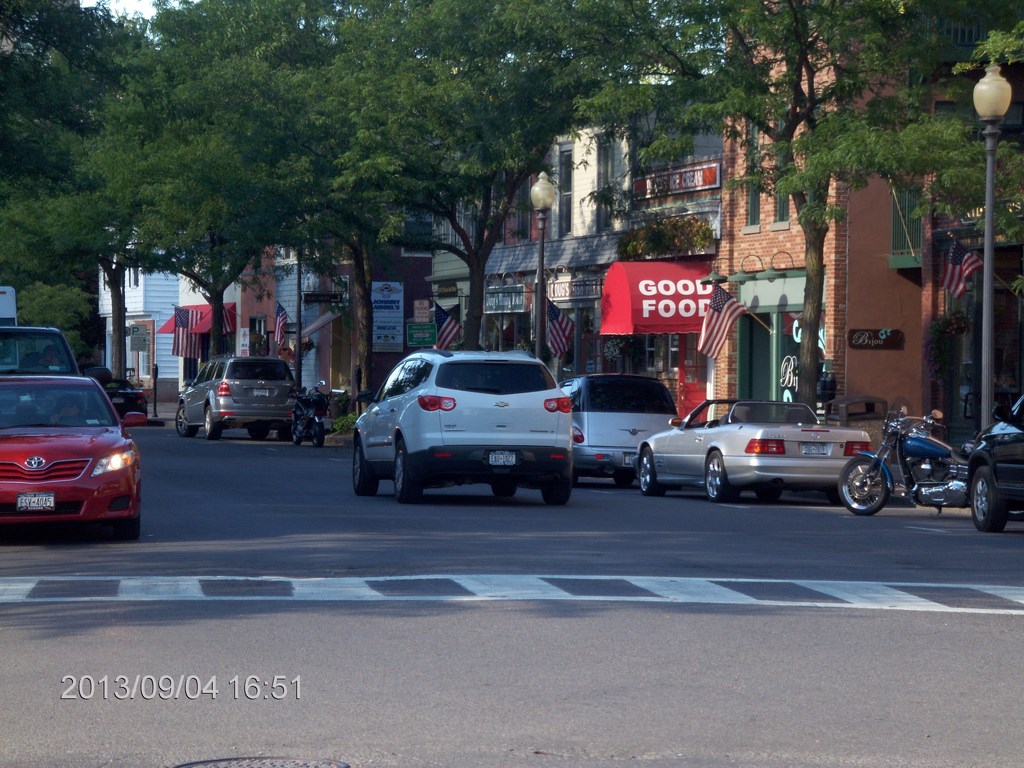
Hereĺs a view up the intersection from Highway 20. Now where would YOU go to get Good food? What a concept for an awning.
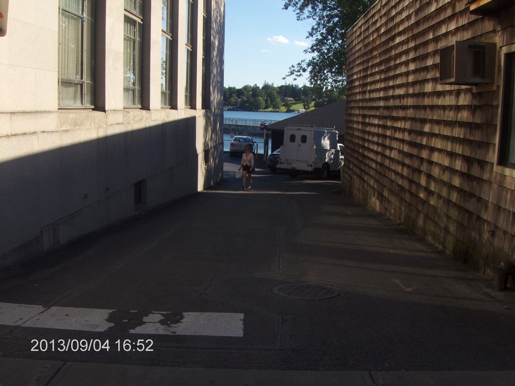
Little alleys drop down to the lake every chance they get.
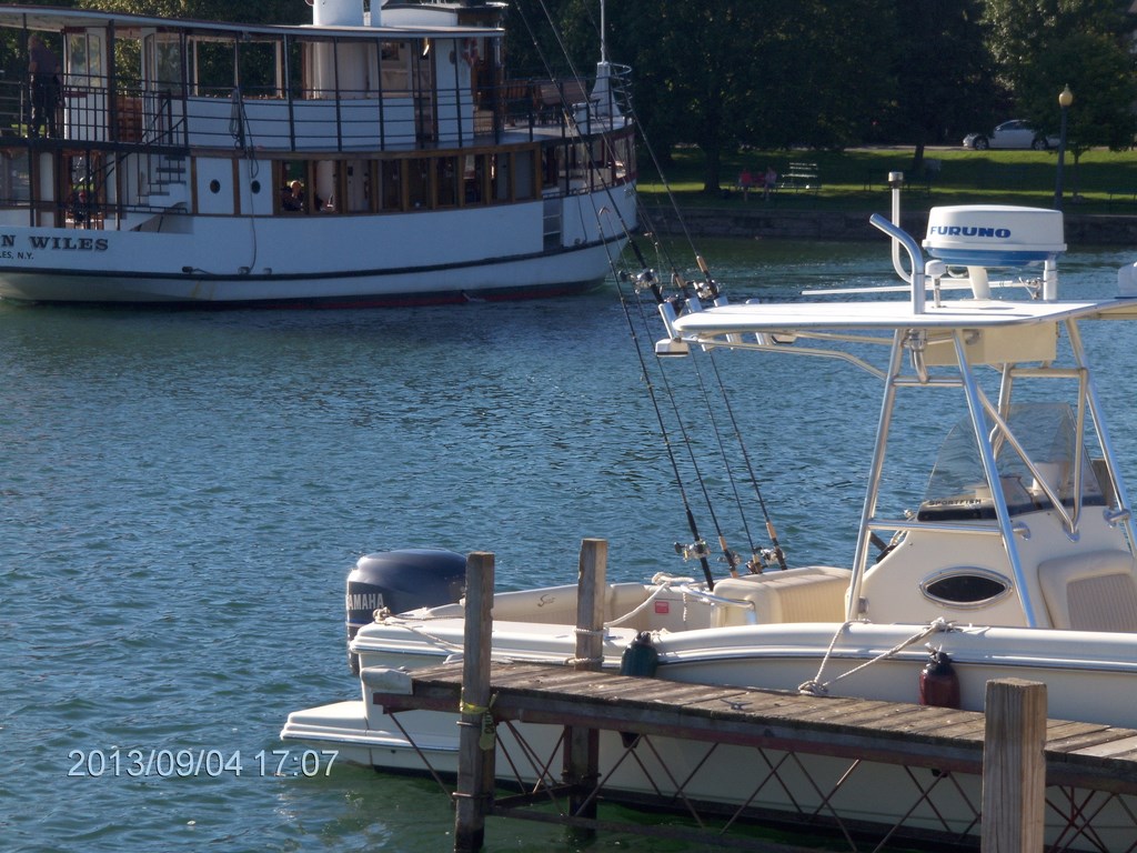
The little ferry Judge Wiles pushes away from its mooring to begin its cruise around the northern end of the lake.
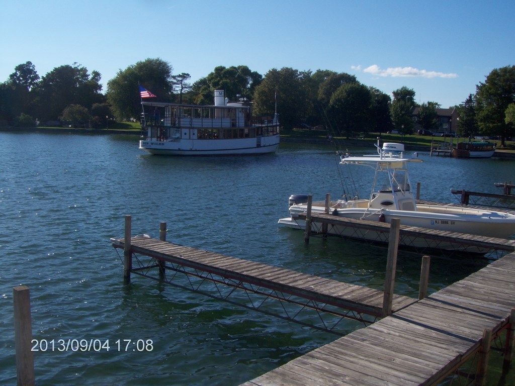
Brave little ferry, only about a dozen passengers.
Brave little passengers, each paying $50 for a four-hour cruise that involves food prepared on shore and kept warm on board until they push off and dine.
This is a view from the intersection looking east, the uphill stretch of Highway 20.
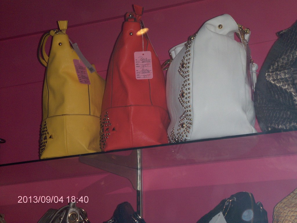
I took this photo through a shop window; Betty wanted to know the price of the orange bag. As if she hadnĺt enough bags! Hah! The shop is closed. There is a God!
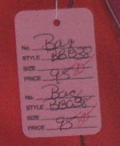
I did this in Microsoft Paint to show you what it looked like when I zoomed the camera shot in playback mode outside the shop. Itĺs easy to read price tags with todayĺs technology.
Memo to self: Must get Betty familiar with simple camera technology!
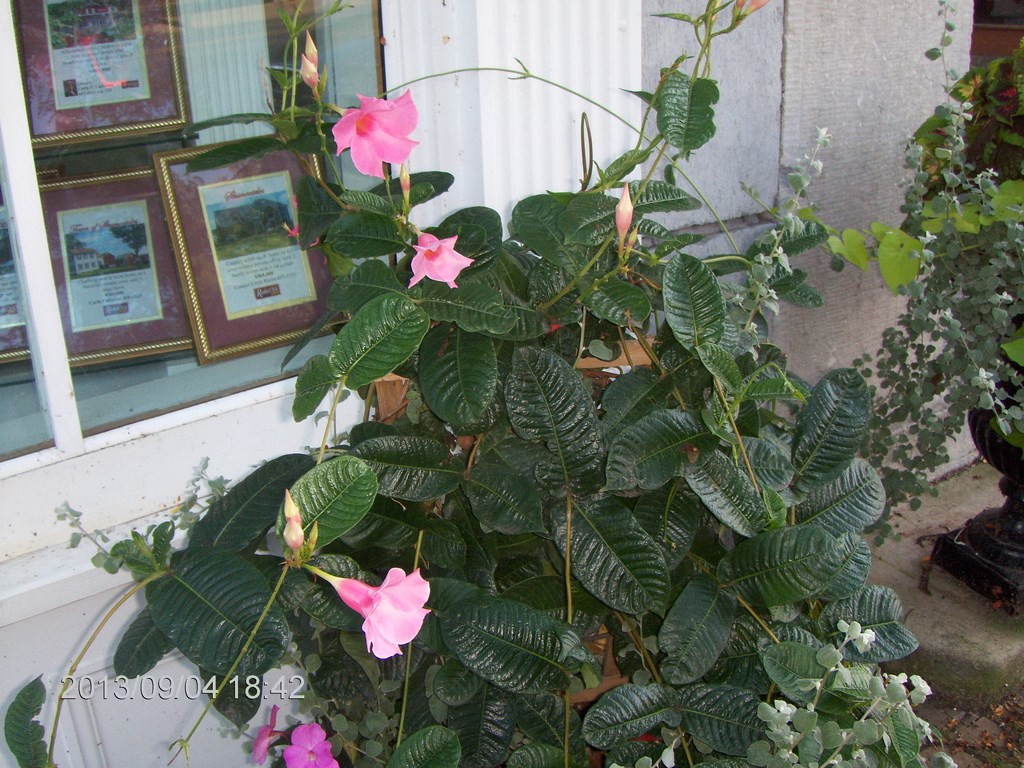
A few minutes later Betty admires a plant; I shove the camera into her hands, and ů Voila!
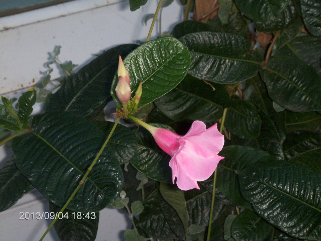
Betty does close-ups in zoom mode.
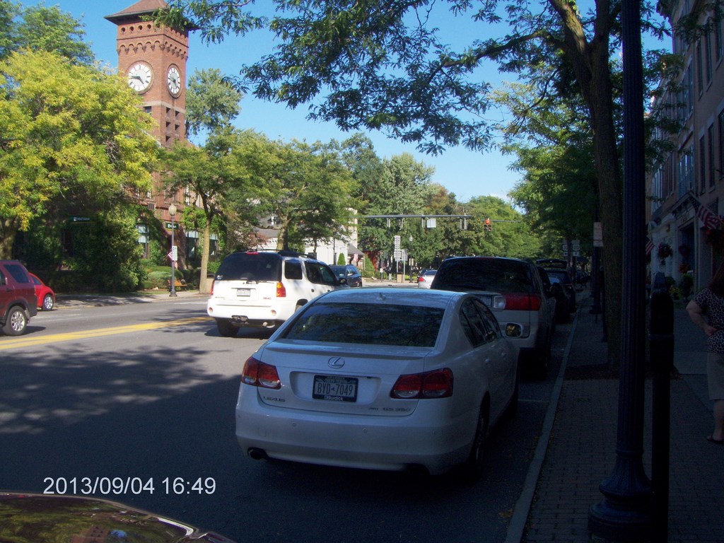
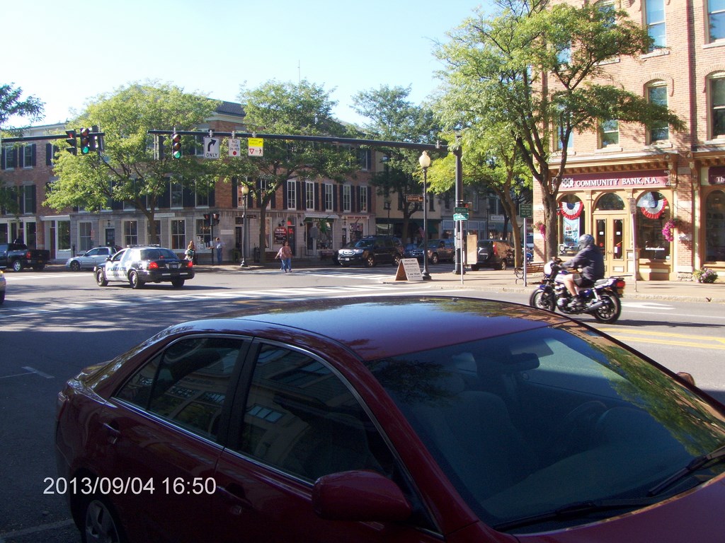
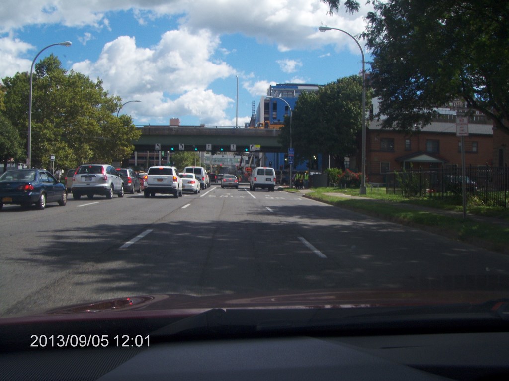
Thursday we drove to Syracuse; not been there before. We drove around the downtown core (OK, we got thrown by the one-way streets) and checked out Liverpool. Iĺd certainly return to stroll downtown for a day.
We arrived from the west along Highway 5 from Skaneateles, deked up 695 past the State Fairgrounds, then zoomed straight through town on the 690 until Thompson Road where we caught our breath at a Dunkinĺ Donuts. (T-shirts for sale: ôFriends donĺt let friends drink Starbucksö) then we cruised the downtown core before heading out to Liverpool and back. Youĺll see shots taken lakeside of Onandaga Lake.
Betty wanted to see the Destiny Mall, so we drove around it; think Walden Galleria in Buffalo. Then weĺd had enough. Iĺm not sure whether Betty would spend a day at Destiny; I know that Iĺd happily walk around the downtown core for a day, so weĺll be back!
Highway 690 took us to I-90 (natch!) and west to Weedsport for lunch.
Here is what we saw as we escaped from the downtown core, about to head eastwards past the Hospital for Sick Kids and then the University On The Hill.
Out at Liverpool, a suburb north-west of Syracuse, we drove along the east shore of lake and came across an alley with cottage-like houses.
Most of them looked both neat and quaint. The town of Liverpool reminded us of Unionville, but more open in structure.
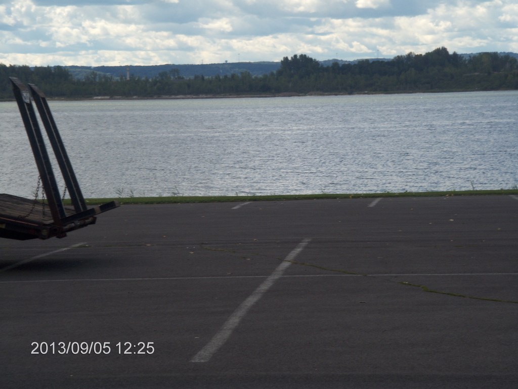
We parked alongside the lake; a walking trail (foot-on-the-ground only!) runs behind us, but a large portion of the area was closed with construction vehicles, dump-trucks and the like.
Hereĺs a view southwards down-lake. Thatĺs a sports dome in the distance. I believe the downtown core is out of sight to the left of the photo.
We returned by a 30+minute hike along The Big Road (I-90) and stopped in Weedsport for another meal at The Old Erie.
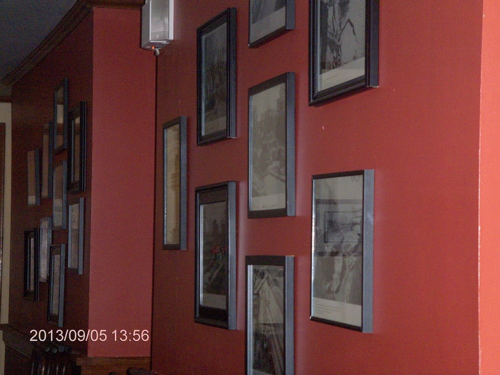
The walls in the dining room have an array of photos of the good-old-days when canal work ruled.
The chef has won awards, and it shows in the meals.
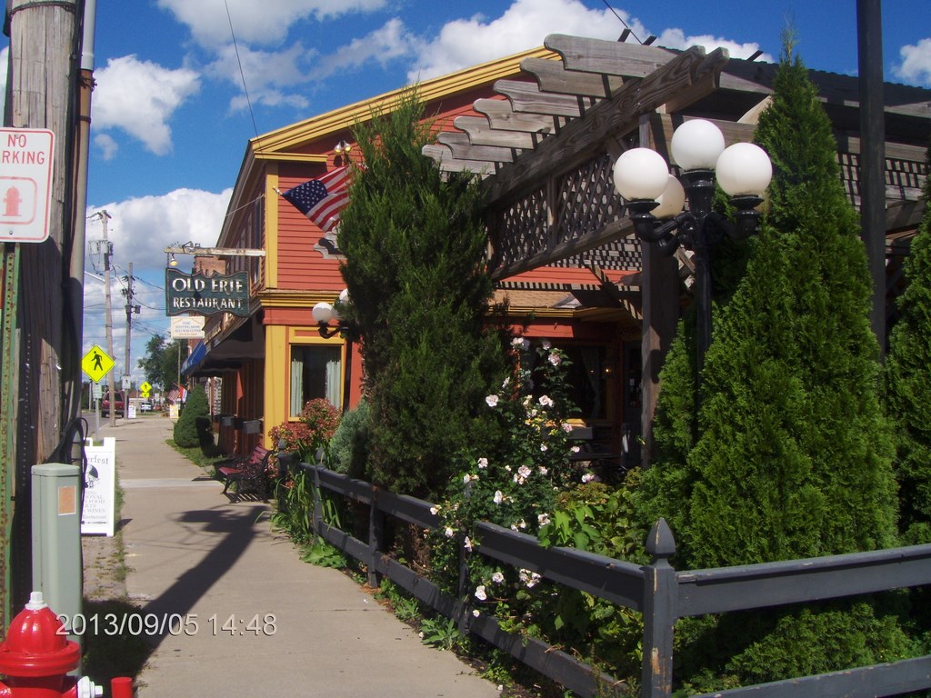
Hereĺs a view of The Old Erie Restaurant; it sits on the eastern side of the street; this view looks back to the I-90 a mile or so away.
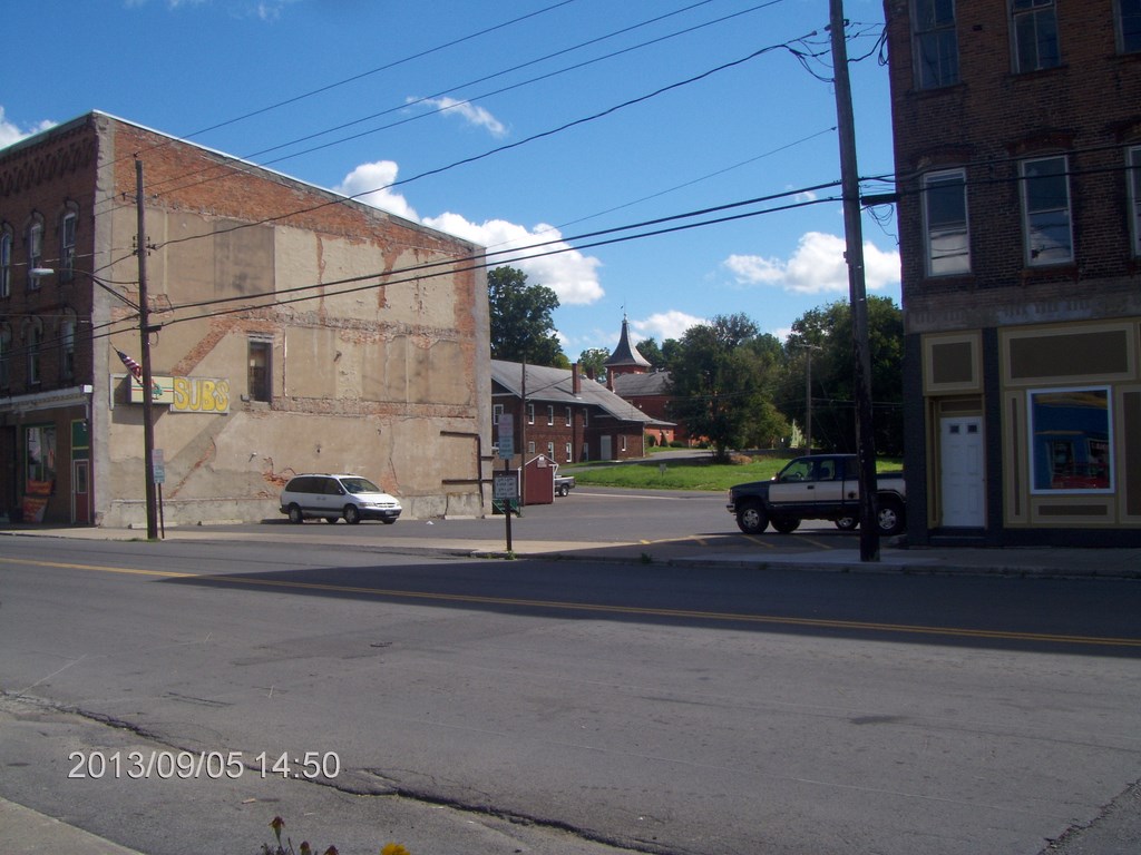
Across the street, through one of the gaps in the non-development of town, the church peeks through the trees.
The main street is quiet; my guess is that businesses collapsed one the big-box stores opened up in Auburn, just eight miles south of here.
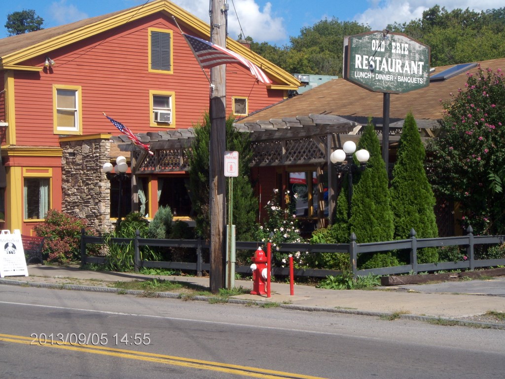
Ah! At last! A better view of The Old Erie Restaurant.
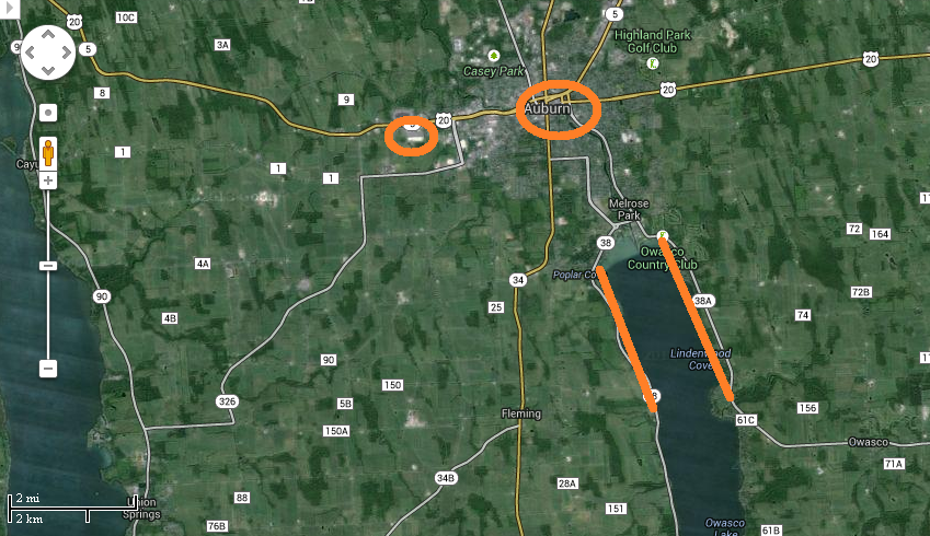
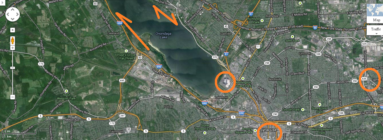
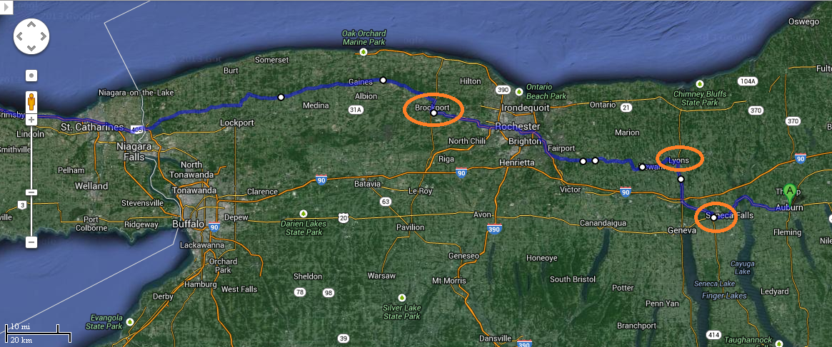
And so to Auburn. I have marked the sides of Owasco Lake, and rough idea of the location of the box stores we visited. Also the heart of downtown Auburn.
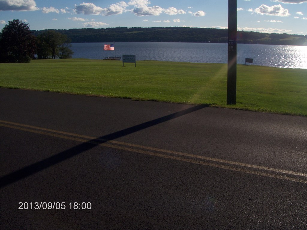
Late afternoon saw us back in Auburn; we decided to drive along both sides of the lake.
We decided to stop and check out a piece of land for sale. Forty Acres, the sign said, although I estimate it closer to ten acres. It has a great view of the lake.
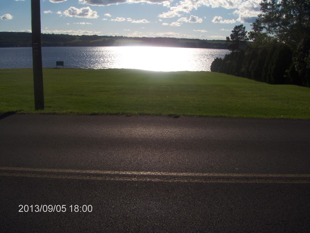
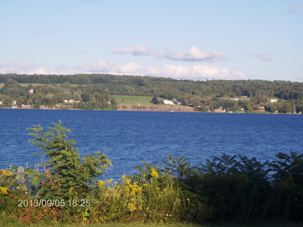
Hereĺs a view to the right of the previous shot. The late afternoon sun shines across the lake.
We walked to the lake edge of the property; there is a drop of about twenty feet to the water level. The folks next door have a tiny beach and a dock.
The folks on the northern side have a dock. No dock here.
A zoom view; I think that part of Auburn is visible in the distance.
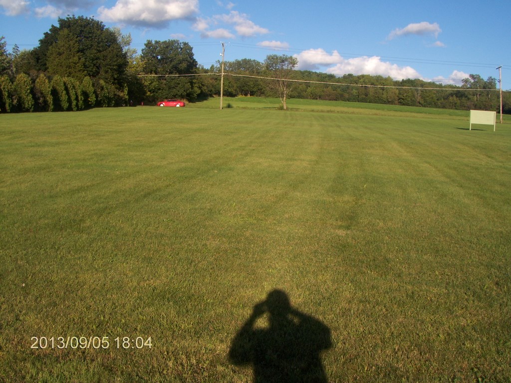
And here is a not-so-rare photo of my shadow with Bettyĺs car in the distance. Perhaps the forty acres includes the land on the eastern or uphill side of the road?
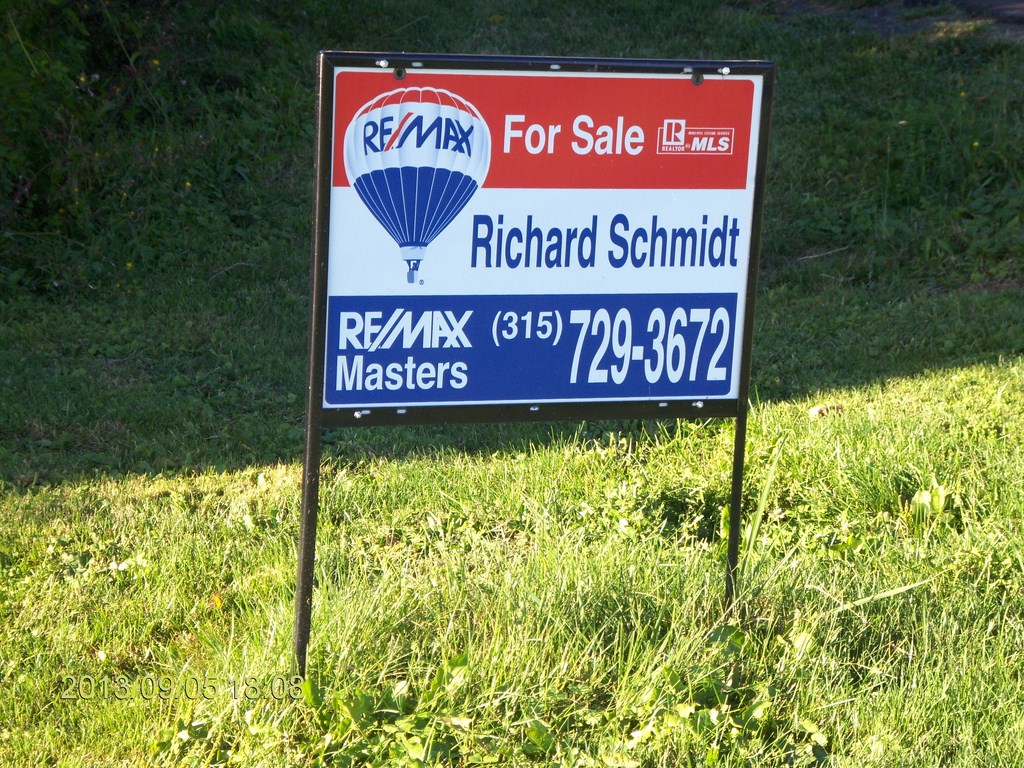
Whatever; I might question Richard about the quantity.
Then we drove along the western end of the lake and caught a sight of the property on the eastern bank!
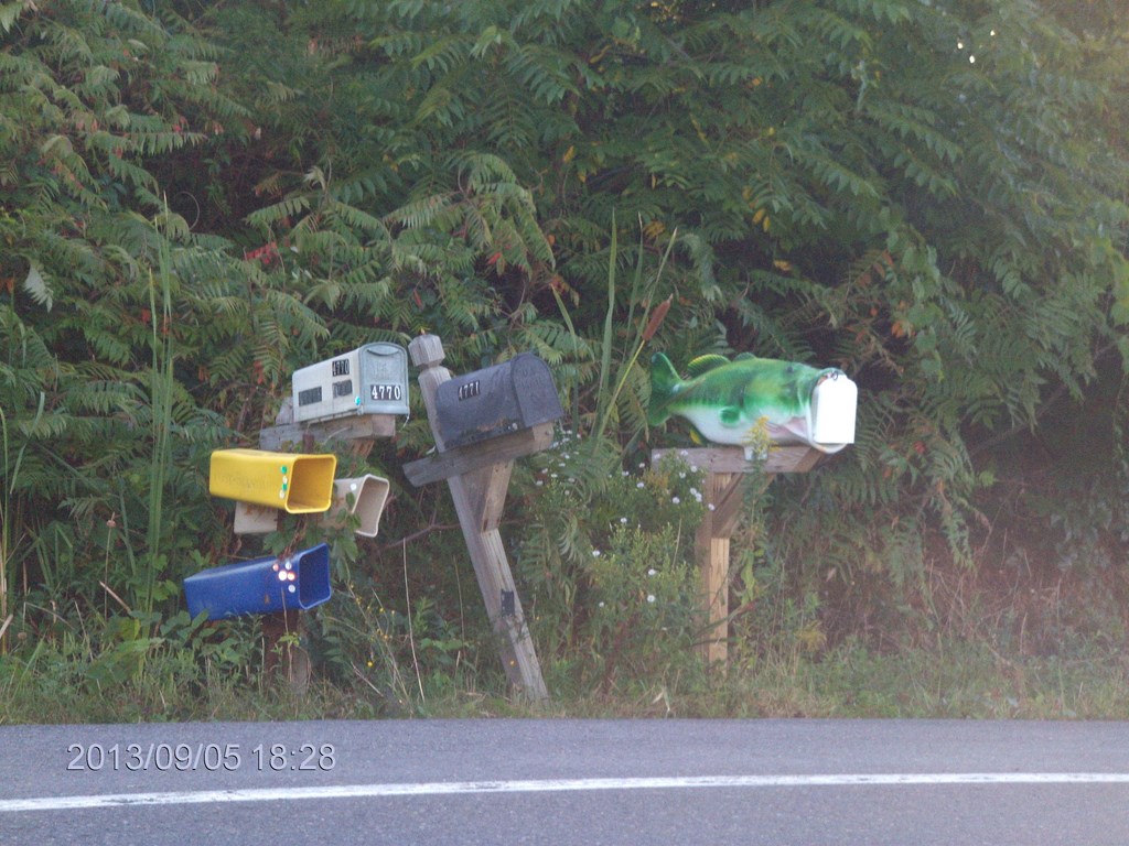
Driving back, Betty spotted a fish-shaped letter box; quite a few of them dotted the road side. Must have been all the rage back then ů
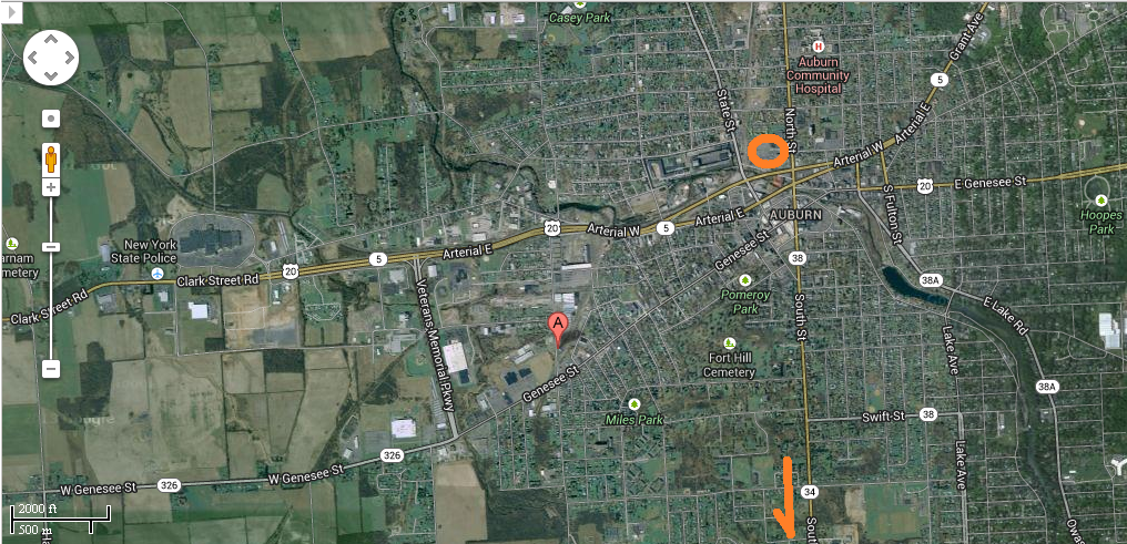
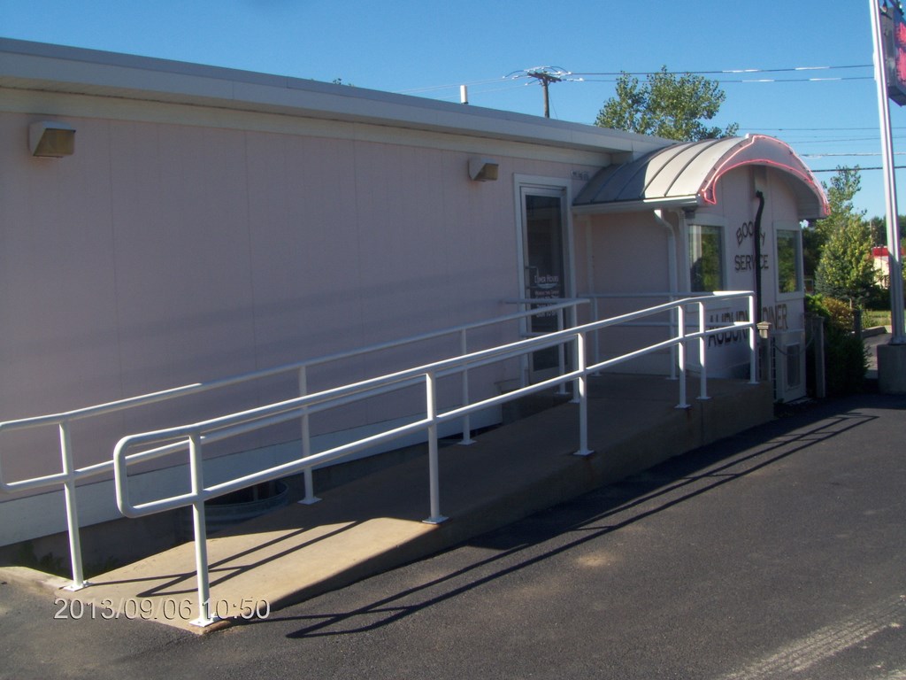
Next morning we took in breakfast at The Auburn Diner, marked with Googleĺs get Directions as ôAö. Our hotel is circled and Iĺve arrowed the route to the Owasco Lake
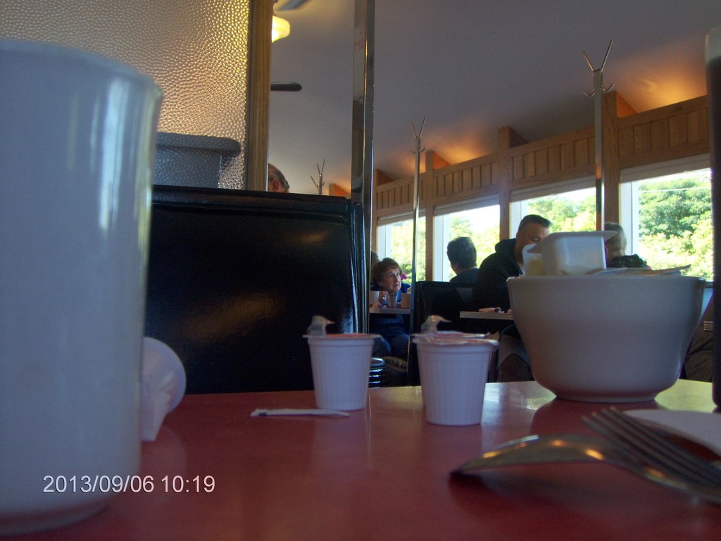
Hereĺs The Auburn Diner. Here I am practicing a table-shot without flash so as not to alarm other people.
I had ordered The Big Breakfast which, it turns out, is big enough to deserve two plates. I had trouble finishing the first plate.
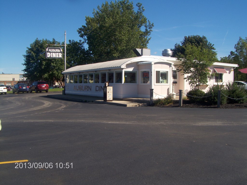
Hereĺs a view of The Auburn Diner from the front.
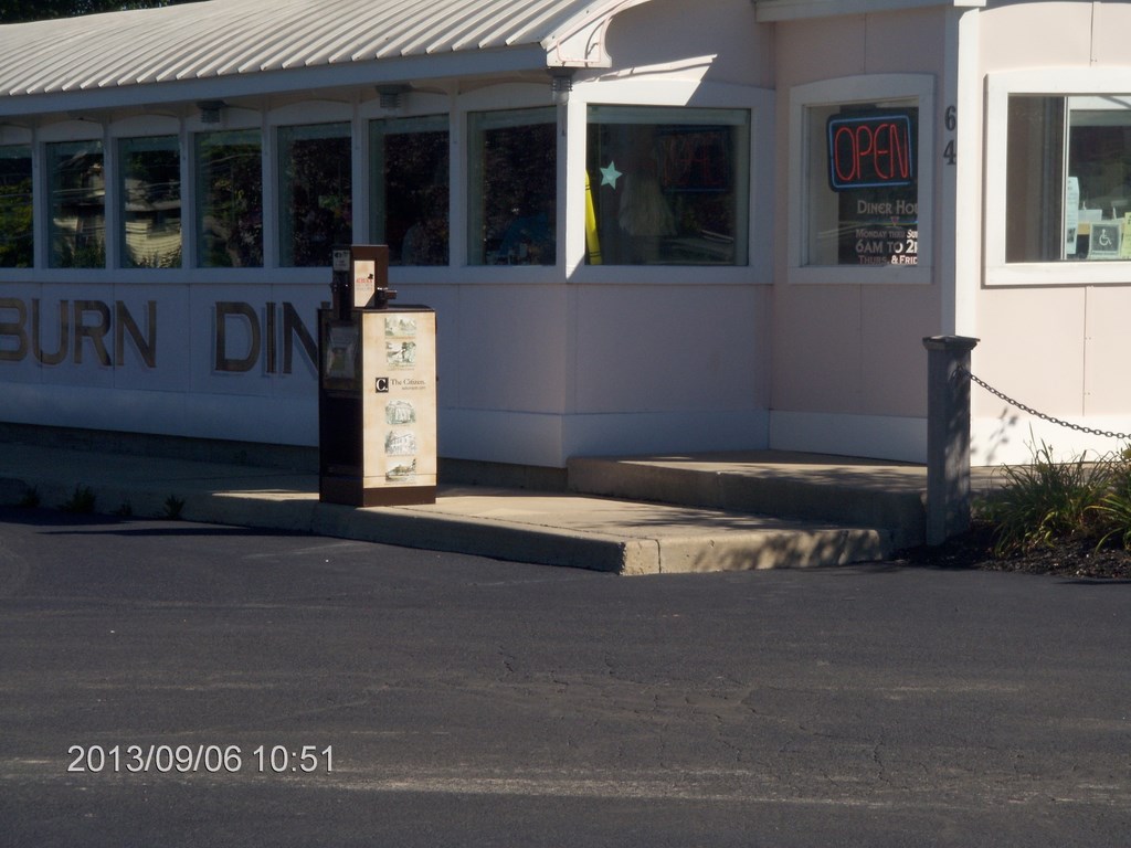
And a close up. Good food; clean premises, friendly service. Iĺll be back!
And so home, or at least, head-for. Our planned route was west along Highway 20 to Waterloo, then north to Highway 31 with a many-stop toddle along Highway 31 until we reached Buffalo or Niagara. In the end we grabbed Highway 104 which took us straight to Lewiston and the border crossing.
I had gotten confused; thinking we had stayed before in Auburn. We hadnĺt. But on a hunch we drove back through Seneca falls and Waterloo.
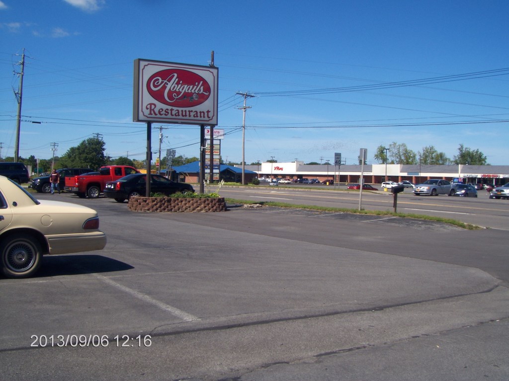
We had stayed in Waterloo some years ago and took supper at Abigailĺs. As we drove along I predicted weĺd see the windmill at the visitor information centre, followed by the restaurant. Itĺs good to know that my memory isnĺt shot!
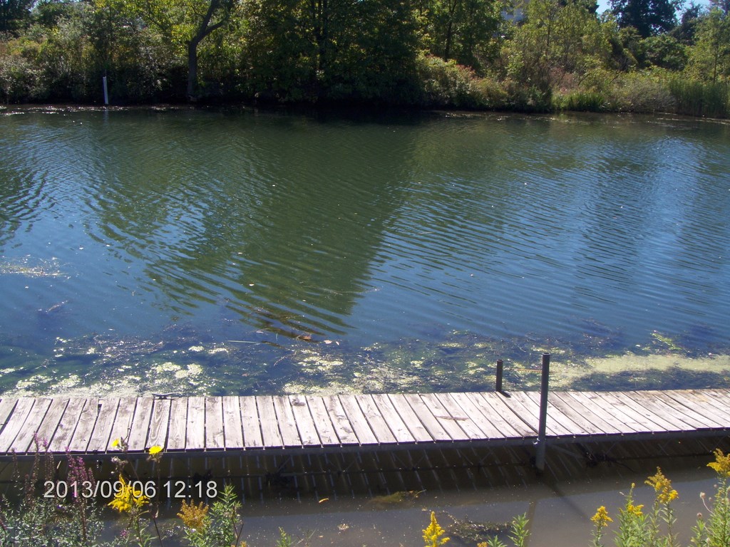
We had had supper on the patio out back, and strolled down to the canal with our dessert. Here is the little dock at the foot of the back lawn.
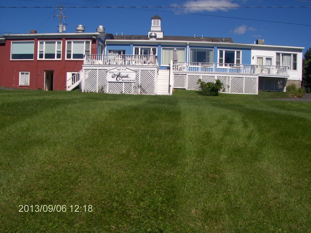
And here is a view of the back patio, where we had had dinner some years ago.
Then it was time to get serious, so we hooked north to cross the I-90 and reach Highway 31. This is a shot of a ski-hill, I guess, a bit like Centennial Park , being built out of garbage.
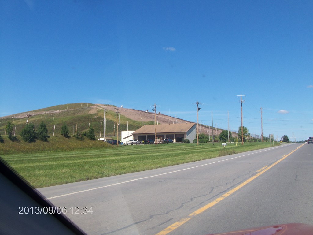
Iĺm taking a small risk here. No other traffic is around, and Iĺm just point-and-click-and-hope-ing.
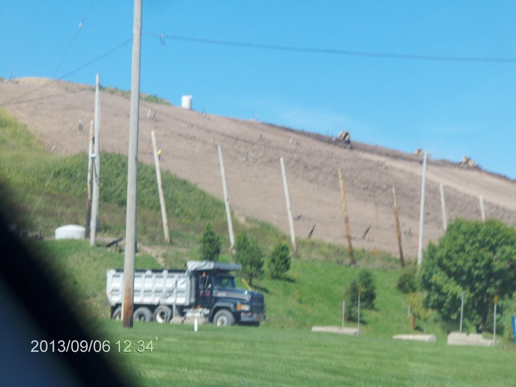
A zoom shot; the dump truck has dumped its load. The team of bulldozers is spreading soil cover over the pile.
The ôhop polesö hold netting to reduce wind-blown debris.
A line of vent pipes can be seen running across the face, to the left of and below the bulldozers.
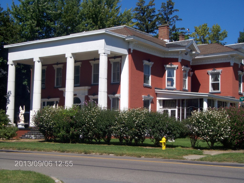
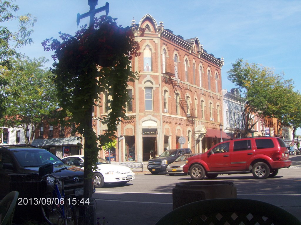
We drove through several towns, Lyons, Palmyra and so on. Here is one of the grander houses, now a Bed And Breakfast.
I got us screwed around with Highway 31 and found myself in the heart of downtown Rochester, where I didnĺt want to be. A slew of expressways, 490 and 531 amongst them got us out of there, and we found ourselves in downtown Brockport.
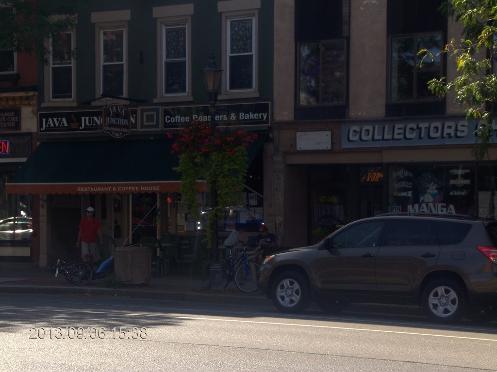
Grabbed a tea and bagel at Java Junction. Great food, great drinks, and you get to listen to the locals banter with the manager. Itĺs worth the hike of the highway to get to the heart of Brockton alongside the canal. Iĺll be back here.
We sat outside Java Junction and marveled at the architecture.
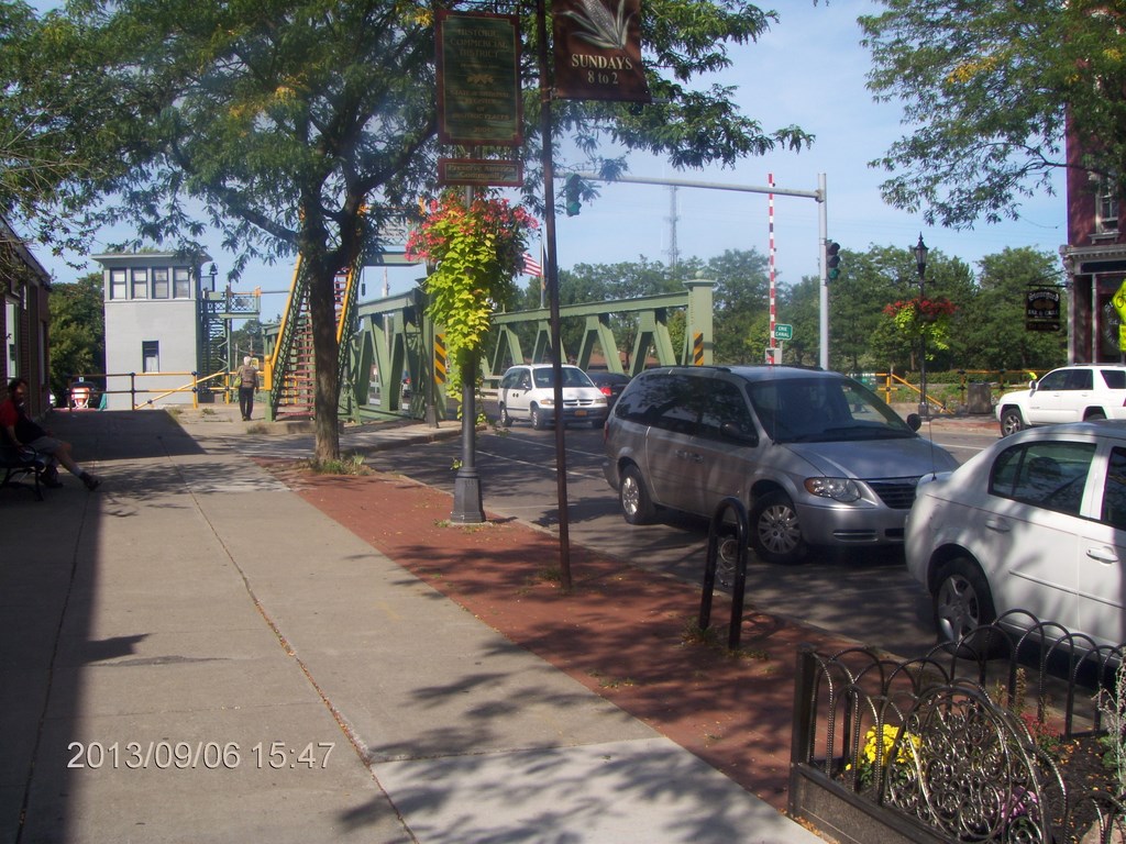
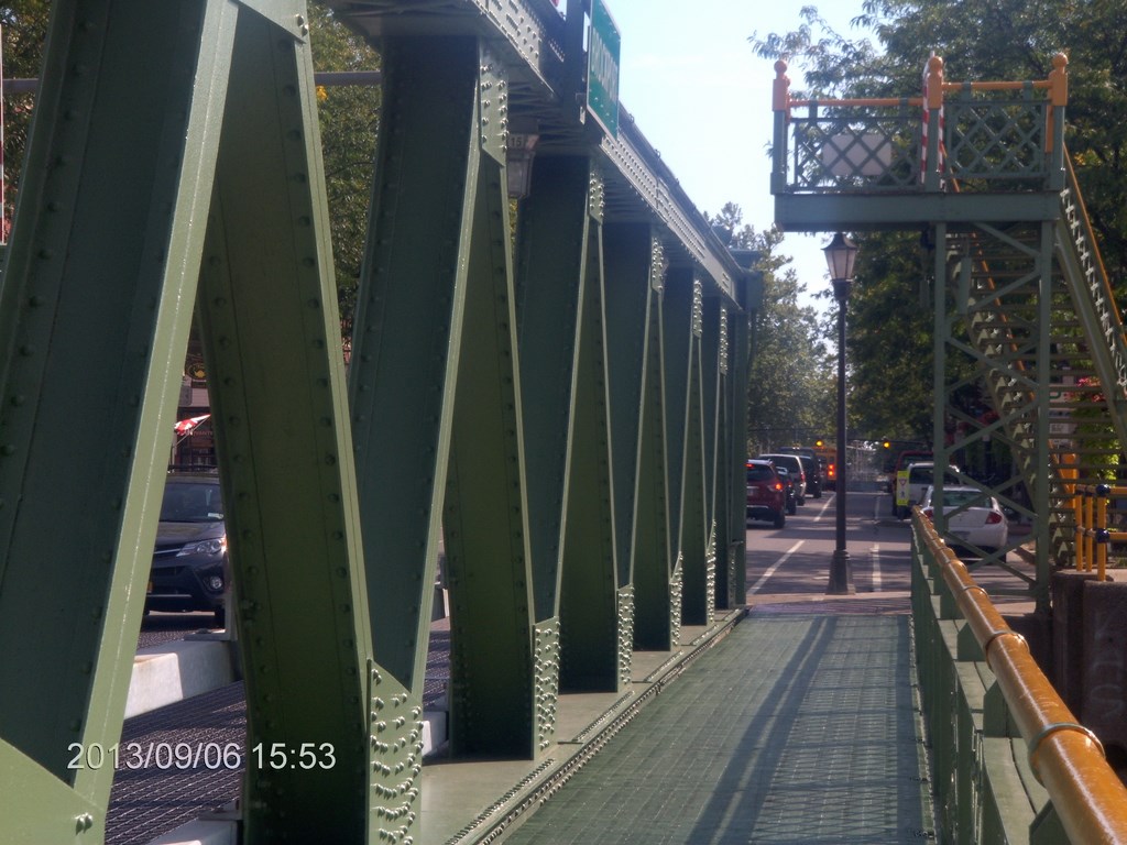
A few yards north of Java Junction is the canal, with several bridges. This is a lift bridge; the entire span rises vertically. Thatĺs the bridge masterĺs cabin on the left.
Note the steel stairs that rise to a platform that goes nowhere.
Wait for it! ů
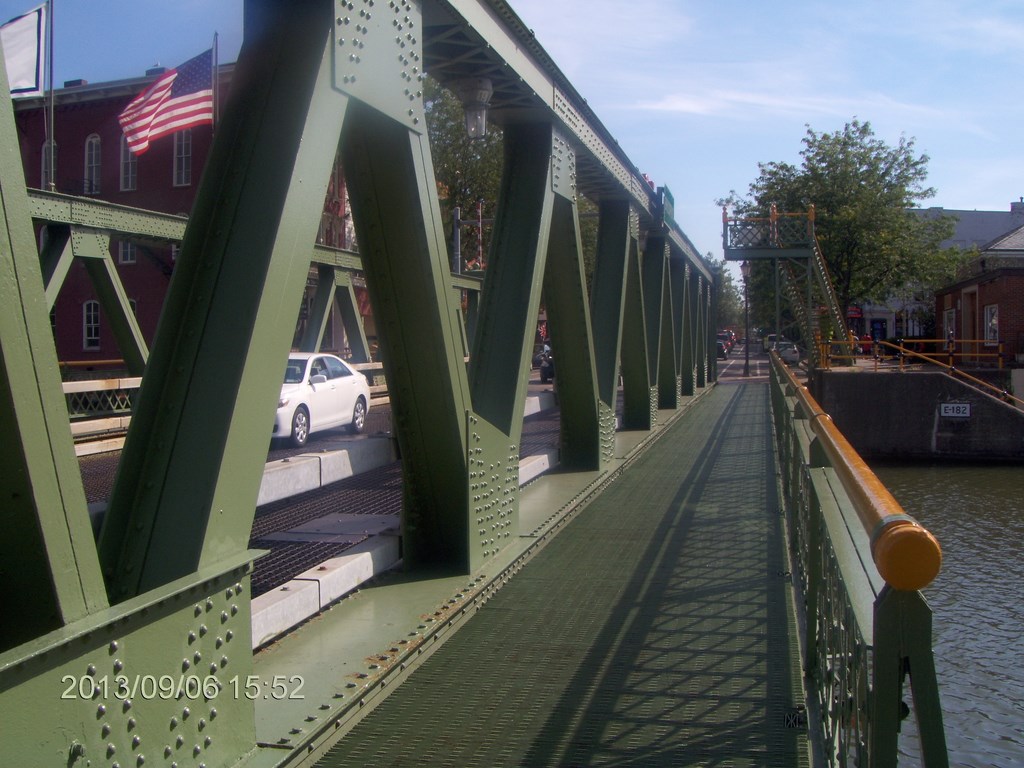
We walked across the bridge and I took a shot of the stairway-to-nowhere.
Here is a zoom shot of the shot of the stairway-to-nowhere.
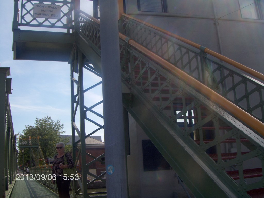
And here is Betty showing the scale of vertical movement in the lift.
When the bridge rises vertically, the ground-level walkway we just covered links the two platforms, so although vehicular traffic is inhibited, pedestrians can stroll across at their leisure, providing they can negotiate the stairs.
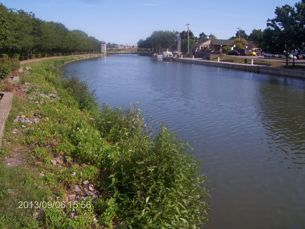
Hereĺs a view eastwards along The Erie Canal.
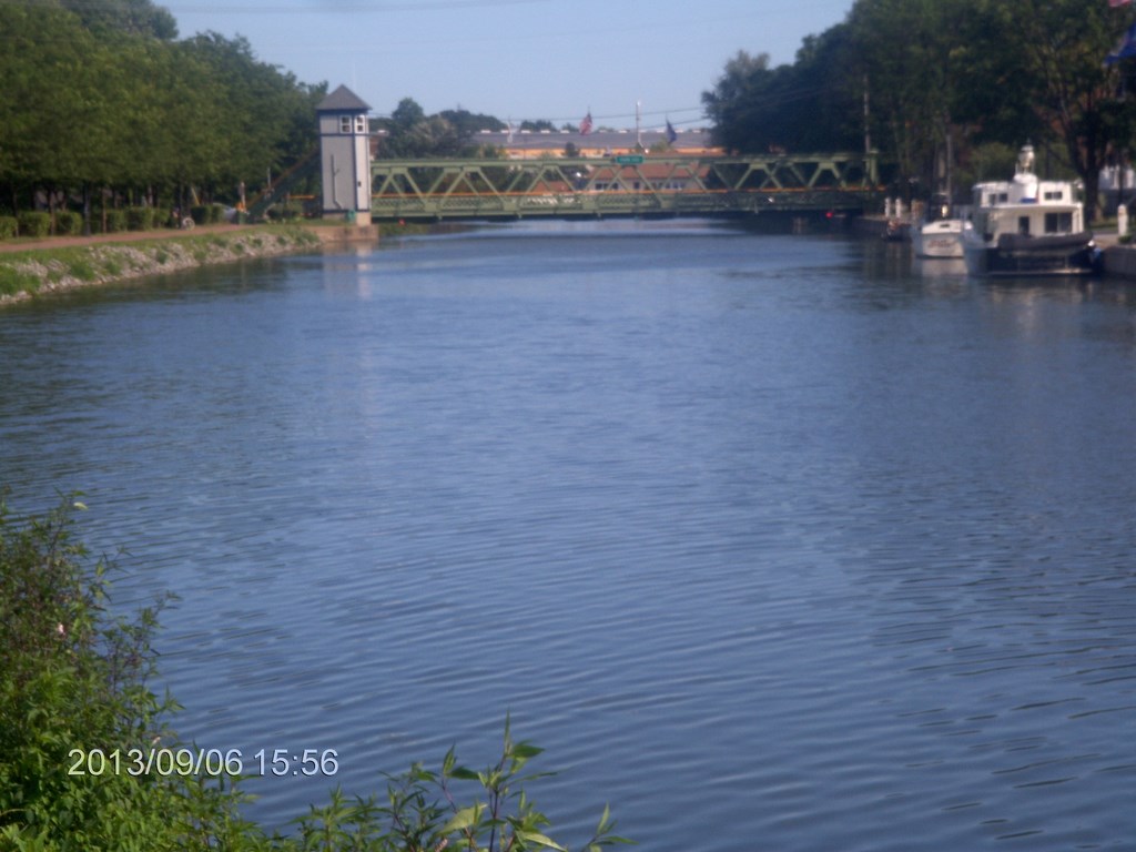
And a zoom shot of the next span downstream. This too must be a lifting span, with a bridge tower on the left.
More stunning architecture. At this point on the canal several eateries offer food to the weary recreational boater.
I want to rent a canal boat for a few days.
Then home along Highway 31 and Highway 104 to Lewiston.
We had a mercifully short crossing at the border, under ten minutes in the lineup, immigration and toll.
Home in time for a light supper of leftovers!
709-218-7927 CPRGreaves@gmail.com Bonavista, Thursday, December 24, 2020 4:02 PM Copyright ę 1996-2020 Chris Greaves. All Rights Reserved. |
|---|