709-218-7927 The Landfall Garden House 60 Canon Bayley Road Bonavista, Newfoundland CANADA A0C 1B0 |
|
|---|
.JPG)
Thursday, October 05, 2017
Today I plan to make a short trip to L’Anse aux Meadows. I’ve wanted to visit this spot since I first read Nevil Shute’s novel “ An Old Captivity ”. Then I shall turn tail and scurry back southwards to St George’s, close to the foot of the western shore of Newfoundland and close to Channel-Port-aux-Basques, and hence Saint Pierre and Miquelon .
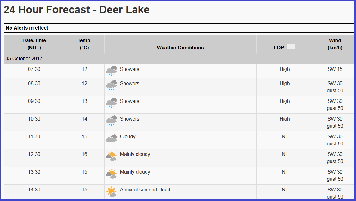
I probably shouldn’t look at tbe forecast. It can be needlessly depressing.
My guess is that I’ll not reach Deer Lake until after 2pm, when the rain should have stopped. Then it’s just 130 Km into St George’s.
I am starting to wonder “Saint George, his WHAT?”. Not a good sign.
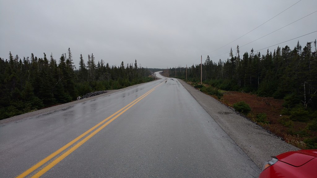
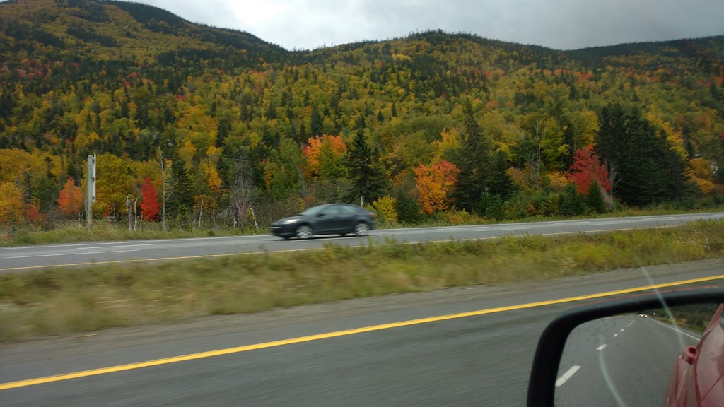
Well, I had a topping breakfast – ham and eggs and toast and partridgeberry jam, great coffee with cream. I set off around 8:25 feeling in the best of moods until I set foot outside the front door into a steady downpour. Not a drizzle, but rain, real rain.
I drove through St Anthony again and it reminded me of Prince Rupert. Small boats, rocky terrain, and bungalows that are several steps up from fishing shacks, but look like pre-fabs anyway.
By 9:12 I was in/at L’Anse Aux Meadows. Another image from my young adulthood in Australia, never dreaming that one day I would be living in Canada. I suspect it has been more like 45 years since I first read Nevil Shute’s novel “An Old Captivity”.
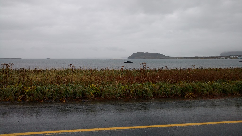
I made an executive decision that this was the spot where the two children came ashore, turned the car so I was in the lee of the wind and rain, wound down the window, took a photo, and left them to their fęte.
It seems like a long way to drive for just two minutes on-site, but there was no way I was going to get out of the car and get drenched. Not with such a warm and wonderful breakfast inside me.
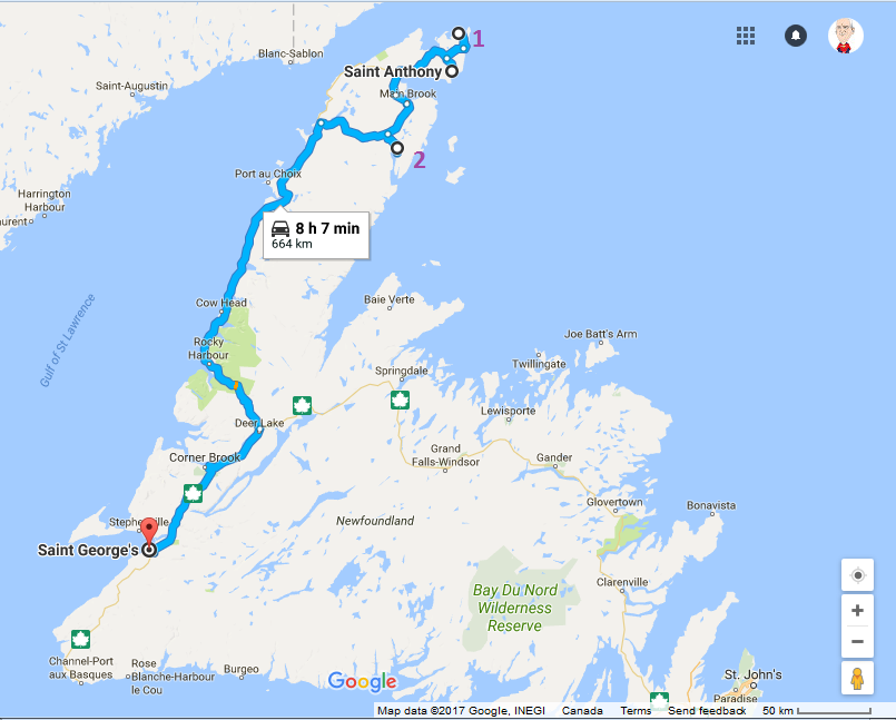
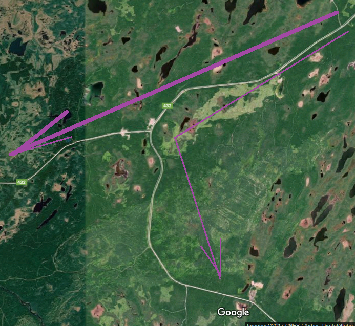
Here is my route for the day. I started in St Anthony then scooted out to L’Anse Aux Meadows, marked with a purple “1”. I headed back to the Deer Lake road through the interior, and made an error at a T-Junction so ended up in Roddickton, marked with a purple “2”, recovered, then set off for St george’s.
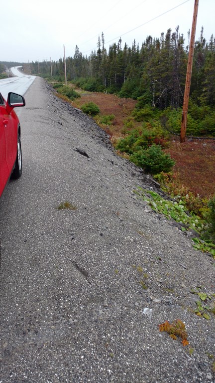
I got out of the car to take this photo.
The roads here often have no shoulder. If your attention strays, you do not bounce across some grass, through some scrub, and Twang! off some farmer’s wire fence.
You nose dive right close to the road so that the tow-truck doesn’t have to pay out too much cable.
I was still outside the car when I took this shot, too. I am about fifty yards into the intersection of highway 432 off highway 430.
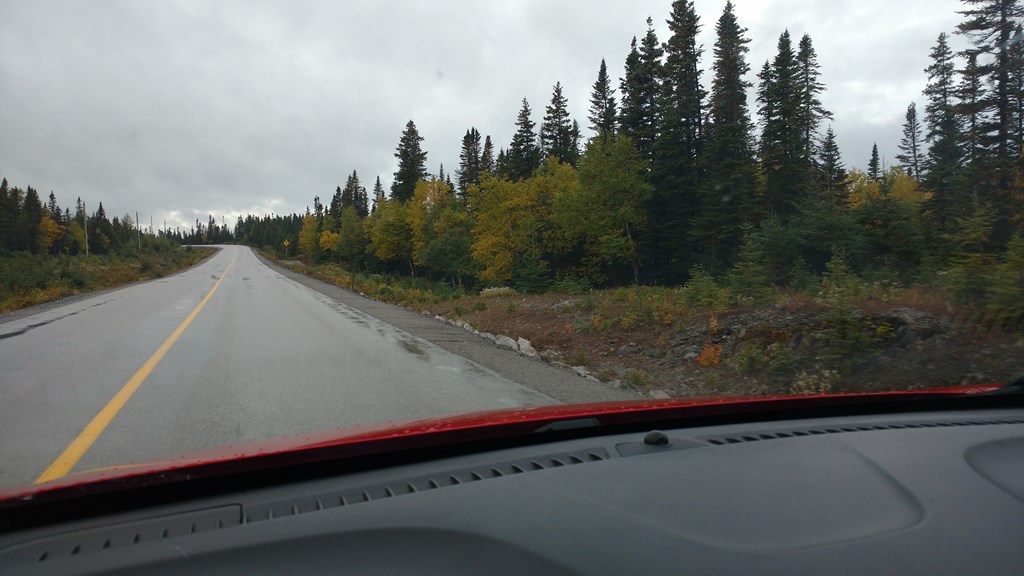
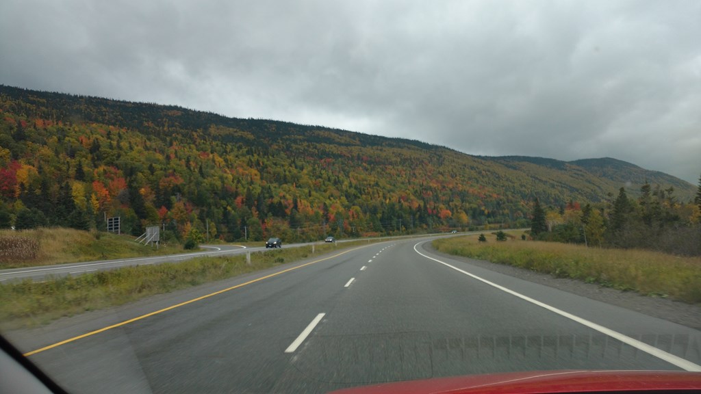
Then I set off again. In the interior (on this route) I noticed that the stumpy pine trees were now a 50-50 mixture of stumpy pine trees and a short deciduous tree. This held true as far south as St George’s.
I cannot explain this. I thought that one type of tree generally won out against the competition. I did not expect to see such a well-balanced compromise between two species.
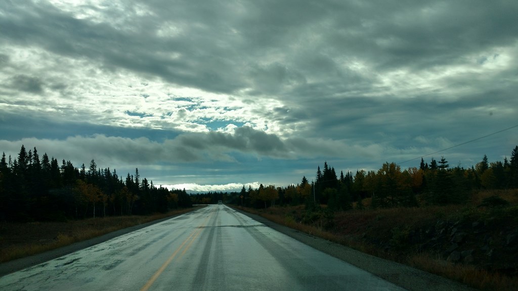
The sky began to clear up, as did my hopes. The rain stopped.
This looks like a French Avenue. You would swear that the deciduous trees were planted as a row of saplings.
I motored on looking for the turn off to the left for Roddickton, and noticed a road heading off to my right. That’s odd, I thought. I don’t recall seeing a road heading back North.
Shrug.
Continue.
The highway grew narrower, we passed into a small settlement, and I ended up at the end of the road in somebody’s driveway.
That’s odd, I thought. Also “Where is the yellow line that is supposed to run down the centre of the road?”
It’s a trick, see?
On my sheet map I had read the road as the thick arrow, running south from St Anthony and then west to the coast. But dear old highway 432 sports a T-junction, and if you just blindly follow what appears to be the main road, you swing south, then south-east, and end up in some stranger’s driveway.
More re-tracing of roads more travelled ...
The good news is that I spotted the Roddickton Thermal Generating plant. I didn’t know that there were Thermal generating plants in Newfoundland, but why should I be surprised? I know that Newfoundland was the front-wave of the Atlantic ocean floor spreading. Think “Iceland”. You can read more here . Or borrow Simon Winchester’s excellent book “The Crack in the Edge of The World” from your local public library (ask about Interlibrary Loans)
Next up in the world of surprises is an “ Underground Salmon Pool ”. Who knew that there were salmon that lived underground? I always thought that they lived in various types of lakes, rivers, and oceans.
“The Underground Salmon Pool is the only known place in the world where Atlantic Salmon swim through underground river caves to get to their spawning grounds.”
And then – what is this I see? Can it be Fog?
I crested a rise and over a kilometre ahead I could see serious rubber tyre marks on the highway, two parallel dark streaks.
Now I was taught that where you see short parallel burn marks, or a large oil patch, just before you reach that point you will exerience a serious dip in the road. The semi-traler bounces and the spare load wheels hit the road and burn some rubber, just like the landing gear on a plane. Statistically those vehicles with a slight oil leak will shed a drop just beyond the dip.
Hence the rubber and oil patches. Be warned if you are clutching a cup of hot beverage.
I was about half-way towards this spot, when the marks moved sideways and off the right side of the road.
Not tyre skid marks, but two moose on the highway. Moving off at the sound of the approaching engine.
So?
This has to be learned behaviour. It can’t be an evolutionary trait, because infernal combustion engines haven’t been around that long.
These two moose must have learned that a motor engine means hunters (bang, you’re dead) or collisoions (splat we are both dead).
These moose must have witnessed a dead cousin after hearing the sound of a vehicle engine.
Why else would they move?
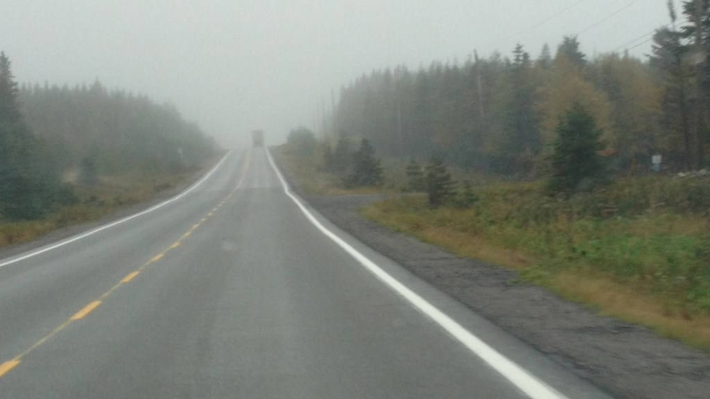
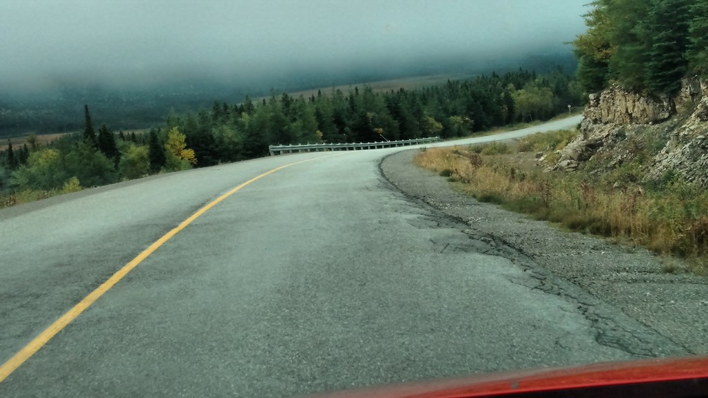
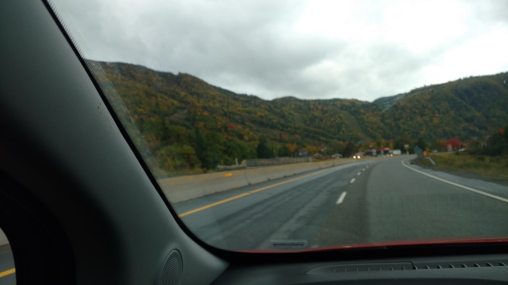
Yes. Once I rejoined highway 430 at Plum Point, the fog set in and the rain bravely tried to punch its way through the fog. And so it continued until Deer Lake, incuding that switchback stretch through the Gros Morne, about 250 Km with unbroken fog.
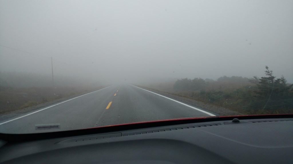
Thick fog, too. There is a big truck in there somewhere.
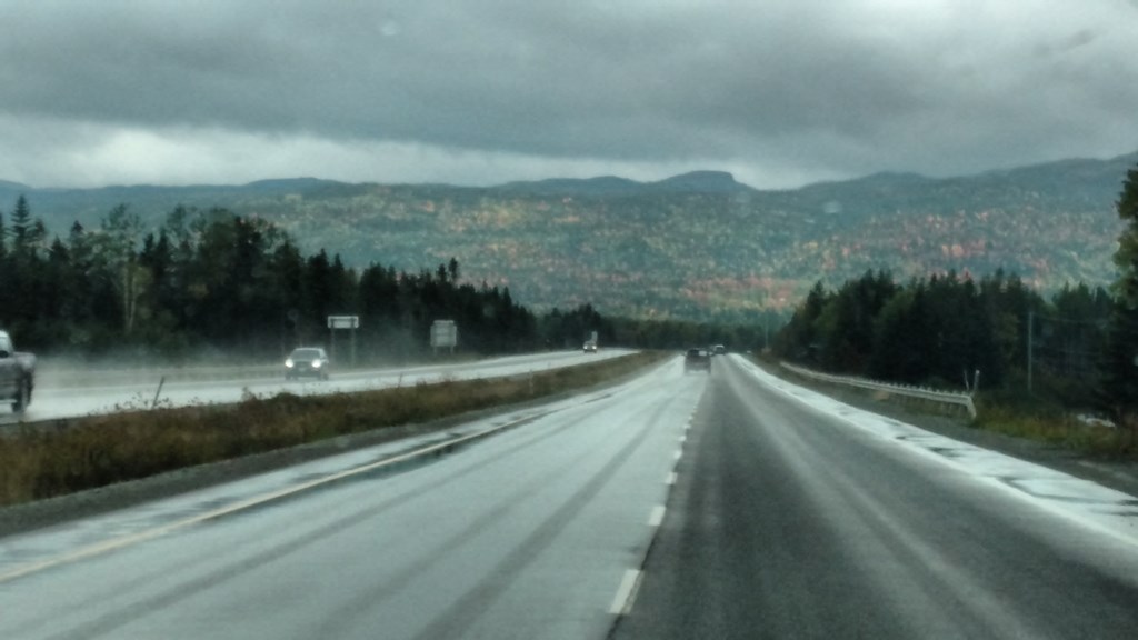
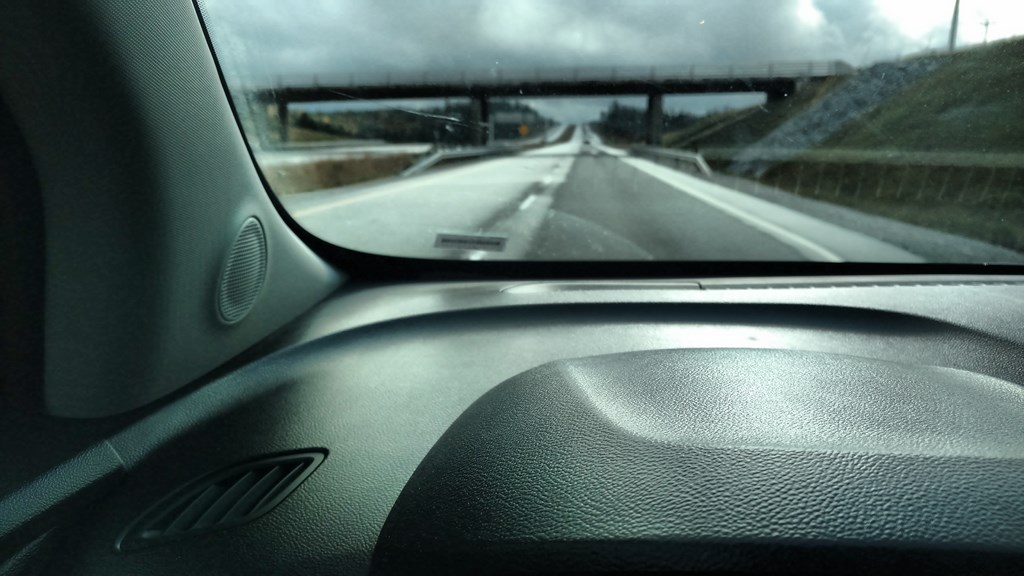
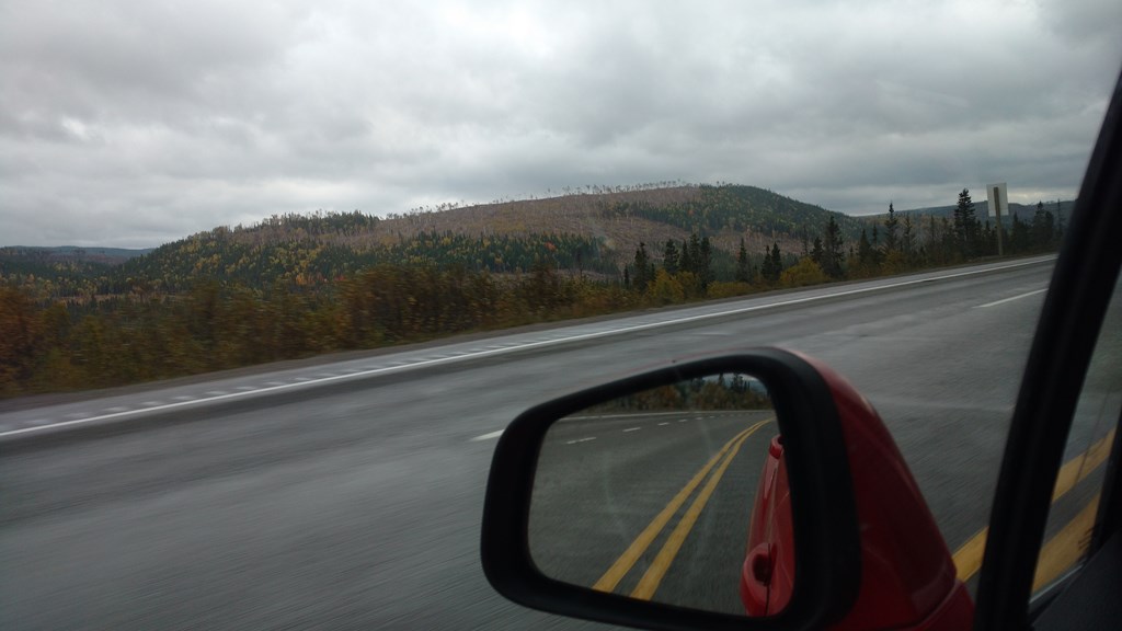
Here I am on my way from Deer Lake towards Corner Brook. Note the different shade of grey for the two lanes. The right-hand lane is dry, the left hand lane is wet. This supports my contention that Newfoundlanders have very good lane discipline and drive on the right, except when overtaking.
I love it, and compilment Newfoundland Drivers.
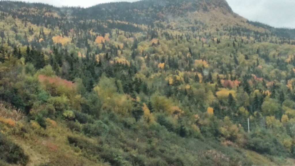
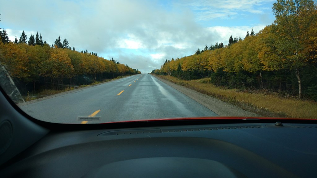
The first of several photos showing the mixture of fall colours, largely brought about by the mixture of tree species.
And yes, I believe this is the same mountain spine that paralleled highway 430 yesterday. But not today. The fog was too thick to see the mountains.
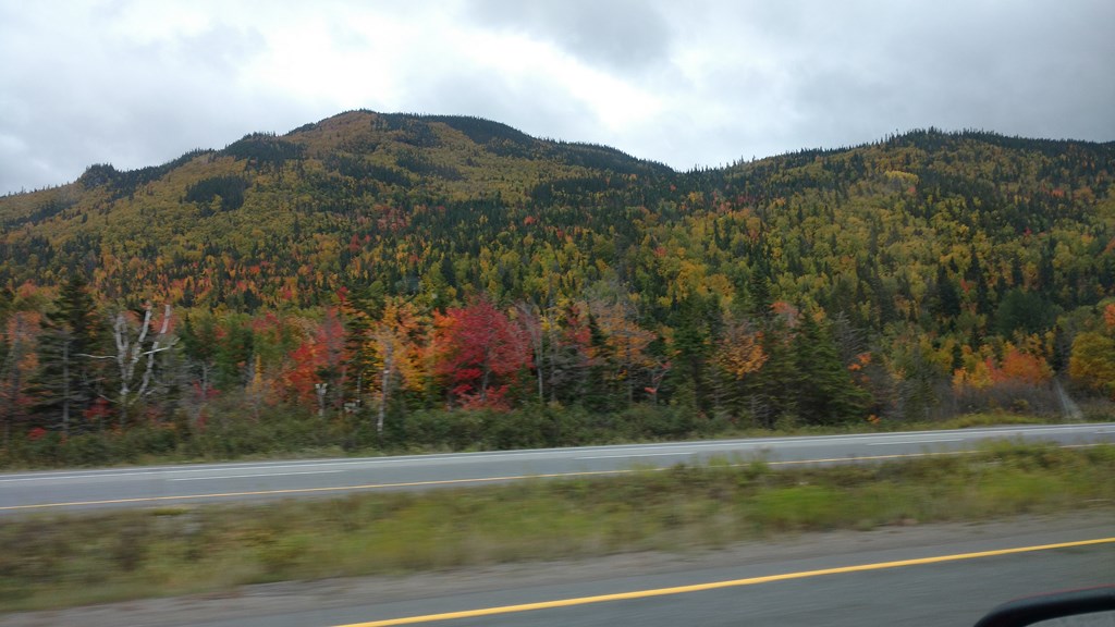
More colours.
More colours.
This stretch of highway between Deer Lake and St George’s reminds me of highway 400 and 27, up around the Coldwater area, two hours drive north of Toronto.
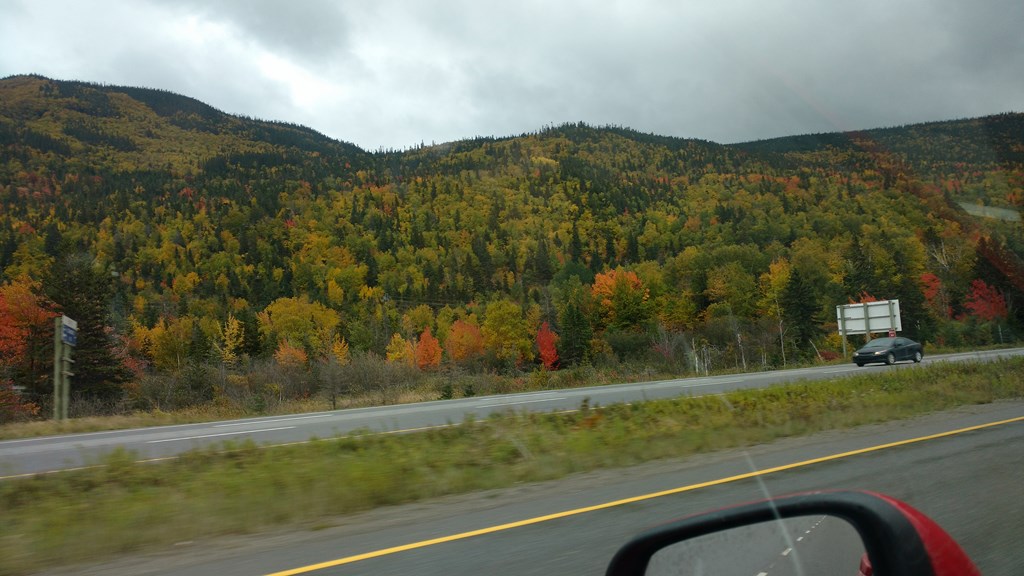
Another view of a dry right-hand lane.
Another view of a dry right-hand lane AND an oncoming tank of rain that will wet it all down again.
This looked better before I got the camera fired up.
As I approached the bend I glaced at the mountain ridge. The line of near-bare trees on the ridge created an optical illusion that the ridge had a cap of snow that extended a about a hundred feet from the top.
The “snow” was low cloud, and ther tree trunks looked like narrow mini-avalanche tracks through that snow.
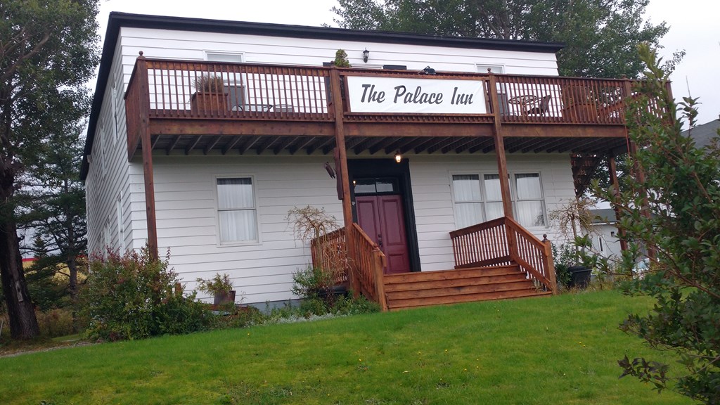
And here I am after a uneventful drive at The Palace Inn in St George’s. I think that this building was originally the Bishop’s Palace, if this town had a bishop.
I quickly learned that booking a room in St George’s was a mistake. The Inn is nice enoiugh, but there are no restaurants here. The nearest restaurant is in Stephenville, 27 kilometres away at road speeds between 40Km/hour and 80 Km/hour.
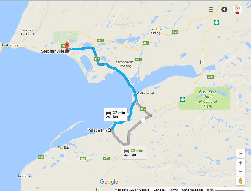
So I hopped back in the car (groan!) and thought “I’ll gas up before heading to Stepheneville”. Guess what? No, you’re wrong there. There are no open gas stations in St George’s after 6pm.
The Chevy Trax said I had 118 Km of gas left, No big deal.
I trundled into Stepheneville and have to say that I have NEVER met a town with so many signs announcing itself with no evidence of gas stations.
I began to worry. The last thing I need is to run out of gas 25 Km away from home. Finally found a gas bar and pumped $58 into the Trax. You didn’t think a compact car could absorb that much gas, did you? 46.5 litres which the Trax claims will now stretch to 818 kilometres tomorrow.
I asked if there was a restaurant in town that served Authentic Newfoundland food. “Try the Hartery's Family Restaurant”, so I found it, parked, walked in and asked. The general consensus was “Huh?”. Hartery’s is little more than a burger joint that also sells wraps. A look at the menu told me I wasn’t getting out of there under $20, so I decided to go grocery shopping, and for $23 got a slab of yummy Asiago Cheese, some chips and crackers, and another bag of apples that will last me three or four days.
The two young ladies did say that they served Jiggs Dinner, but only between 11am and running-out-of-Jiggs time. Oh, I said. Maybe I’ll come back tomorrow lunchtime. Nope. Jiggs Dinner only on Thursday.
Today, of course, is Thursday, so I could hang around for 160 hours, or take to the road. Decisions, decisions ...
Drove back to St George’s, around fifty kilometres added to my days total. I could have saved ninety minutes and fifty kilometres of gas had I booked into Stephenville. A solid 750 Kilometres driven today, about 80% of it in rain and fog.
And now for some left-over notes ...
Wednesday on my last half-hour into St Anthony I saw a camper van parked on the edge of the highway. Probably stopped for an apple or a cup of tea.
Then over to the left hand side, a man with a rifle resting in his arm. And in the scrub what looked to be a black bear. In conversation with my host I was told that it might have been a moose, they can look black, but I’ve seen more black bears than moose, and this looked like a black bear.
OK. So it is hunting season, but what is a guy with a camper-van, a motor home doing hunting with a rifle at the side of the road?
The theory is that he has an annual licence for this part of the country, but lives elsewhere. So in hunting season he drives up here, establishes a base camp and lives out of the mobile home in the camp. Shoots his quota, loads it into the camper back to the base camp, skins and dresses it or takes it to a local butcher. Then at the end of a week or two, drives his catch home.
709-218-7927 CPRGreaves@gmail.com Bonavista, Sunday, June 02, 2024 11:59 AM Copyright © 1990-2024 Chris Greaves. All Rights Reserved. |
|---|