709-218-7927 The Landfall Garden House 60 Canon Bayley Road CANADA A0C 1B0 |
|
|---|
.JPG)
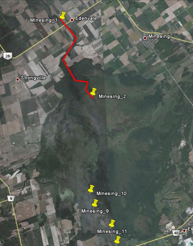
MinesingSwamp_Edenvale
Saturday, June 19, 2010
My day did not start well. On the way to the bus stop I discovered that my water bottle had opened spilling about 2/3 its contents into my bag. The maps, MP3 player, cell phone, keys, hat, coat lunch et al. were as wet as if I’d taken a tumble from the canoe – and I wasn’t even at the bus stop yet! My trip up was spent trying to dry everything. Especially my printed map sheets for navigation. Now I had no hard-copy book and no audio book to interest me for the trip up. Sad.
About 135 Km north of Jane and Steeles, up Highway 11.
Jane and Steeles to Minesing Swamp (South end)
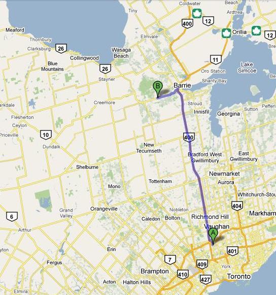
Take Highway 400 to the outskirts of Barrie.
Take the Dunlop Street exit and head West.
This site gives eight access points to the swamp
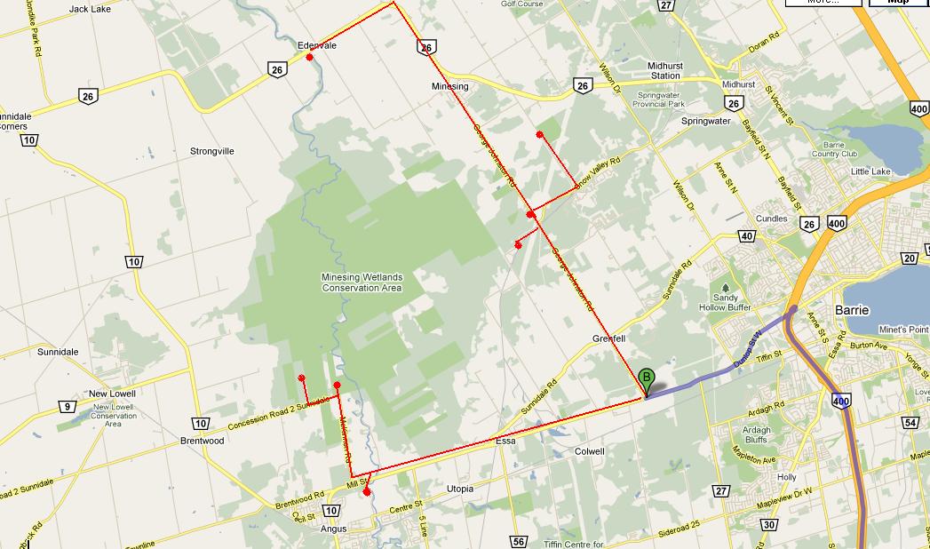
All but the first seem to offer launch spots.
Trans Canada Trail at Minesing Station
Travel 6km North on Bayfield Street from Highway 400 in Barrie and turn West onto Highway 26. The Trail head is 5km on your right. Start a cycling or hiking journey on the Trans Canada Trail or enjoy the monument to the Trail and the surrounding grounds. (Parking, Trans Canada Trail Head)
Mayers Marsh
Travel 2km North of Snow Valley Road on the Vespra Valley Road (9th Line of Springwater) until you cross the Trans Canada Trail. Traveling East from here on the trail to the viewing platform you can easily view representative plants and wildlife that would be found deep within Minesing wetlands without impacting the sensitive areas within the wetland’s interior. Explore the Mayers Marsh interpretive trail or start a short or long journey along the Trans Canada Trail. Walk East to the Harry Adams bridge to view fish as they migrate upstream. (Limited parking adjacent to the road is available)
Willow Creek
Travel 8km North of County Road 90 on George Johnston Road (County Road 28). The access is on the left. Take a short hike on the Meadow Mouse interpretive trail along the levees of the Willow creek, catch up on local conservation events at the information kiosk and learn more about Minesing wetlands and it’s RAMSAR designation. This is also the canoe route access point for the Willow Creek. (Limited parking available in the car corral)
Fort Willow
Travel 6km North of County Road 90 on George Johnston Road (County Road 28). Turn left on Portage Trail Road for 2km. Fort Willow on the Nine Mile portage is a partially reconstructed Military depot, fort and transportation route from the War of 1812. Interpretive guides are available and special Fort Willow Improvement Group events are held here on a regular basis including re-enactments. From here you can start a trip on the Trans Canada Trail and Ganaraska Hiking Trails or take a short walk West to the lookout over Minesing wetlands.
McKinnon Road
Travel 3km North of County Road 90 on McKinnon Road. You can hike or fish the banks of the Nottawasaga River or join the Friends of Minesing wetlands for a guided winter walk to the Great Blue Herony. OFSC snow machine trails are easily accessible from here.
Nottawasaga Community Centre
Travel 16km West on County Road 90 from Highway 400 in Barrie. Cross the Nottawasaga River and the Centre is on your left. Start a trip along the Nottawasaga River Canoe Route or fish for Chinook salmon, pike and steelhead on the banks of the Nottawasaga with a pass from the Township of Essa. Connect with the Pine River side trail of the Ganaraska Hiking Trail for a short or long jaunt. The Ganaraska Hiking Trail eventually connects with the Bruce Trail. Stock up on provisions or enjoy a hot meal and comfortable lodging at a merchant within the Community of Angus.
Mad River
Turn East off County Road 10 on the Brentwood Road (Concession 2 Sunnidale). Travel East until you cross the Mad River bridge. A laneway on your immediate left leads to a parking area. Start your trip down the Mad River Canoe Route from this area. The canoe route does not receive regular maintenance and may have numerous log jams to navigate so plan on short portages or bring a buck saw with your equipment.
Edenvale Conservation Area
This C.A. is located adjacent to Highway 26 at the Nottawasaga River between Minesing Station and Stayner. From here you can canoe upstream into Minesing wetlands or travel downstream to Wasaga Beach on the Nottawasaga River Canoe Route. A boat launch and group / canoe camping are available with proper reservations. Call the NVCA at 705-424-1479 for details. Catch up on local conservation events at the information kiosk and learn more about the War of 1812 and the Glengarry Landing at the plaque located at the gates to the Conservation Area.
Now only a fool would start anywhere but downstream on an unknown river, so we started at Edenvale, the northernmost red dot on the map above.
How far did we get? Not very far as the crow flies, but still a fair distance, given the meanderings of the river. We spent 4 hours on the water, about 2˝ hours up against the strong current and 1 hour back
Now to the day itself:
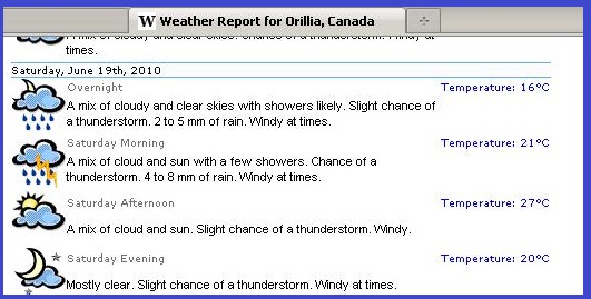
Throughout the week, thunderstorms were forecast for Saturday:
The evening before at 10 p.m. Two huge cell-sets were thundering (literally) across Iowa and Michigan, aimed as predicted directly at Minesing Swamp.
But by 6:00 a.m. Saturday they had coalesced and swerved to the south-east of us.
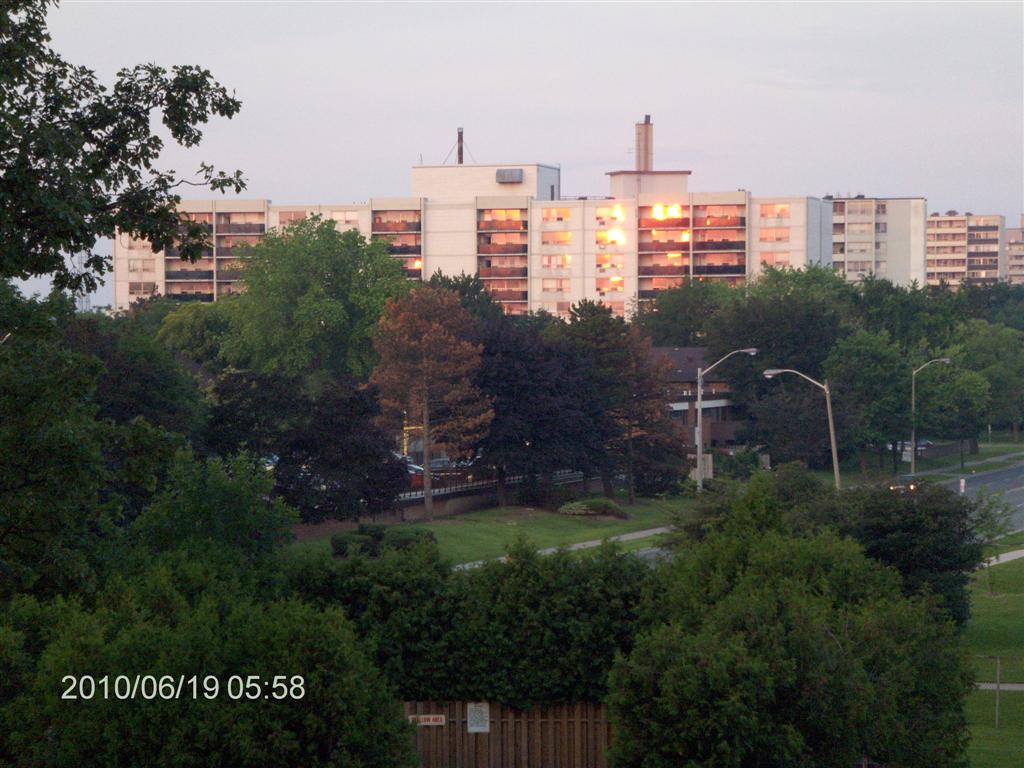
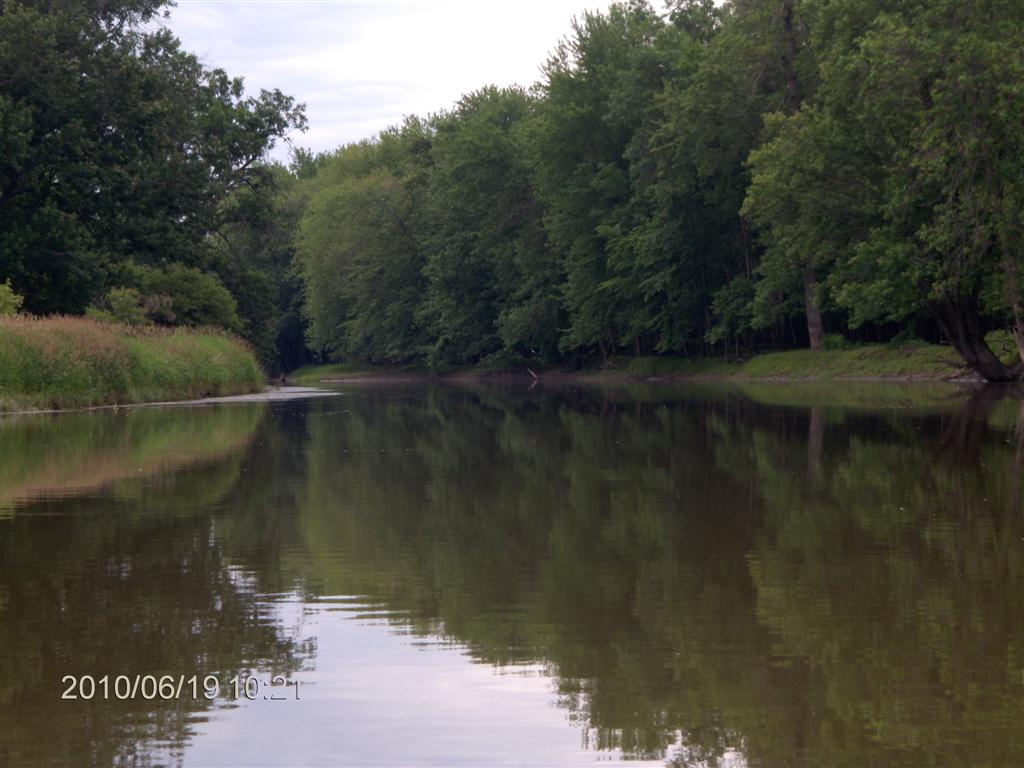
The day dawned clear and sunny, as you can see by the reflections from the buildings.
So its Ho! For the open road.
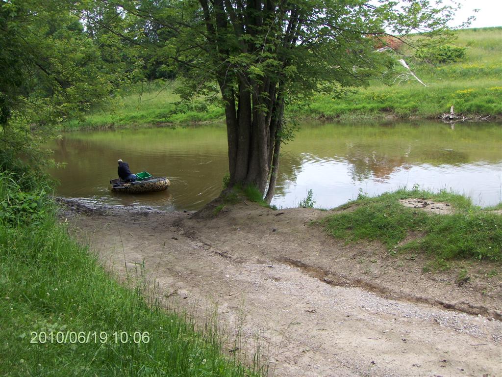
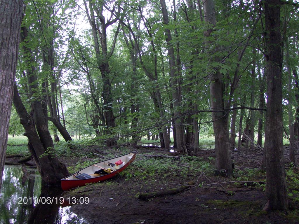
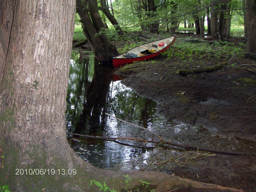
Sixty minutes from Jane And Steeles (90 in fact, but we went on a little tour for 30 minutes) we were at the launch spot at the Edenvale Conservation Centre.
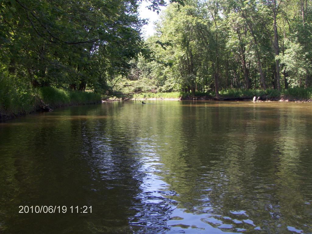
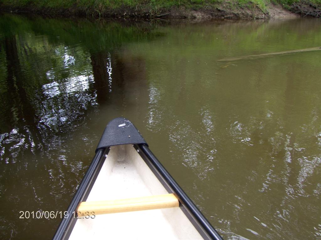
Here is the view from the concrete boat ramp (overlaid with gravel, silt and mud).
We visited here after our trip to the Flos Road 4 and Flos Road 5 .
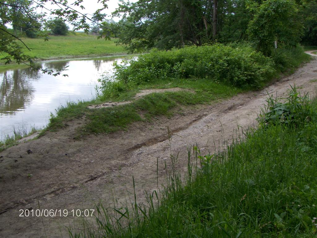
Here is view from the boat ramp looking upstream.
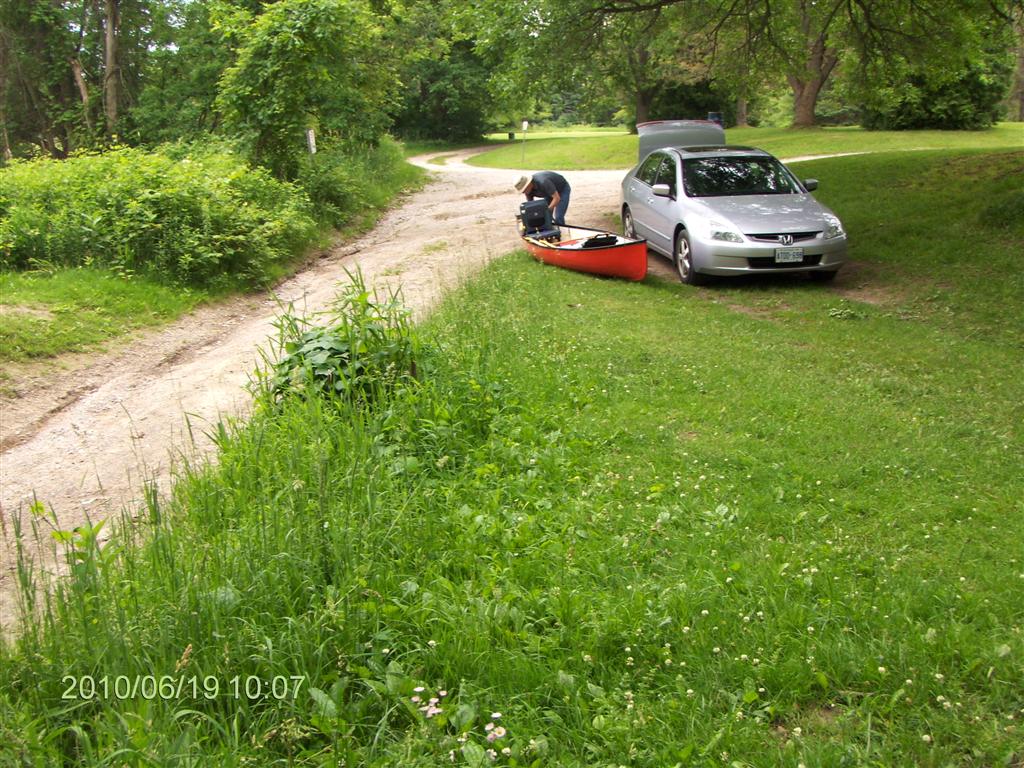
Here is Fred, transferring stuff from the car to the canoe while I just stand around taking photos.
Typical!
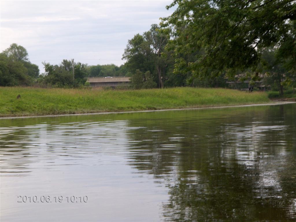
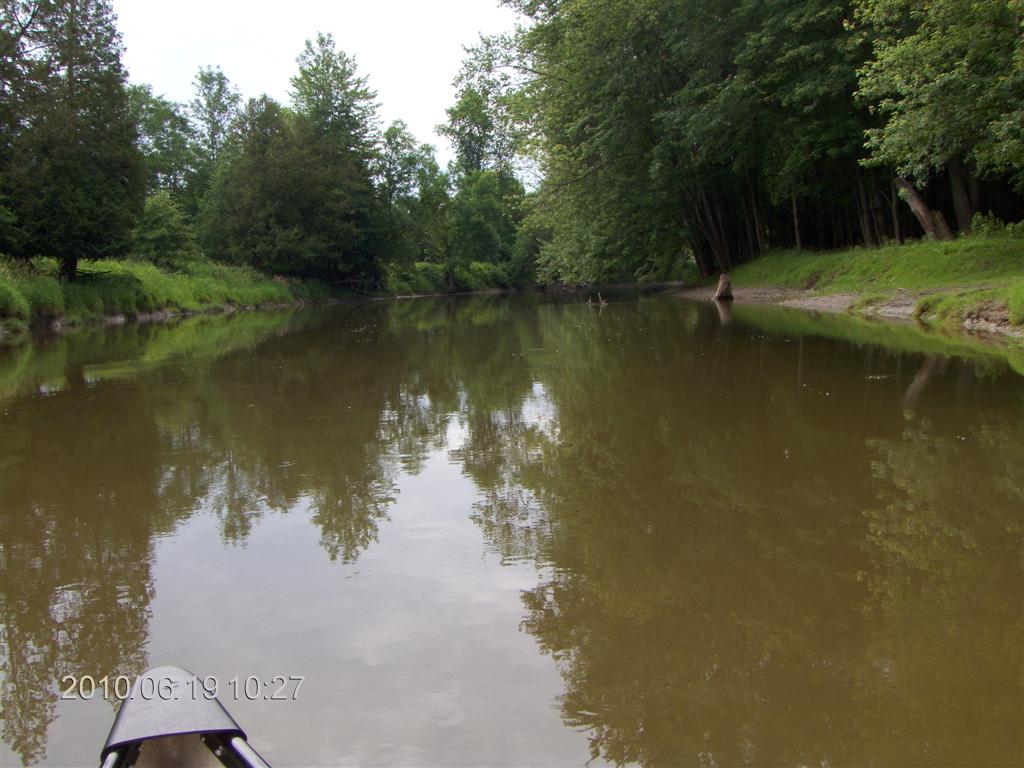
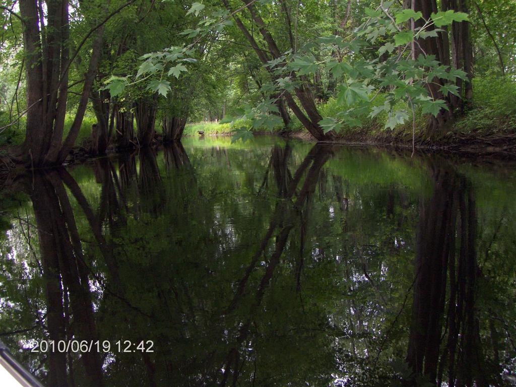
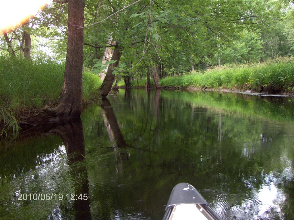
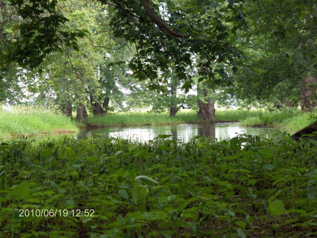
We put in and set off at 10:10. There is a strong current visible.
In the background you can see the bridge over highway 26.
But we are not deterred. We’ve done the SMART thing and started downstream; we will paddle upstream until we are tired (or fed up with each other’s company), and then coast back downstream, at the same speed as the wind, bringing with us our personal clouds of mosquitoes.
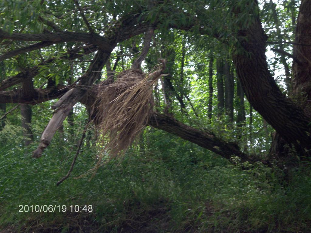
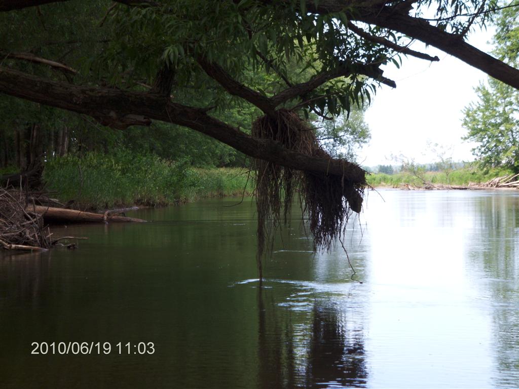
As we pass under the bridge, we disturb a massive flock of birds whose clay nests line the piers and girders by the hundreds.
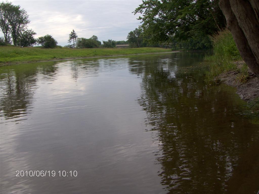
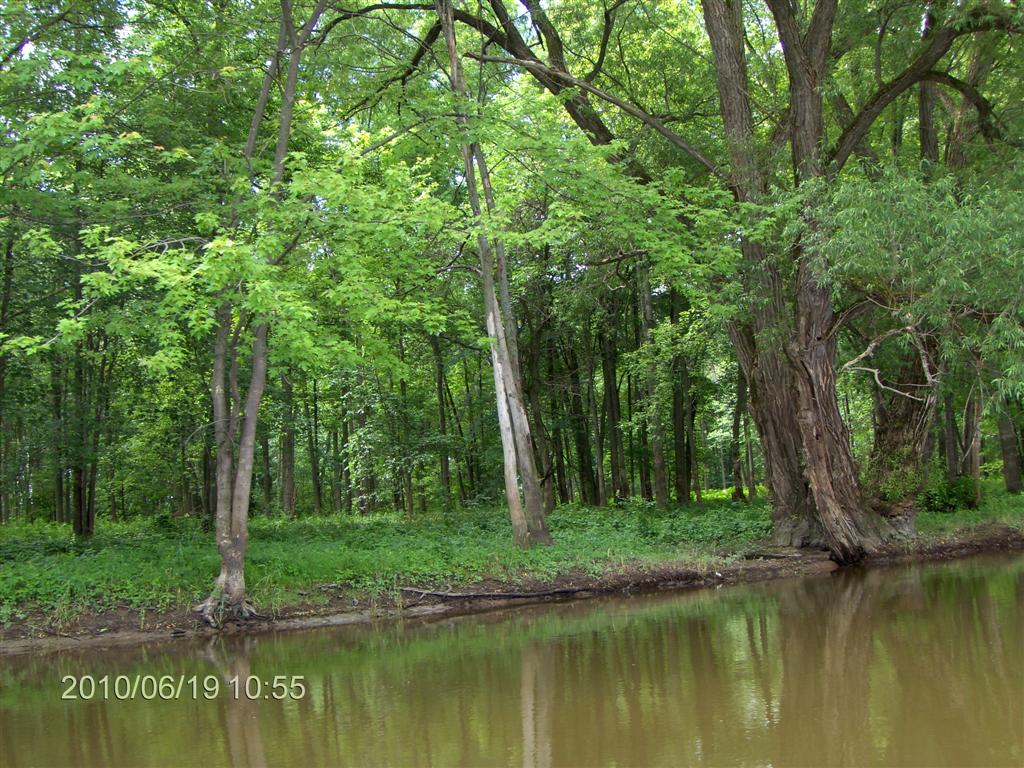
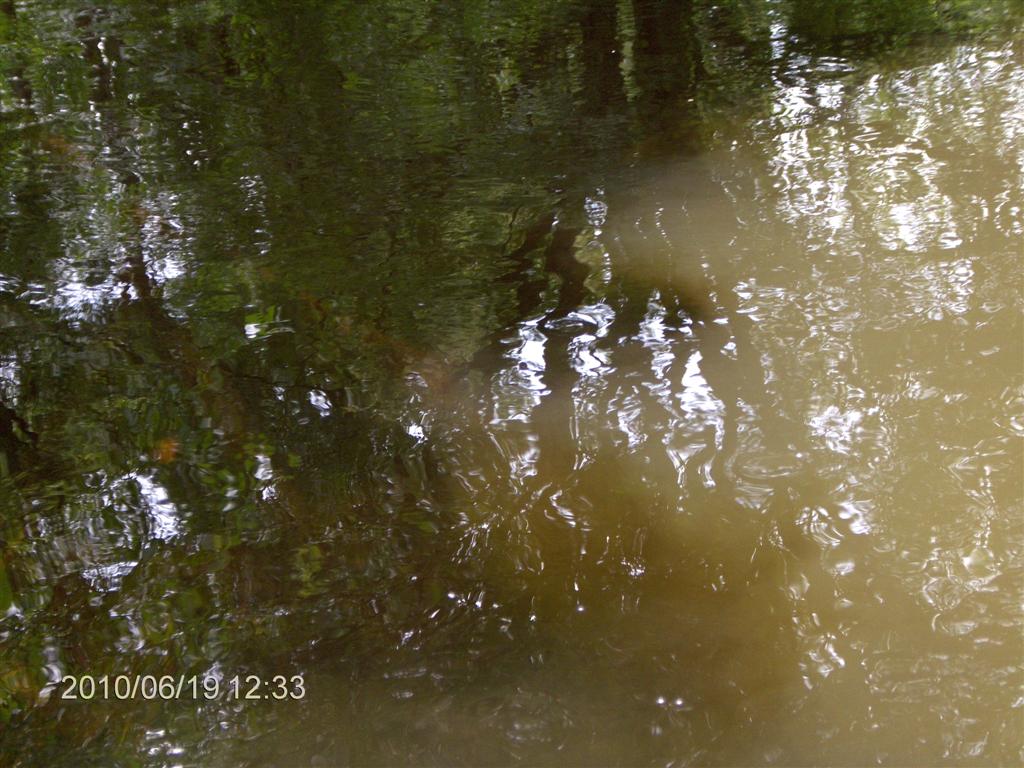
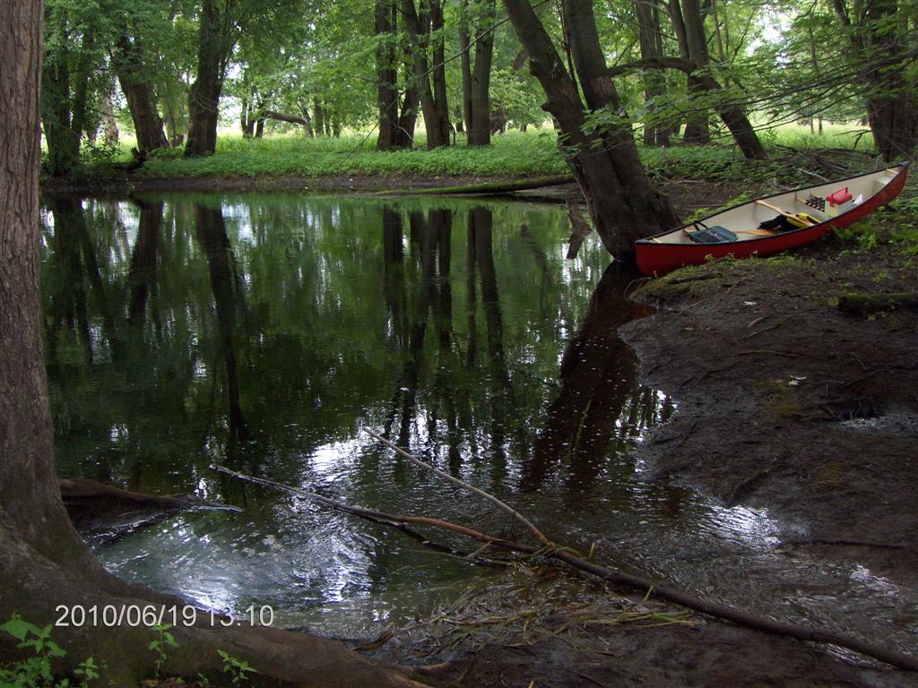
In places the water is glass-smooth. In this early section pastures line the bank and the smell of cow-dung is strong.
To counter this image, picture dozens of red-winged blackbirds for the length of the trip.
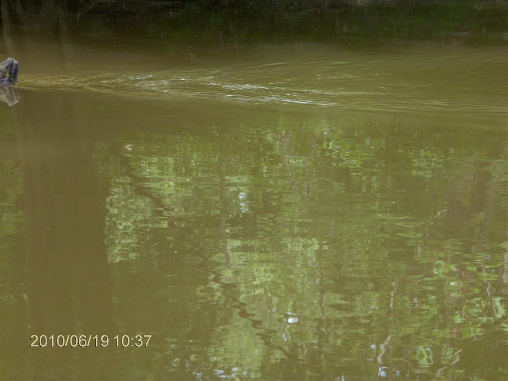
We can guess what is in the muddy water.
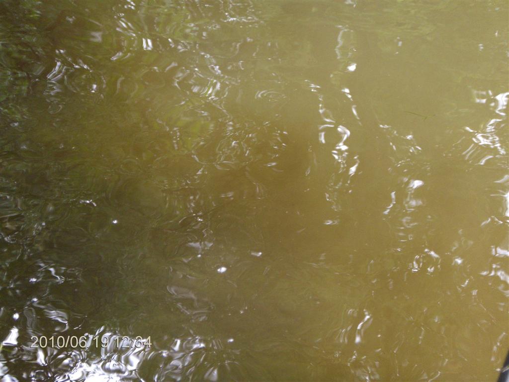
The mosquitoes started and got worse the further we traveled up the river. We are looking at Mosquito Net Store .
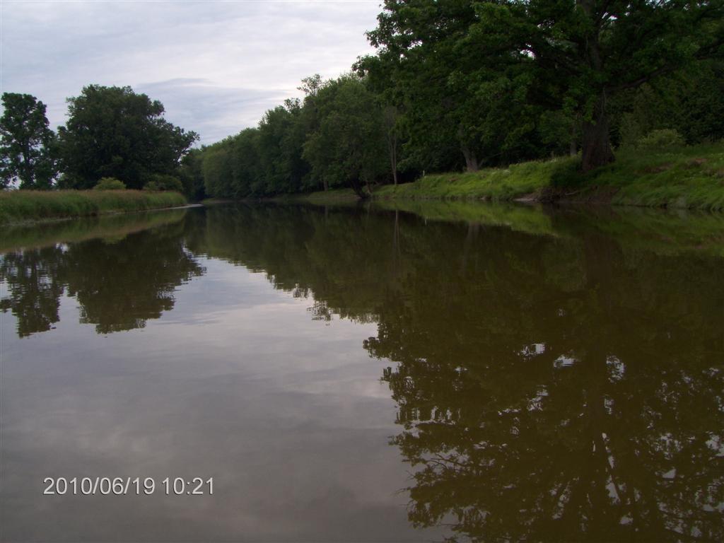
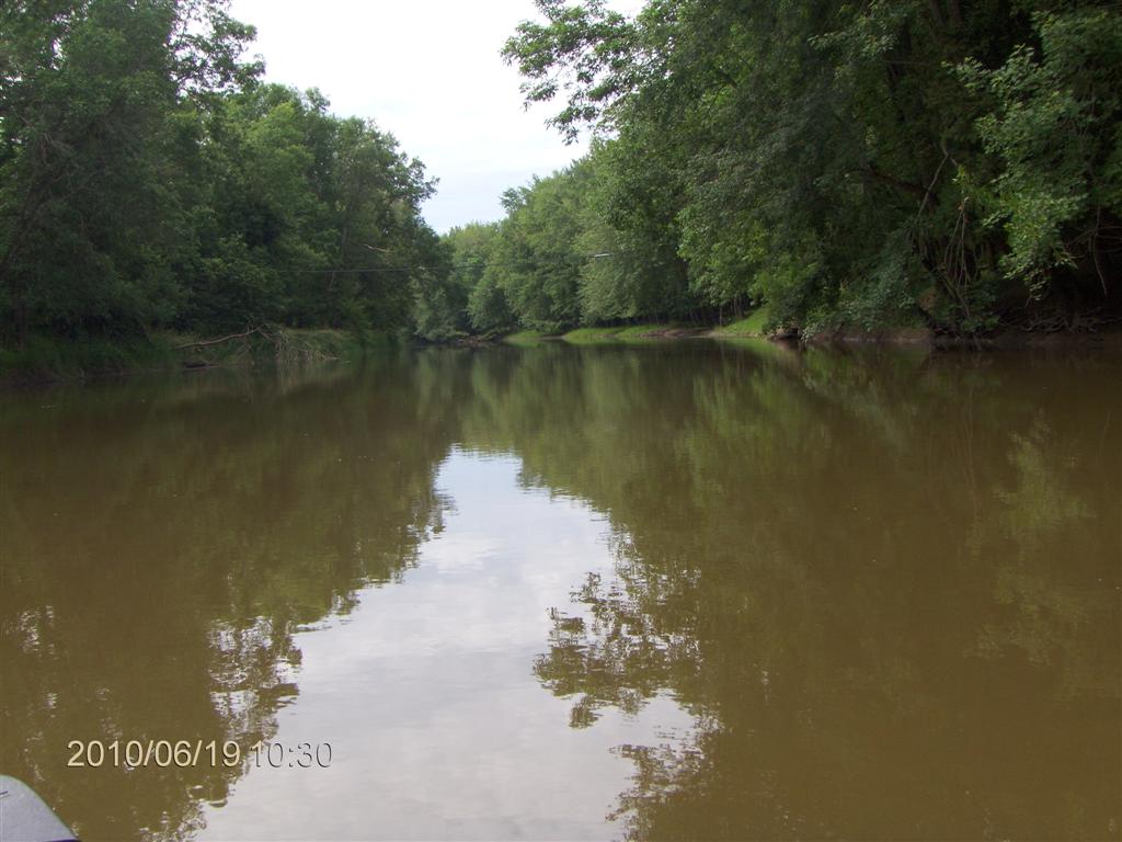
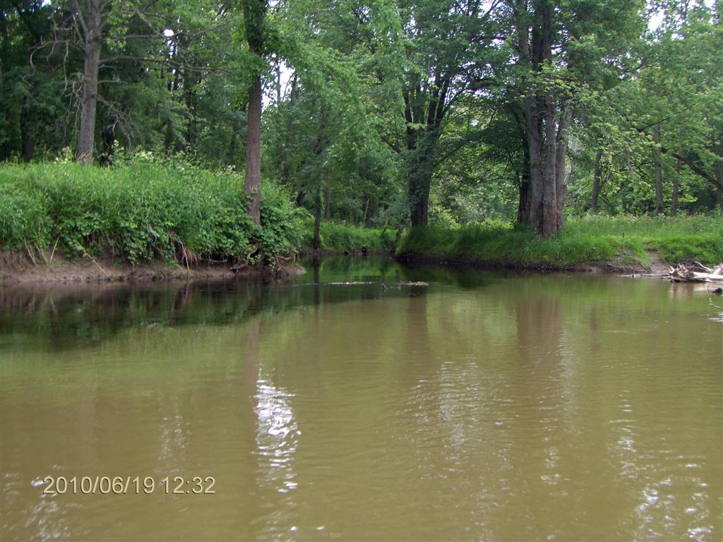
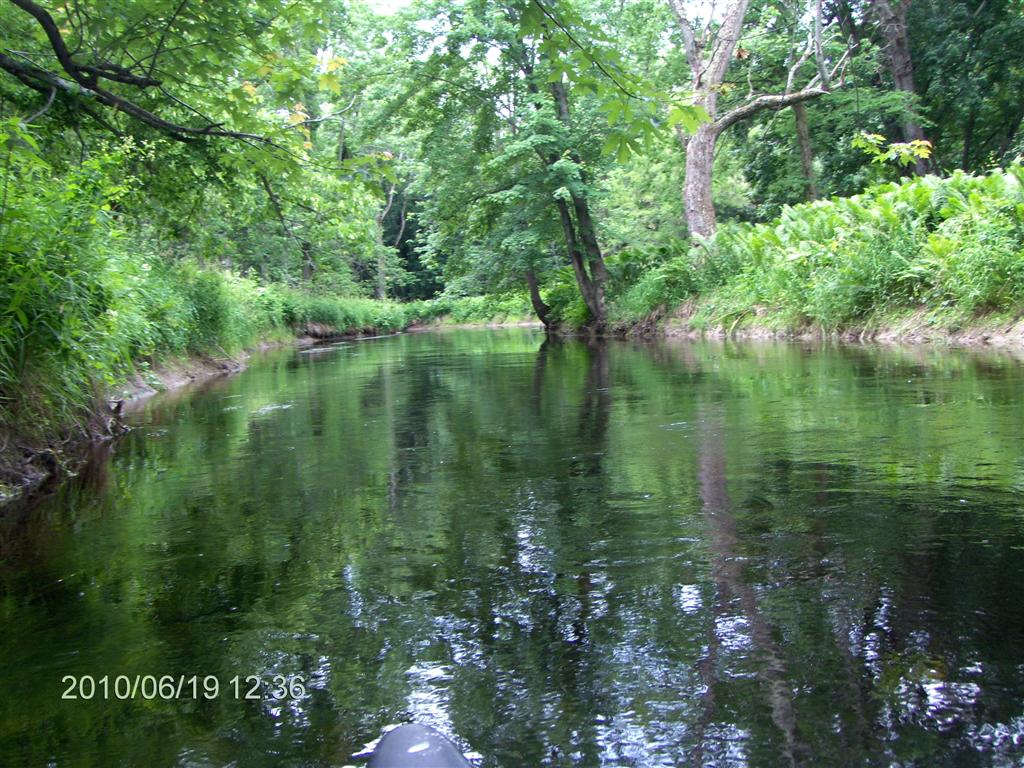
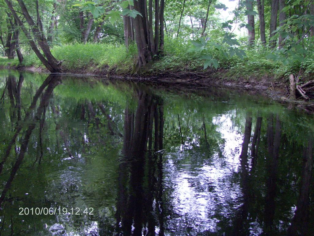
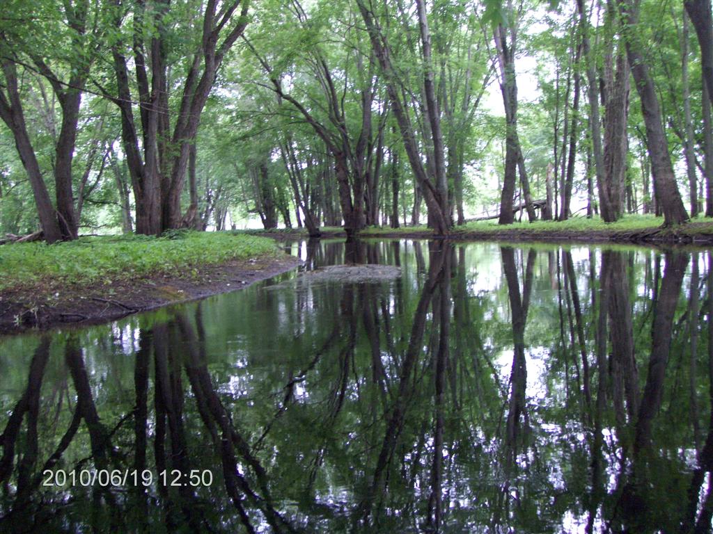
In less than 10 minutes, paddling slowly, upstream against a strong current, we are into a tree-bounded stretch.
On one side or another we see a glade of trees, and it seems to us that cows or some other large animals have made paths to the river, to drink.
Twenty minutes into the trip and we felt we were in paradise.
How wrong we were! Paradise came later.
Here is a shot showing the strength of the current.
I wished I’d brought more lunch; I’ll need the energy.
When the Nottawasaga River is in flood, it floods High!
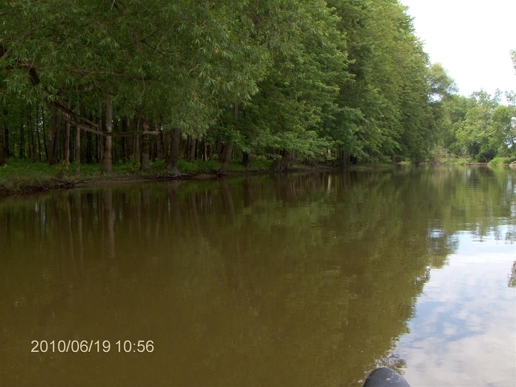
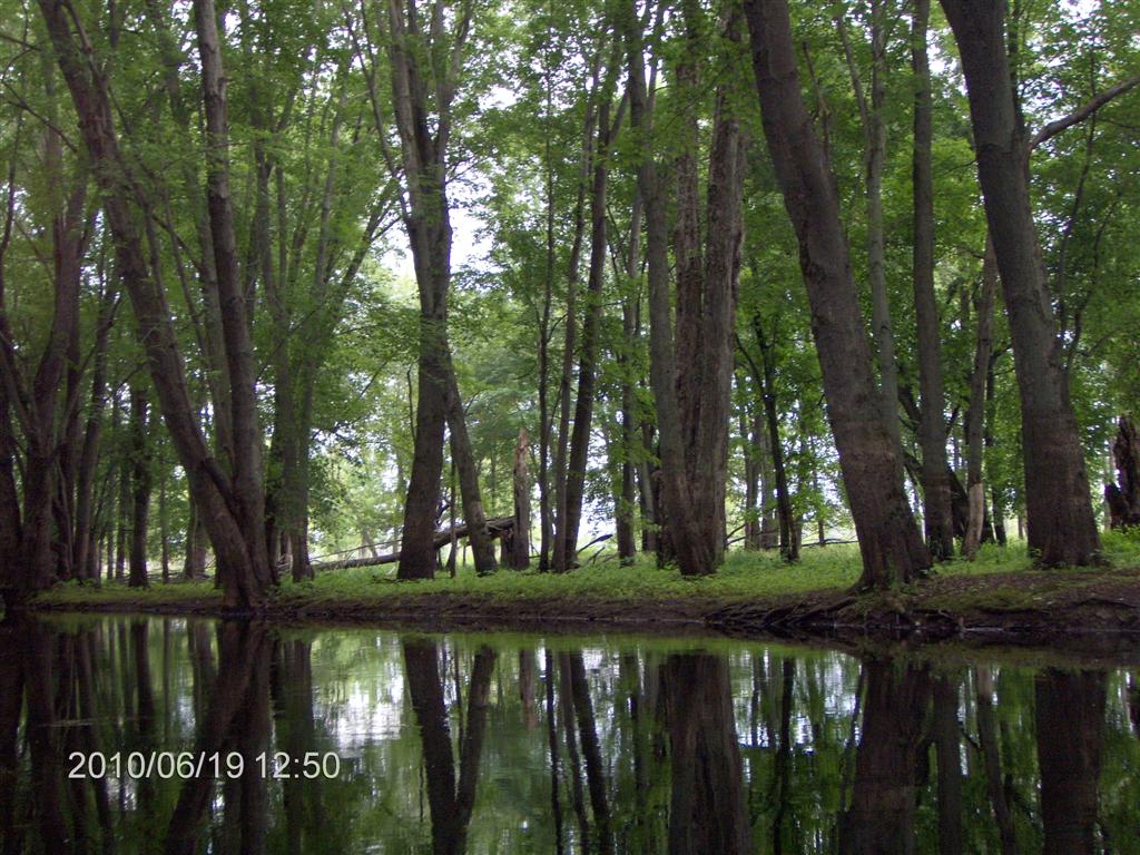
The leafy glades dazzle our senses.
During our four hours on the water we heard only ONE item of human-generated noise – a plane passing high above us. We can live with that.
No people, no houses, no cars, no boats. Not even any other canoeists.
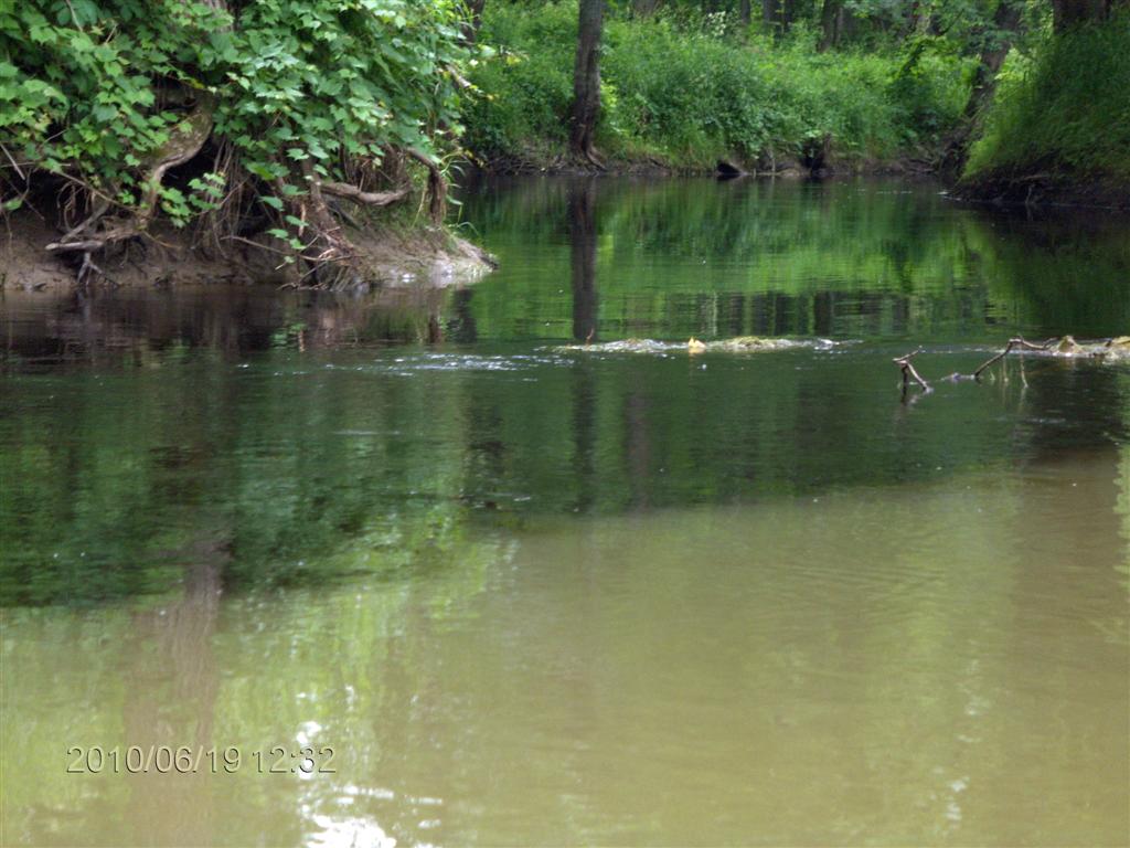
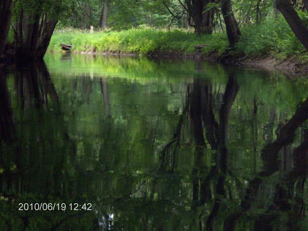
Every 40 poles (1) or so the scenery changes.
We both remarked how in the space of about five minutes we would leave the “leafy glade” and move into the “covering forest”, and then five minutes later be in the “swampy tree” type of river.
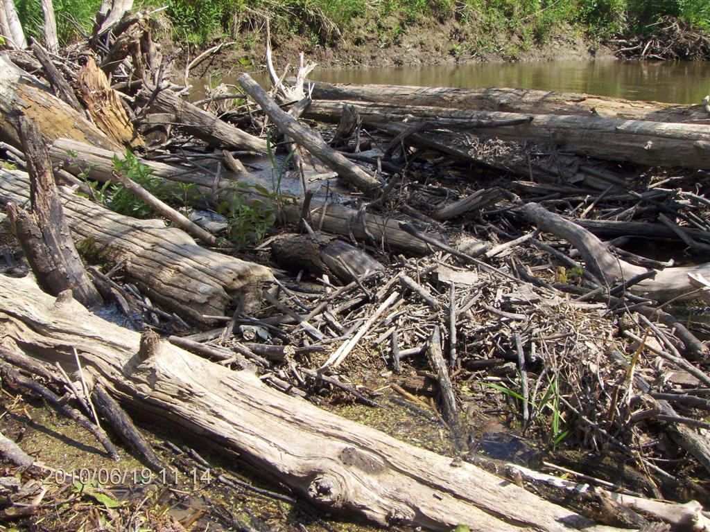
Here is a close-up view of some of the grassy debris raised up by a recent flood.
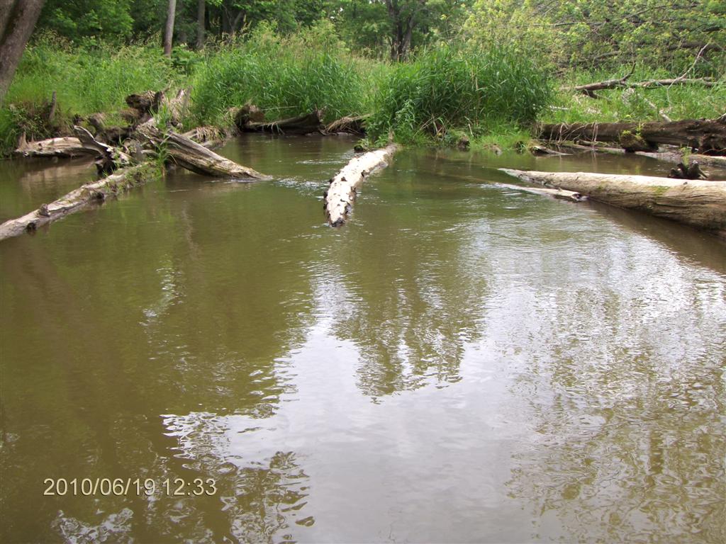
Up ahead on the right you can see our first (!) luncheon spot.
And here we are, nestled sideways against a log-jam, held fast by the current. mid-stream, away from the mosquitoes.
At the shore end a fallen tree makes a convenient bridge to the bank.
Partway along it is joined by another trunk.
We saw no turtles on this trip, perhaps because we were on a relatively swift river.
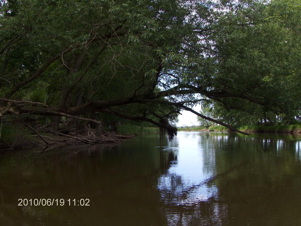
Never before have we experienced so many changes in such short stretches of a river.
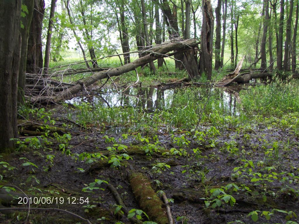
We passed several drainage streams feeding into the river, perhaps in all we spotted half a dozen, each of which might give us access into the swamp proper.
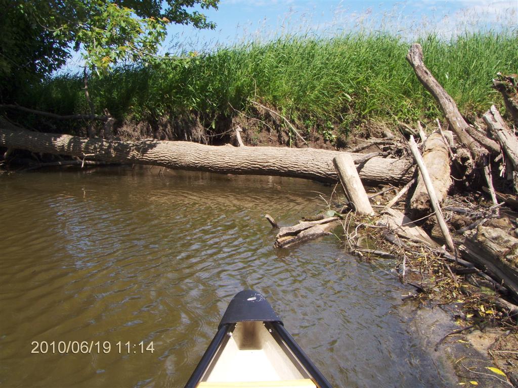
Suddenly we came to a peculiar fork.
Ahead of us was a forbidding log jam – impassable.
To the left fed in a creek.
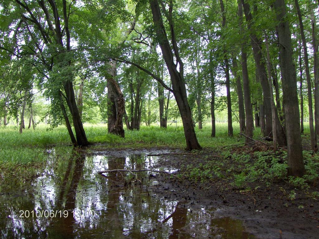
In the photo above you can see the change in color of the water.
The dark patch is not the shadow of a tree. It is the water – black-looking.
At first I thought it was loaded with tannin, but Fred’s interpretation was correct – it was clear water draining out of the swamp, not the clay-laden water of the river.
The current was a strong as ever. We are 2˝ hours into our paddle at this point.
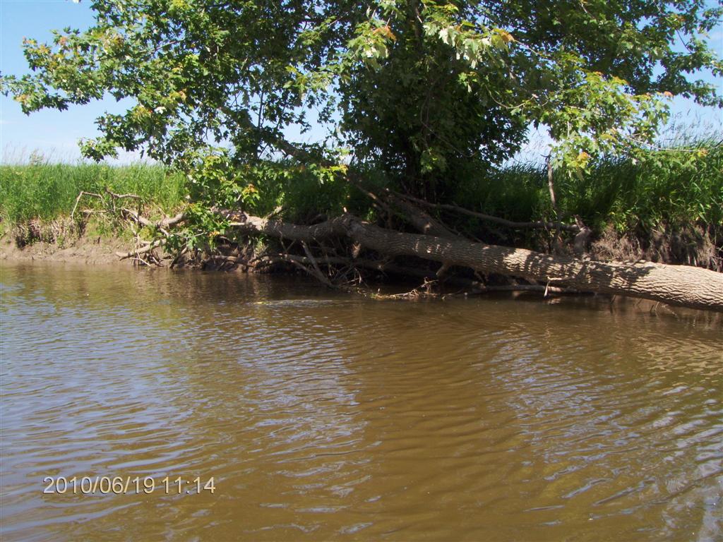
For most of the trip we negotiated submerged and partly-submerged logs and branches.
Another view of the change in colour; the boundary between the two flows.
Here are swirls of colour as the two flows merge.
A close up of a part of the merge.
We set off up the smaller tributary.
The current here was strong, too, so we are still making slow progress upstream.
The banks appear to be natural levees , which occur with flood-plain rivers.
On we go. The water is silky-smooth.
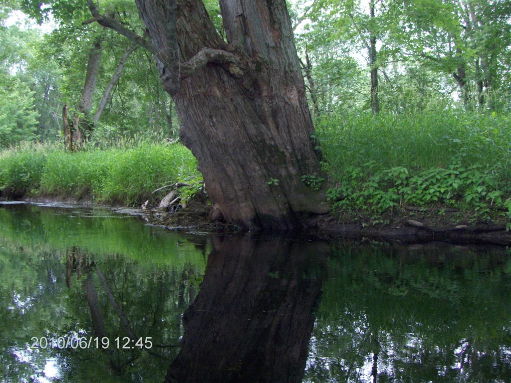
Huge trees line the banks.
Every now and then we pass a family of Canada Geese nesting on the bank.
I can’t resist taking a photo each time Fred mutters “Ideal!”
Sometimes he mutters “Perfect!”, which makes a nice change.
The banks are muddy and uniform. We found very few beaches where we might just run in to the bank and step out; mostly the banks presented two or more feet of near-vertical mud.
The further upstream we go, the more we see of these fantasy-like groves of trees. The atmosphere is cathedral-like, reinforced by the quality of the bird song which seems to have a faint echo.
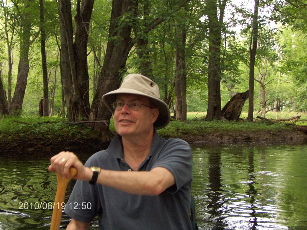
Here is One Happy Camper!
After almost three hours of paddling we pull out onto a bank to stretch our legs and engage in Luncheon Number 2.
We are in the swamp proper. The ground is muddy, but firm.
Everywhere we look we see scenes of peace.
Every few minutes we are greeted with a change in shades of green.
Dark green water weed stream like Iolanthe ’s hair
Here is a Movie 2247 (5 MB) of a little brook babbling into the stream.
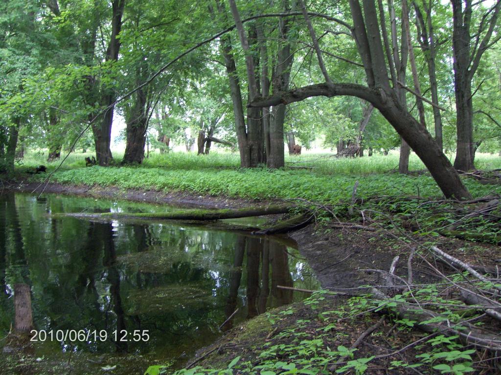
The view is superb. This look like a pasture but is really swamp.
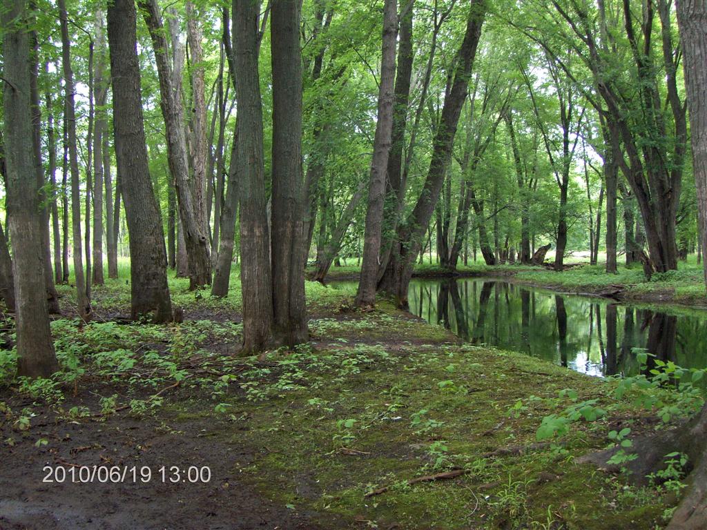
Looking down-stream from the bank
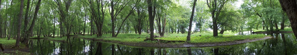
Here is a panoramic view from where we stood.
SCROLL TO THE RIGHT!
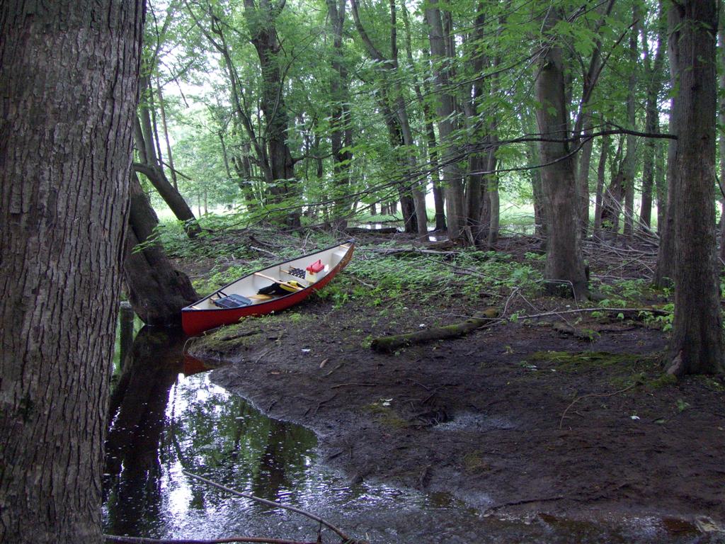
The canoe is safely drawn up.
We hadn’t calculated at this time, but later we found that this was our longest on-water trip ever, except for the Oxtongue River and Oxtongue Lake .
We jumped across the little creek (see the 5MB movie above)
We are almost ready to turn back.
As Fred remarked – on the way back we get a different view of the river; it is rather like a two-for-the-price-of-one deal.
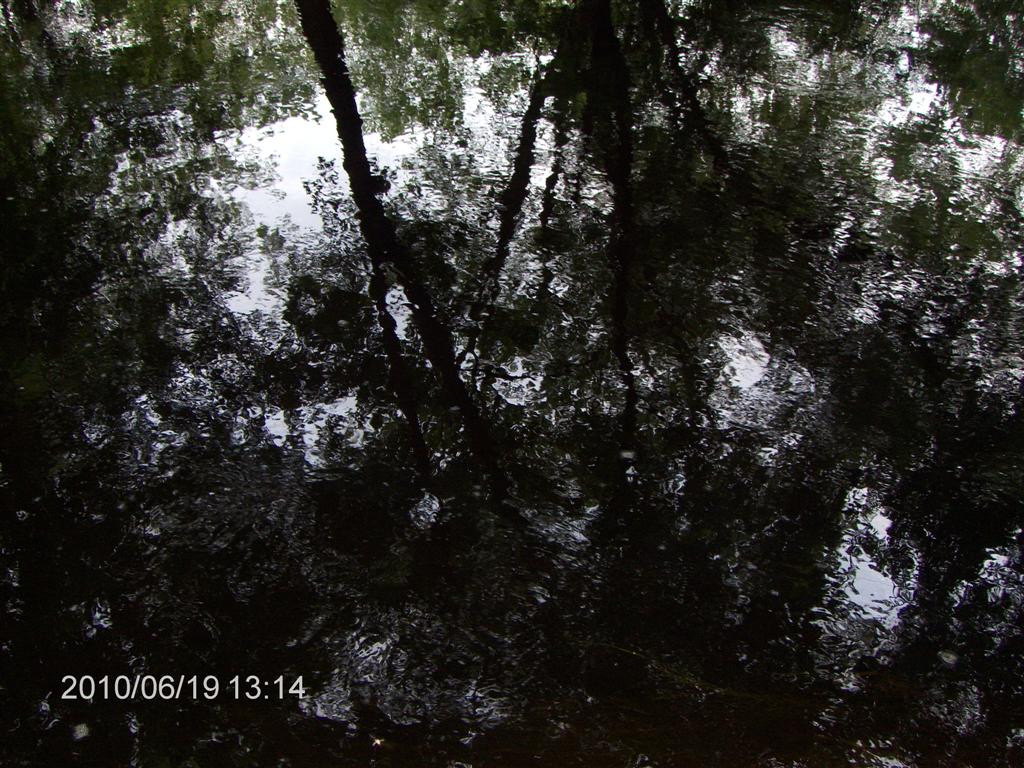
The reflections in the water were amazing.
Here is a shot of the ground cover alongside the stream.
At the time we returned to the Edenvale spot, another party of two canoes was heading off, but they were taking the easy route – downstream and using a car to drive back.
We had done a real trip – out-and-back!
What’s more we had made an early start – we were ending our trip when everyone else was just starting.
Our agreement was, and is, that this is the best trip we have had, even though it does not include granite rocks and pine trees.
Fred’s remark is true – we are 60 minutes drive from a megapolis of about three million people, and yet no one but us is on this river. There is nicer scenery up north, and perhaps most people think that you need to go to Algonquin park for a REAL canoe trip, but for a short drive and a great paddle this can’t be beat.
We reckoned that the last time we met canoeist on a paddle was two years ago when we paddled the Oxtongue River and Oxtongue Lake .
Rick says:
The Nicolston Dam used to or maybe still does offer a shuttle service on the Nottawasaga River. You can start at the Dam (Hwy 89) and paddle north for one or two major sections (get out at major roads crossing the river north) then call the Dam folks to shuttle you back to your car. Not recommended in flood conditions.
You might consider the Saugeen R. It has similar shuttle service options:
http://www.thorncrestoutfitters.com/paddling/saugeen.htm
(1) 40 poles was one furlong in ancient English measurement. A furlong was a “furrow-long”, 220 yards.
709 218 7927 CPRGreaves@gmail.com Bonavista, Friday, December 04, 2020 6:15 PM Copyright © 1996-2020 Chris Greaves. All Rights Reserved. |
|---|